


$1,500 / Month
165 S Flagg St
Worcester, MA 01602
Today
Favorites
856-393-7365
-
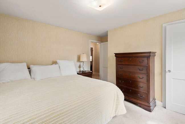
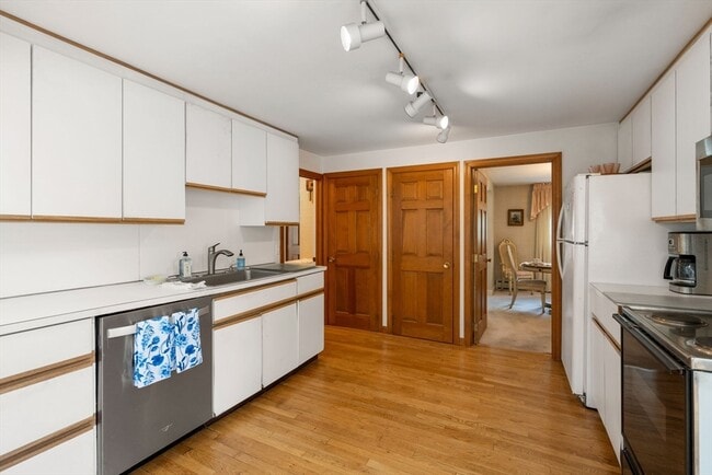
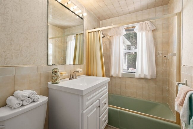
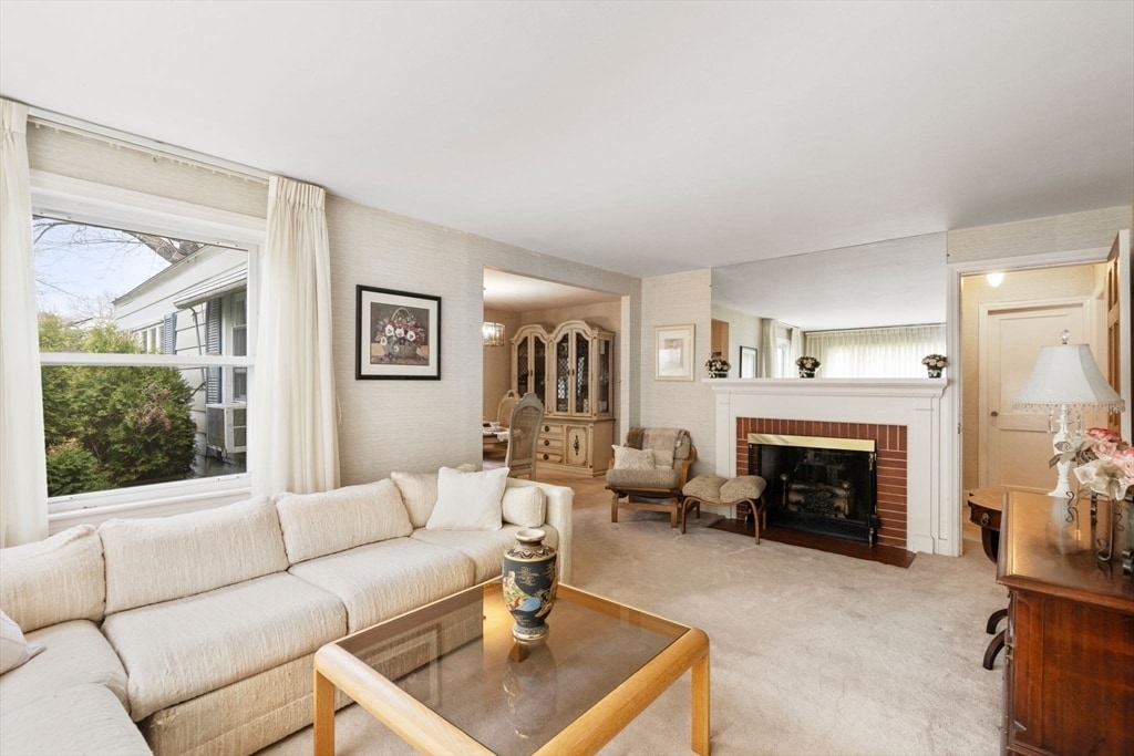
Bedrooms
2
-
Bathrooms
2
-
Square Feet
1,528 sq ft
-
Available
Available Aug 18
165 S Flagg St

Favorites
The Tatnuck community is largely made up of the Worcester State University campus. The college is smack dab in the middle of it all, surrounded by Rockwood Field and local elementary schools. Encompassing this suburban community are local restaurants, convenience stores, and quick-bites establishments.
When you live in Tatnuck, you’re down the road from Tatnuck Country Club, Boynton Park, and the Worcester Regional Airport. The Shoppes at Blackstone Valley mall is just eight miles southeast of the neighborhood, and the perfect spot for a day of shopping, lunch, and watching a movie. Near Interstate 290 is Wormtown Brewing Company, which is known for their “Blizzard of ‘78” English-style brown ale.
Learn more about living in Tatnuck
Education
| Colleges & Universities | Distance | ||
|---|---|---|---|
| Colleges & Universities | Distance | ||
| Walk: | 8 min | 0.4 mi | |
| Drive: | 5 min | 2.1 mi | |
| Drive: | 5 min | 2.1 mi | |
| Drive: | 7 min | 2.3 mi |
165 S Flagg St is within 8 minutes or 0.4 mile from Worcester State University. It is also near Becker College, Worcester and Clark University.
Schools


Public Elementary School
Grades K-6
295 Students
Attendance Zone
Public Elementary School
Grades PK-6
402 Students
Attendance Zone
Public Middle & High School
Grades 7-12
224 Students
Attendance Zone
Public Middle School
Grades 7-8
897 Students
Attendance Zone
Public High School
Grades 9-12
1,344 Students
Attendance Zone
Private Elementary, Middle & High School
Grades 5-12
Nearby
Private Elementary School
Grades PK-6
8 Students
Nearby
Private Elementary & Middle School
Grades PK-8
339 Students
Nearby
School data provided by
 The GreatSchools Rating helps parents compare schools within a state based on a variety of school quality indicators and provides a helpful picture of how effectively each school serves all of its students. Ratings are on a scale of 1 (below average) to 10 (above average) and can include test scores, college readiness, academic progress, advanced courses, equity, discipline and attendance data. We also advise parents to visit schools, consider other information on school performance and programs, and consider family needs as part of the school selection process.
View GreatSchools Rating Methodology
Data provided by GreatSchools.org © 2025. All rights reserved.
View GreatSchools Rating Methodology
Data provided by GreatSchools.org © 2025. All rights reserved.
You May Also Like
Similar Rentals Nearby


What Are Walk Score®, Transit Score®, and Bike Score® Ratings?
Walk Score® measures the walkability of any address. Transit Score® measures access to public transit. Bike Score® measures the bikeability of any address.
What is a Sound Score Rating?
A Sound Score Rating aggregates noise caused by vehicle traffic, airplane traffic and local sources
165 S Flagg St
Worcester, MA 01602