$2,500
/ Month
164 National St
Ranson, WV 25438
Favorites
304-886-0759
-
Bedrooms
4
-
Bathrooms
2.5
-
Square Feet
2,184 sq ft
-
Available
Available Now
164 National St

Favorites
About This Home
Available Now
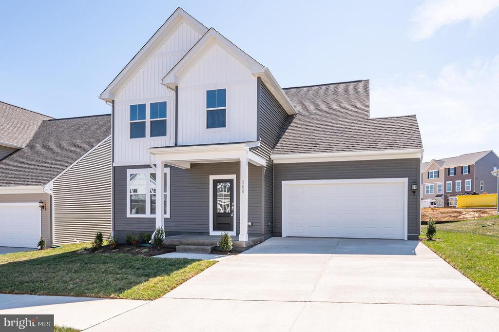
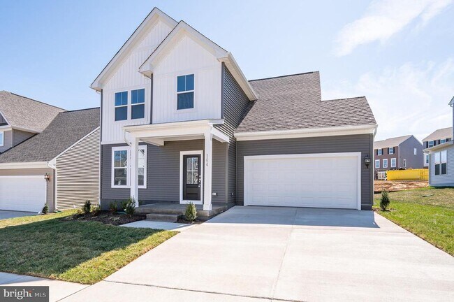
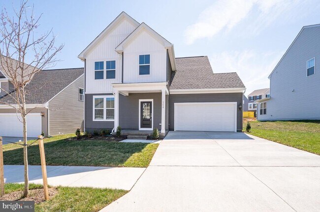
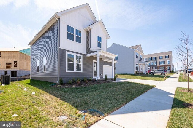
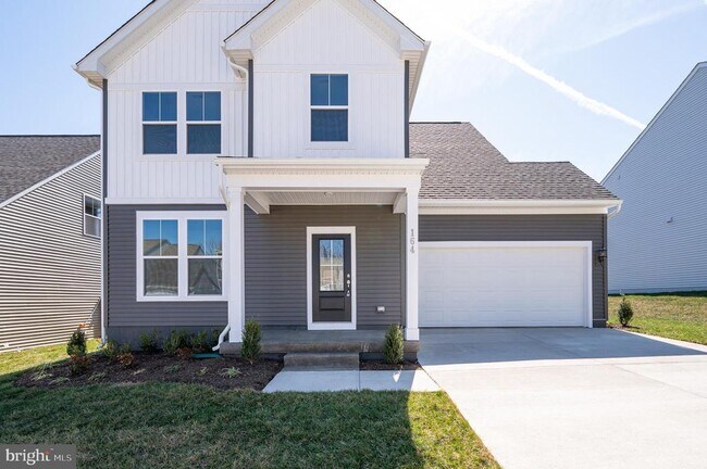
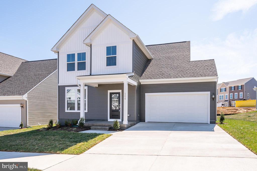
Rent this Charming 4-Bedroom Home with modern features! Dive into the comfort of this single-family home, encompassing 4 bedrooms, 2.5 bathrooms, and a spacious 2-car garage. Sprawling over 2,100+ sqft, this residence offers a contemporary, open-concept layout with stylish LVP flooring across the main floor. The welcoming entryway leads to a large foyer, flanked by a cozy den/office. Experience the beautifully updated kitchen with sleek quartz countertops and high-quality stainless steel appliances. The main living opens up into a large family area, plus an added extended sunroom off the kitchen. The upper level houses three ample bedrooms and a shared full bathroom. Revel in the luxury of the master bedroom, complete with an exclusive ensuite and a spacious walk-in closet. Perfectly situated in Jefferson County, the home provides easy access to Routes 9, 15, and 7, ensuring a smooth commute. This property is ideal for those seeking a blend of style and convenience. To book a visit, reach out today! Please note, applicants must pass a credit/background check, have a minimum FICO score of 650, and earn at least three times the monthly rent. Smoking is prohibited. NO PETS.
164 National St is a house located in Jefferson County and the 25438 ZIP Code.
* Price shown is base rent. Excludes user-selected optional fees and variable or usage-based fees and required charges due at or prior to move-in or at move-out. Price, availability, fees, and any applicable rent special are subject to change without notice.
* Square footage definitions vary. Displayed square footage is approximate.
House Features
- Dishwasher
Contact
- Listed by Wesley B Smith | Pearson Smith Realty, LLC
- Phone Number
- Contact
-
Source
 Bright MLS, Inc.
Copyright © 2026 Bright MLS, Inc.
Location
Get Directions
Ranson sits in the Eastern Panhandle of West Virginia, tucked into Jefferson County just minutes from the county seat of Charles Town and about an hour's drive from Washington, D.C. The Blue Ridge Mountains frame the horizon to the south, and the Shenandoah River runs not far from town. Daily life here has a low-key, small-town pace, but the Route 9 corridor gives residents quick access to restaurants, shops, and services without needing to venture far. Neighboring Shepherdstown and the historic town of Harpers Ferry are both within a short drive, adding a lot of weekend options to the area's appeal. The city has been one of the faster-growing municipalities in Jefferson County, with its population increasing more than 80 percent between 2000 and 2020. The rental landscape in Ranson includes single-family homes, townhomes, and garden-style apartment communities.
Learn more about living in Ranson
Amenities
- Dishwasher
Education
| Colleges & Universities | Distance | ||
|---|---|---|---|
| Colleges & Universities | Distance | ||
| Drive: | 18 min | 12.1 mi | |
| Drive: | 39 min | 26.6 mi | |
| Drive: | 42 min | 29.1 mi | |
| Drive: | 51 min | 32.7 mi |
164 National St is within 18 minutes or 12.1 miles from Shepherd University. It is also near Shenandoah University and Hagerstown Community College.
Getting Around
 What do Walkability, Transit, Drivability, and Bikeability mean?
Walkability measures the walking distance to day-to-day needs.
Transit measures access to public transportation.
Drivability measures congestion, parking availability, and access to major roads.
Bikeability measures the suitability for cycling.
How It Works
What do Walkability, Transit, Drivability, and Bikeability mean?
Walkability measures the walking distance to day-to-day needs.
Transit measures access to public transportation.
Drivability measures congestion, parking availability, and access to major roads.
Bikeability measures the suitability for cycling.
How It Works
Fairly Walkable
Walkability
40
/ 100
Minimal Public Transit
Transit
0
/ 100
Exceptionally Drivable
Drivability
100
/ 100
Somewhat Bikeable
Bikeability
20
/ 100
Scores provided by
What do Walkability, Transit, Drivability, and Bikeability mean?
Walkability measures the walking distance to day-to-day needs.
Transit measures access to public transportation.
Drivability measures congestion, parking availability, and access to major roads.
Bikeability measures the suitability for cycling.
How It Works
-
Soundscore™
-
/ 100
Traffic
-Airport
-Businesses
-Scores provided by
HowLoud What is a Sound Score Rating? A Sound Score Rating aggregates noise caused by vehicle traffic, airplane traffic and local sources. How It WorksYou May Also Like
Similar Rentals Nearby
-
-
-
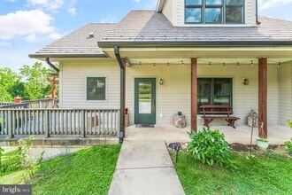
 4 Beds, 3 Baths, 3,968 sq ft$2,550Total Monthly PriceTotal Monthly Price NewPrices include all required monthly fees.48 Battlefield Dr
 -
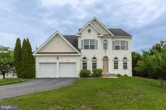
 4 Beds, 2 Baths, 2,864 sq ft$3,400Total Monthly PriceTotal Monthly Price NewPrices include all required monthly fees.40989 Redwing Song Ln
 -
-
-
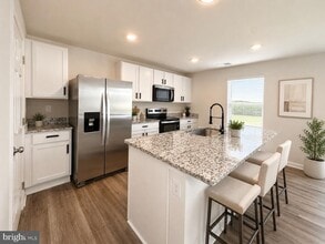
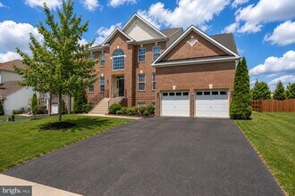 6 Beds, 5 Baths, 4,884 sq ft$3,600Total Monthly PriceTotal Monthly Price NewPrices include all required monthly fees.120 Nassau Dr
 -
-
 4 Beds, 2.5 Baths, 2,122 sq ft$4,500Total Monthly PriceTotal Monthly Price NewPrices include all required monthly fees.43160 Evans Pond Rd
 -
 6 Beds, 5.5 Baths, 6,104 sq ft$6,450Total Monthly PriceTotal Monthly Price NewPrices include all required monthly fees.19876 Somercote Ln
164 National St
Ranson, WV 25438