
$2,500
Total Monthly Price
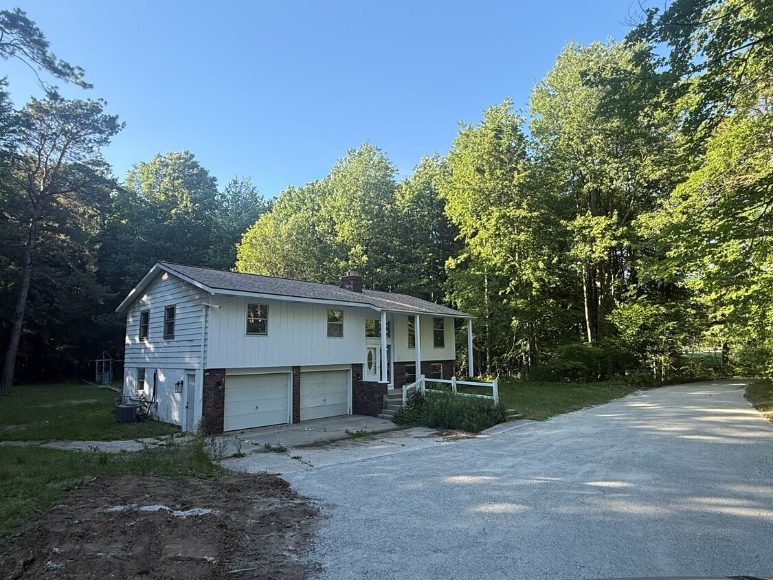
16265 Port Sheldon St
West Olive, MI 49460
Favorites
-
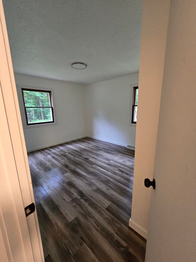
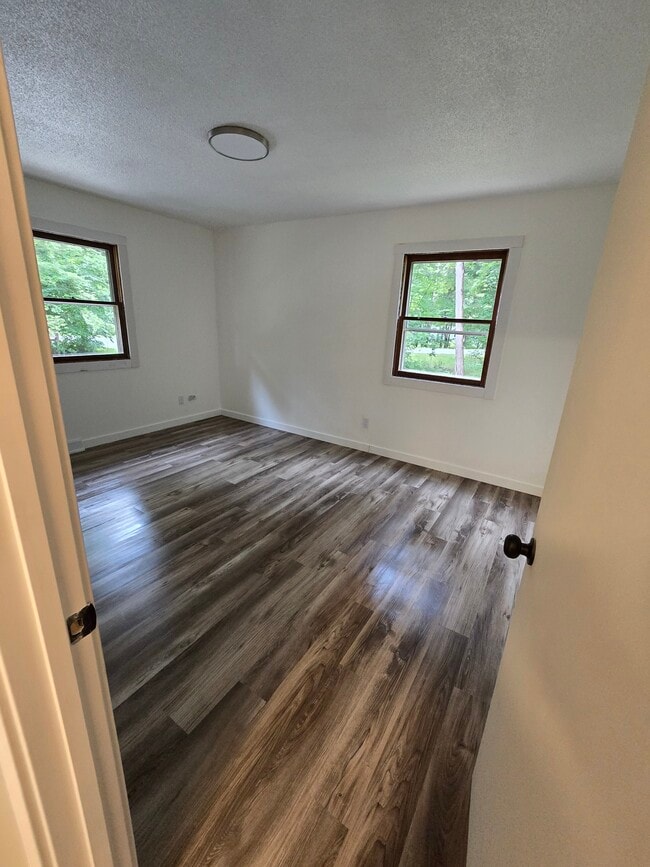
Bedrooms
3
-
Bathrooms
2
-
Square Feet
1,298 sq ft
-
Available
Available Now
Highlight
- Deck
16265 Port Sheldon St

Favorites
About This Home
12 Month Lease,
$2,500 deposit,
Available Now
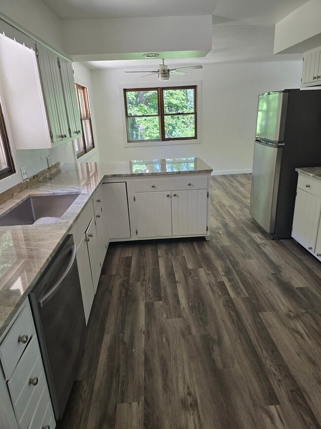
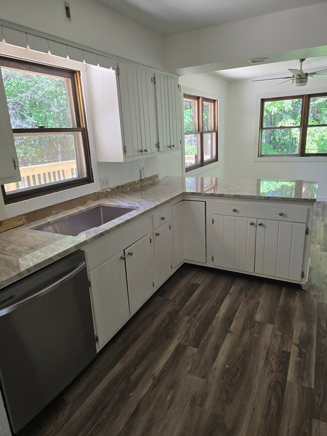
3 bedroom 2 bath home private wooded setting. Close to township park and Lake Michigan. A completely finished walkout lower level. Large deck off the kitchen that offers views and access to backyard.
16265 Port Sheldon St is a house located in Ottawa County and the 49460 ZIP Code. This area is served by the West Ottawa Public School District attendance zone.
* Price shown is total price based on community-supplied monthly required fees. Excludes user-selected optional fees and variable or usage-based fees and required charges due at or prior to move-in or at move-out. Price, availability, fees, and any applicable rent special are subject to change without notice.
* Square footage definitions vary. Displayed square footage is approximate.
House Features
- Kitchen
- Deck
Contact
- Contact
Location
Get Directions
Education
| Colleges & Universities | Distance | ||
|---|---|---|---|
| Colleges & Universities | Distance | ||
| Drive: | 17 min | 9.6 mi | |
| Drive: | 33 min | 21.8 mi | |
| Drive: | 38 min | 26.9 mi | |
| Drive: | 39 min | 27.4 mi |
16265 Port Sheldon St is within 17 minutes or 9.6 miles from Hope College. It is also near Grand Valley State University and Baker College of Muskegon.
Schools


Public Elementary School
Grades PK-5
212 Students
Attendance Zone
Public Middle School
Grades 6-8
922 Students
Attendance Zone
Public High School
Grades 9-12
2,177 Students
Attendance Zone
Private Elementary, Middle & High School
Grades K-12
14 Students
Nearby
Private Elementary School
Grades PK-5
70 Students
Nearby
School data provided by
 The GreatSchools Rating helps parents compare schools within a state based on a variety of school quality indicators and provides a helpful picture of how effectively each school serves all of its students. Ratings are on a scale of 1 (below average) to 10 (above average) and can include test scores, college readiness, academic progress, advanced courses, equity, discipline and attendance data. We also advise parents to visit schools, consider other information on school performance and programs, and consider family needs as part of the school selection process.
View GreatSchools Rating Methodology
Data provided by GreatSchools.org © 2026. All rights reserved.
View GreatSchools Rating Methodology
Data provided by GreatSchools.org © 2026. All rights reserved.
Getting Around
 What do Walkability, Transit, Drivability, and Bikeability mean?
Walkability measures the walking distance to day-to-day needs.
Transit measures access to public transportation.
Drivability measures congestion, parking availability, and access to major roads.
Bikeability measures the suitability for cycling.
How It Works
What do Walkability, Transit, Drivability, and Bikeability mean?
Walkability measures the walking distance to day-to-day needs.
Transit measures access to public transportation.
Drivability measures congestion, parking availability, and access to major roads.
Bikeability measures the suitability for cycling.
How It Works
Not Walkable
Walkability
10
/ 100
Exceptionally Drivable
Drivability
100
/ 100
Fairly Bikeable
Bikeability
40
/ 100
Scores provided by
Active
Soundscore™
72
/ 100
Traffic
BusyAirport
CalmBusinesses
CalmScores provided by
HowLoud What is a Sound Score Rating? A Sound Score Rating aggregates noise caused by vehicle traffic, airplane traffic and local sources. How It Works
Amenities
- Kitchen
- Deck
16265 Port Sheldon St Photos
-
Front of House
-
Kitchen
-
Kitchen
-
Bedroom
-
Bedroom
-
Bathroom
-
Bedroom
-
Lower Level Family room
-
Lower Level Bathroom
16265 Port Sheldon St
West Olive, MI 49460