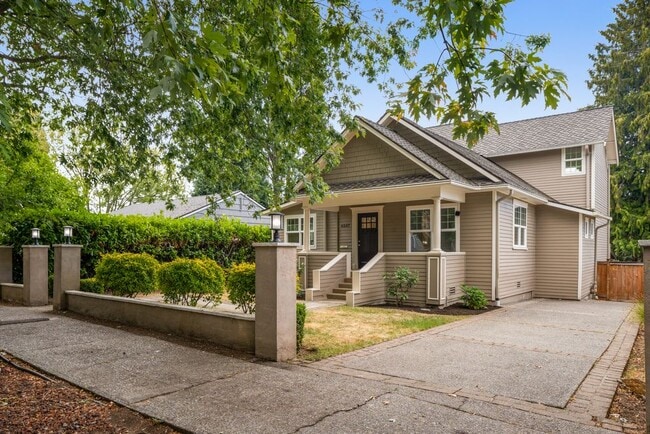
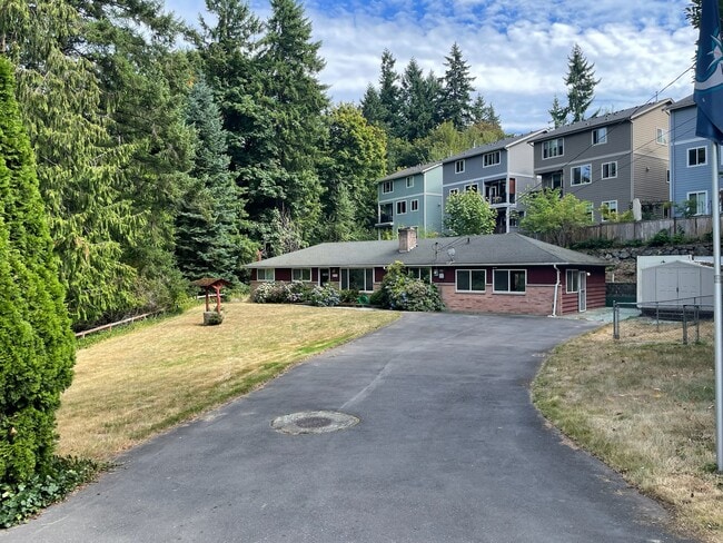
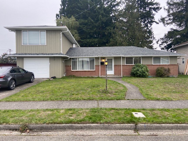
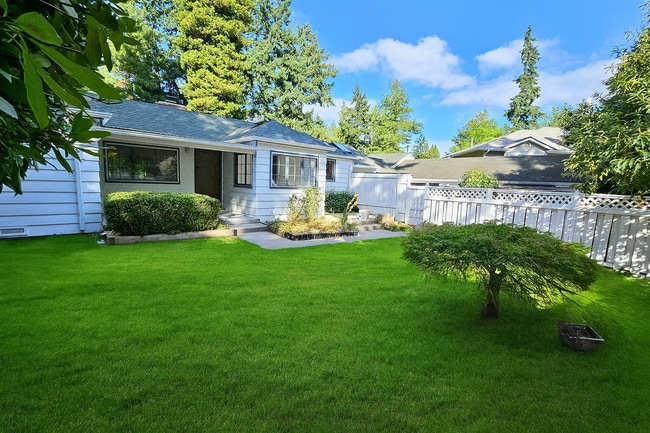
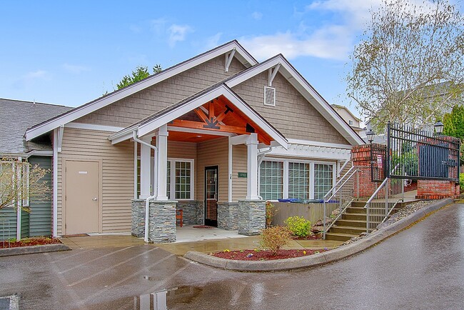
16214 12th Ave SW
16214 12th Ave SW
Burien, WA 98166

Check Back Soon for Upcoming Availability
Burien is a small suburban city, perfectly positioned to give residents easy access to virtually everything the Puget Sound area has to offer. Downtown Seattle is less than fifteen miles north and Sea-Tac Airport lies just outside the city’s southeast corner, making it an excellent rental location for commuters and jet-setters.
The community enjoys a large waterfront area, with Seahurst Park providing an unspoiled natural playground with stunning views of Puget Sound and the evergreen forests of the Pacific Northwest. The area known as “Olde Burien” serves as the city’s highly-walkable downtown business district, with an abundance of locally-owned shops, restaurants, and watering holes clustered together along 152nd Street.
Learn more about living in Burien| Colleges & Universities | Distance | ||
|---|---|---|---|
| Colleges & Universities | Distance | ||
| Drive: | 19 min | 7.0 mi | |
| Drive: | 16 min | 7.6 mi | |
| Drive: | 19 min | 11.0 mi | |
| Drive: | 21 min | 13.1 mi |
Transportation options available in Burien include Tukwila International Boulevard, located 3.9 miles from 16214 12th Ave SW. 16214 12th Ave SW is near Seattle-Tacoma International, located 5.0 miles or 12 minutes away, and Seattle Paine Field International, located 36.2 miles or 53 minutes away.
| Transit / Subway | Distance | ||
|---|---|---|---|
| Transit / Subway | Distance | ||
|
|
Drive: | 8 min | 3.9 mi |
|
|
Drive: | 9 min | 4.8 mi |
| Drive: | 10 min | 4.9 mi | |
|
|
Drive: | 16 min | 7.3 mi |
|
|
Drive: | 16 min | 7.4 mi |
| Commuter Rail | Distance | ||
|---|---|---|---|
| Commuter Rail | Distance | ||
|
|
Drive: | 11 min | 6.4 mi |
|
|
Drive: | 20 min | 11.0 mi |
| Drive: | 20 min | 11.0 mi | |
|
|
Drive: | 20 min | 11.7 mi |
|
|
Drive: | 27 min | 15.7 mi |
| Airports | Distance | ||
|---|---|---|---|
| Airports | Distance | ||
|
Seattle-Tacoma International
|
Drive: | 12 min | 5.0 mi |
|
Seattle Paine Field International
|
Drive: | 53 min | 36.2 mi |
Time and distance from 16214 12th Ave SW.
| Shopping Centers | Distance | ||
|---|---|---|---|
| Shopping Centers | Distance | ||
| Walk: | 18 min | 0.9 mi | |
| Walk: | 20 min | 1.1 mi | |
| Drive: | 3 min | 1.1 mi |
| Parks and Recreation | Distance | ||
|---|---|---|---|
| Parks and Recreation | Distance | ||
|
Eagle Landing Park
|
Drive: | 4 min | 1.6 mi |
|
Seahurst Park
|
Drive: | 6 min | 2.3 mi |
|
Highline SeaTac Botanical Garden
|
Drive: | 7 min | 3.4 mi |
|
Westcrest Park
|
Drive: | 12 min | 5.2 mi |
|
Fauntleroy Park
|
Drive: | 14 min | 5.7 mi |
| Hospitals | Distance | ||
|---|---|---|---|
| Hospitals | Distance | ||
| Walk: | 11 min | 0.6 mi | |
| Drive: | 9 min | 4.2 mi | |
| Drive: | 14 min | 5.9 mi |
| Military Bases | Distance | ||
|---|---|---|---|
| Military Bases | Distance | ||
| Drive: | 38 min | 18.8 mi | |
| Drive: | 81 min | 57.6 mi |
You May Also Like
Similar Rentals Nearby
What Are Walk Score®, Transit Score®, and Bike Score® Ratings?
Walk Score® measures the walkability of any address. Transit Score® measures access to public transit. Bike Score® measures the bikeability of any address.
What is a Sound Score Rating?
A Sound Score Rating aggregates noise caused by vehicle traffic, airplane traffic and local sources

