2 Beds, 2 Baths, 1,023 sq ft
$1,200
Total Monthly Price
12 Month Lease
Total Monthly Price
New
Prices include all required monthly fees.
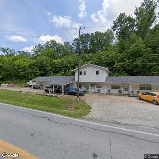
110 Vixen Cir Unit Apt. E