
16 Dyer St
Framingham, MA 01702
-
Bedrooms
1
-
Bathrooms
1
-
Square Feet
--
-
Available
Available Jun 5
Highlight
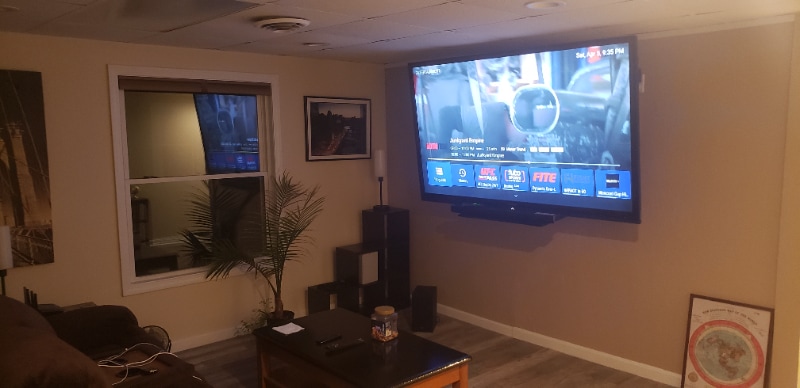
- Room for Rent

About This Home
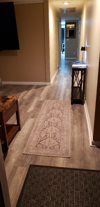
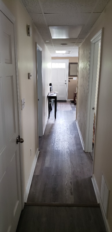
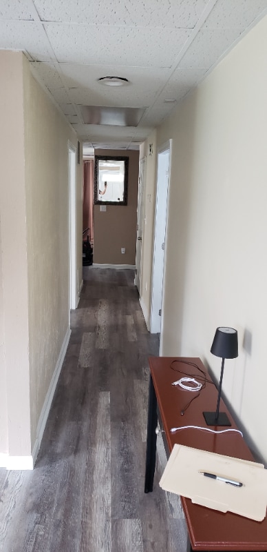
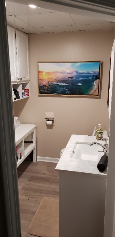
Property Id: 1930531 This is a house share with large private bedroom with a half bath (soon to be full bath) for a single person. Access to family room, kitchen, main bath, backyard and laundry room. Located in nice neighborhood across from CVS on Concord St... Will be doing some house updates and current tenant will be moved out by the beginning of June and will available June 5th.
16 Dyer St is a house located in Middlesex County and the 01702 ZIP Code.
House Features
Washer/Dryer
Dishwasher
Microwave
Refrigerator
- Washer/Dryer
- Dishwasher
- Microwave
- Oven
- Refrigerator
- Freezer
- Vinyl Flooring
Fees and Policies
The fees below are based on community-supplied data and may exclude additional fees and utilities.
- Dogs Allowed
-
Fees not specified
-
Weight limit--
-
Pet Limit--
Details
Utilities Included
-
Water
-
Trash Removal
-
Sewer
Contact
- Phone Number
- Contact
-
Source

- Washer/Dryer
- Dishwasher
- Microwave
- Oven
- Refrigerator
- Freezer
- Vinyl Flooring
Just west of Boston and East of Worcester sits Metro West, a region that houses a group of towns and cities with significant historical backgrounds. A total of 19 municipalities make up the core of this community, but other municipalities are considered to be a part of the Interstate 495/Metro West Corridor.
Learn more about living in Metro West| Colleges & Universities | Distance | ||
|---|---|---|---|
| Colleges & Universities | Distance | ||
| Drive: | 5 min | 2.5 mi | |
| Drive: | 15 min | 6.4 mi | |
| Drive: | 15 min | 8.6 mi | |
| Drive: | 20 min | 11.8 mi |
Transportation options available in Framingham include Woodland, located 10.0 miles from 16 Dyer St. 16 Dyer St is near General Edward Lawrence Logan International, located 23.9 miles or 35 minutes away, and Worcester Regional, located 26.5 miles or 46 minutes away.
| Transit / Subway | Distance | ||
|---|---|---|---|
| Transit / Subway | Distance | ||
|
|
Drive: | 17 min | 10.0 mi |
|
|
Drive: | 18 min | 10.7 mi |
|
|
Drive: | 18 min | 10.7 mi |
| Commuter Rail | Distance | ||
|---|---|---|---|
| Commuter Rail | Distance | ||
|
|
Drive: | 3 min | 1.3 mi |
|
|
Drive: | 6 min | 2.2 mi |
|
|
Drive: | 8 min | 4.4 mi |
|
|
Drive: | 13 min | 5.4 mi |
|
|
Drive: | 12 min | 6.9 mi |
| Airports | Distance | ||
|---|---|---|---|
| Airports | Distance | ||
|
General Edward Lawrence Logan International
|
Drive: | 35 min | 23.9 mi |
|
Worcester Regional
|
Drive: | 46 min | 26.5 mi |
Time and distance from 16 Dyer St.
| Shopping Centers | Distance | ||
|---|---|---|---|
| Shopping Centers | Distance | ||
| Walk: | 17 min | 0.9 mi | |
| Walk: | 18 min | 1.0 mi | |
| Drive: | 3 min | 1.4 mi |
| Parks and Recreation | Distance | ||
|---|---|---|---|
| Parks and Recreation | Distance | ||
|
Callahan State Park
|
Drive: | 9 min | 4.4 mi |
|
Hop Brook Natural Area
|
Drive: | 9 min | 4.7 mi |
|
Cowassock Woods and Ashland Town Forest
|
Drive: | 10 min | 4.8 mi |
|
Garden in the Woods
|
Drive: | 11 min | 5.3 mi |
|
Cochituate State Park
|
Drive: | 16 min | 10.3 mi |
| Hospitals | Distance | ||
|---|---|---|---|
| Hospitals | Distance | ||
| Walk: | 19 min | 1.0 mi | |
| Drive: | 16 min | 9.7 mi | |
| Drive: | 18 min | 10.5 mi |
| Military Bases | Distance | ||
|---|---|---|---|
| Military Bases | Distance | ||
| Drive: | 7 min | 4.0 mi | |
| Drive: | 31 min | 16.4 mi |
You May Also Like
What Are Walk Score®, Transit Score®, and Bike Score® Ratings?
Walk Score® measures the walkability of any address. Transit Score® measures access to public transit. Bike Score® measures the bikeability of any address.
What is a Sound Score Rating?
A Sound Score Rating aggregates noise caused by vehicle traffic, airplane traffic and local sources
16 Dyer St
Framingham, MA 01702