

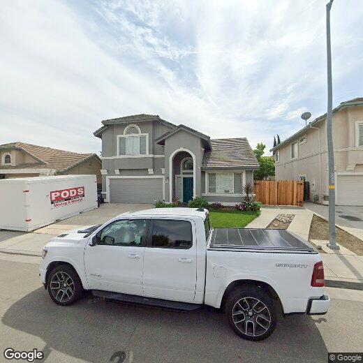
1554 Tanya Ln
1554 Tanya Ln
Tracy, CA 95377
Favorites
1554 Tanya Ln

Favorites
Check Back Soon for Upcoming Availability
| Beds | Baths | Average SF |
|---|---|---|
| 5 Bedrooms 5 Bedrooms 5 Br | 3 Baths 3 Baths 3 Ba | — |
1554 Tanya Ln,
Tracy,
CA
95377
Tracy sits at the intersection of three major interstates in California's Central Valley, giving it a geographic position that few cities its size can match. With roughly 94,000 residents spread across 23 square miles, the city functions as a practical base for people working across the Bay Area, the Tri-Valley, or the broader San Joaquin region. The Altamont Corridor Express train connects downtown Tracy to Silicon Valley on weekdays, making car-free commuting a real option. The Grand Theatre Center for the Arts anchors cultural life downtown, while the Tracy Historical Museum traces the city's origins as a 19th-century railroad town named after Central Pacific director Lathrop J. Tracy.
The city offers genuine neighborhood variety, from the established streets near Downtown and El Pescadero Park to newer hillside development in Tracy Hills and the Hidden Lake area in the north.
Learn more about living in Tracy
Education
| Colleges & Universities | Distance | ||
|---|---|---|---|
| Colleges & Universities | Distance | ||
| Drive: | 18 min | 10.3 mi | |
| Drive: | 34 min | 24.3 mi | |
| Drive: | 37 min | 26.4 mi | |
| Drive: | 39 min | 27.7 mi |
1554 Tanya Ln is within 18 minutes or 10.3 miles from San Joaquin Delta, Mtn. House. It is also near Las Positas College and University of the Pacific.
Walkability Near 1554 Tanya Ln Tracy, CA 95377
Getting Around
 What do Walkability, Transit, Drivability, and Bikeability mean?
Walkability measures the walking distance to day-to-day needs.
Transit measures access to public transportation.
Drivability measures congestion, parking availability, and access to major roads.
Bikeability measures the suitability for cycling.
How It Works
What do Walkability, Transit, Drivability, and Bikeability mean?
Walkability measures the walking distance to day-to-day needs.
Transit measures access to public transportation.
Drivability measures congestion, parking availability, and access to major roads.
Bikeability measures the suitability for cycling.
How It Works
Somewhat Walkable
Walkability
20
/ 100
Limited Public Transit
Transit
30
/ 100
Exceptionally Drivable
Drivability
90
/ 100
Fairly Bikeable
Bikeability
40
/ 100
Scores provided by
-
Soundscore™
-
/ 100
Traffic
-Airport
-Businesses
-Scores provided by
HowLoud What is a Sound Score Rating? A Sound Score Rating aggregates noise caused by vehicle traffic, airplane traffic and local sources. How It WorksYou May Also Like
Similar Rentals Nearby


What Are Walk Score®, Transit Score®, and Bike Score® Ratings?
Walk Score® measures the walkability of any address. Transit Score® measures access to public transit. Bike Score® measures the bikeability of any address.
What is a Sound Score Rating?
A Sound Score Rating aggregates noise caused by vehicle traffic, airplane traffic and local sources.
1554 Tanya Ln
Tracy, CA 95377