
$3,000 / Month
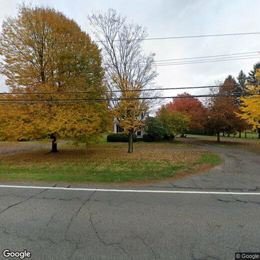
154 N Main St
Sunderland, MA 01375
2 Weeks Ago
Favorites
154 N Main St

Favorites
Check Back Soon for Upcoming Availability
| Beds | Baths | Average SF |
|---|---|---|
| 4 Bedrooms 4 Bedrooms 4 Br | 3 Baths 3 Baths 3 Ba | 1,891 SF |
Location
Get Directions
On the eastern bank of the Connecticut River just nine miles north of Amherst, Sunderland is a charming town that’s stood the test of time since 1718. Sunderland’s nearly 15 square miles of land rests near a large concentration of state forests, wildlife area, and preserves, making this Massachusetts locale perfect for outdoor lovers, families, and students alike.
Sunderland is a modest town, but there are a few lively, local spots like Wild Roots and Blue Heron along Amherst Road that make a compelling case for a night out. Students might enjoy the quiet atmosphere of Sunderland, as the University of Massachusetts Amherst is only seven miles south. Take a hike through Mount Toby State Forest, or one of the many wildlife areas just north of the town. I-91 is just across the river to the west, so a trip into Springfield is never out of the question.
Learn more about living in Sunderland
Education
| Colleges & Universities | Distance | ||
|---|---|---|---|
| Colleges & Universities | Distance | ||
| Drive: | 14 min | 7.8 mi | |
| Drive: | 16 min | 8.1 mi | |
| Drive: | 22 min | 11.7 mi | |
| Drive: | 21 min | 13.3 mi |
154 N Main St is within 14 minutes or 7.8 miles from UMass Amherst. It is also near Amherst College and Hampshire College.
Similar Rentals Nearby
-
-
 $6,4505 Beds, 3.5 Baths, 2,500 sq ftHouse for Rent
 -

-

-

-

-

-

-

-

What Are Walk Score®, Transit Score®, and Bike Score® Ratings?
Walk Score® measures the walkability of any address. Transit Score® measures access to public transit. Bike Score® measures the bikeability of any address.
What is a Sound Score Rating?
A Sound Score Rating aggregates noise caused by vehicle traffic, airplane traffic and local sources

154 N Main St
Sunderland, MA 01375