


$2,400
Total Monthly Price
Total Monthly Price
New
Prices include all required monthly fees.
12 Month Lease
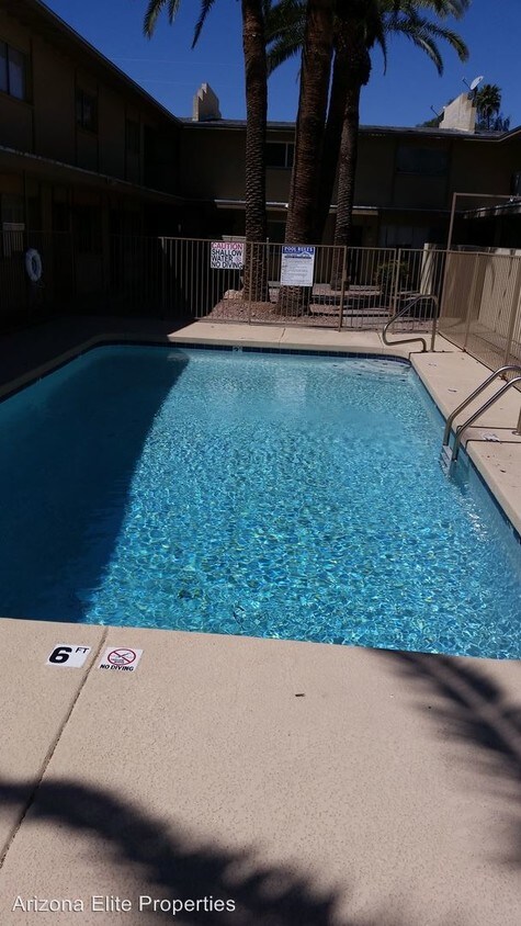
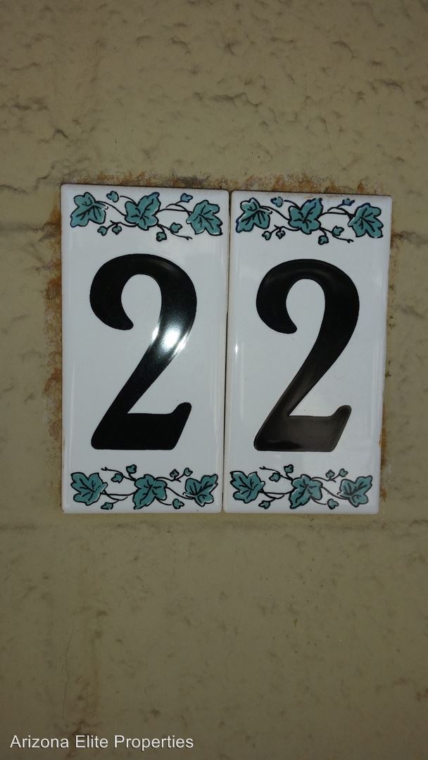
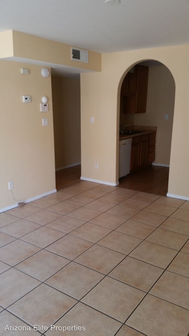
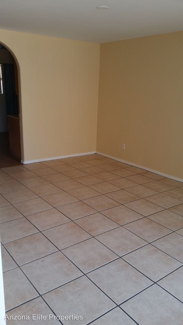
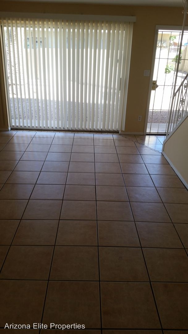
Condo for Rent
2 Beds, 1.5 Baths, 1,074 sq ft


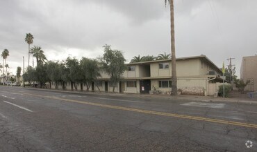
 Very contemporary. - 7777 E Main St")


