
The Boulevard
2635 Contra Costa Blvd,
Pleasant Hill, CA 94523
$2,310 - $2,350
1 Bed
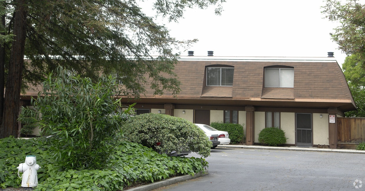
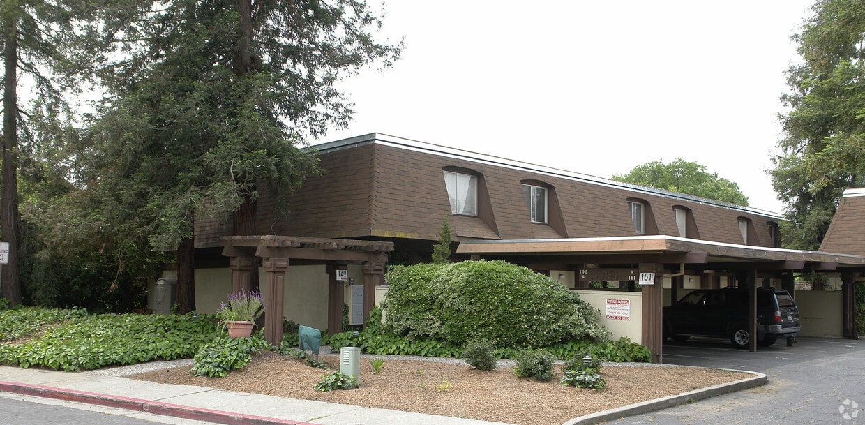

Discover your new home at 149-151 S Cody Ln. This apartment community is located in Pleasant Hill on S. Cody Ln. in the 94523 area. Come by to check out the current floorplan options. From amenities to availability, the professional leasing staff is ready to help you in finding your new apartment. Stop by to talk about leasing your new apartment.
149-151 S Cody Ln is an apartment community located in Contra Costa County and the 94523 ZIP Code. This area is served by the Mt. Diablo Unified School District attendance zone.
Refrigerator
Heating
Range
Kitchen
Pleasant Hill is exactly what you’d expect: a pleasant community in the California hills. This suburb offers urban amenities and small-town charm, along with upscale rentals ranging from single-family homes to modern apartments. A charming outdoor shopping center sits in the heart of downtown, along with neighborhood parks, movie theaters, and top-notch public schools like Sequoia Middle. Pleasant Hill offers proximity to even more shopping and entertainment options like Sunvalley Shopping Center and Six Flags in Concord. Suisun Bay is only a few miles north of town, and Walnut Creek sits directly south. Residents of this upscale suburb also have easy access to Berkeley, Oakland, Richmond, and San Francisco thanks to Interstate 680 and State Route 24.
Learn more about living in Pleasant Hill| Colleges & Universities | Distance | ||
|---|---|---|---|
| Colleges & Universities | Distance | ||
| Drive: | 7 min | 2.4 mi | |
| Drive: | 21 min | 10.0 mi | |
| Drive: | 24 min | 16.4 mi | |
| Drive: | 28 min | 17.2 mi |


Transportation options available in Pleasant Hill include Pleasant Hill / Contra Costa Centre, located 2.4 miles from 149-151 S Cody Ln. 149-151 S Cody Ln is near Metro Oakland International, located 27.0 miles or 38 minutes away, and San Francisco International, located 38.9 miles or 56 minutes away.
| Transit / Subway | Distance | ||
|---|---|---|---|
| Transit / Subway | Distance | ||
|
|
Drive: | 6 min | 2.4 mi |
|
|
Drive: | 7 min | 3.6 mi |
|
|
Drive: | 8 min | 3.9 mi |
|
|
Drive: | 9 min | 5.5 mi |
|
|
Drive: | 10 min | 7.0 mi |
| Commuter Rail | Distance | ||
|---|---|---|---|
| Commuter Rail | Distance | ||
|
|
Drive: | 14 min | 9.4 mi |
| Drive: | 28 min | 18.4 mi | |
|
|
Drive: | 27 min | 20.1 mi |
|
|
Drive: | 29 min | 21.6 mi |
| Drive: | 34 min | 22.9 mi |
| Airports | Distance | ||
|---|---|---|---|
| Airports | Distance | ||
|
Metro Oakland International
|
Drive: | 38 min | 27.0 mi |
|
San Francisco International
|
Drive: | 56 min | 38.9 mi |
Scores provided by
Traffic
ActiveAirport
CalmBusinesses
ActiveScores provided by
HowLoud What is a Sound Score Rating? A Sound Score Rating aggregates noise caused by vehicle traffic, airplane traffic and local sources. How It WorksTime and distance from 149-151 S Cody Ln.
| Shopping Centers | Distance | ||
|---|---|---|---|
| Shopping Centers | Distance | ||
| Walk: | 8 min | 0.4 mi | |
| Walk: | 10 min | 0.6 mi | |
| Walk: | 11 min | 0.6 mi |
| Parks and Recreation | Distance | ||
|---|---|---|---|
| Parks and Recreation | Distance | ||
|
Larkey Park
|
Drive: | 6 min | 2.8 mi |
|
Lindsay Wildlife Museum
|
Drive: | 6 min | 2.8 mi |
|
The Ruth Bancroft Garden
|
Drive: | 8 min | 3.1 mi |
|
Heather Farm Park
|
Drive: | 9 min | 3.7 mi |
|
Gardens at Heather Farm
|
Drive: | 9 min | 3.9 mi |
| Hospitals | Distance | ||
|---|---|---|---|
| Hospitals | Distance | ||
| Drive: | 7 min | 4.2 mi | |
| Drive: | 7 min | 4.4 mi | |
| Drive: | 9 min | 5.3 mi |
Pets Allowed Fitness Center In Unit Washer & Dryer Stainless Steel Appliances Business Center Package Service Elevator
What Are Walk Score®, Transit Score®, and Bike Score® Ratings?
Walk Score® measures the walkability of any address. Transit Score® measures access to public transit. Bike Score® measures the bikeability of any address.
What is a Sound Score Rating?
A Sound Score Rating aggregates noise caused by vehicle traffic, airplane traffic and local sources.

149-151 S Cody Ln
Pleasant Hill, CA 94523


