
143 Ruby Red Ln
143 Ruby Red Ln
Delaware, OH 43015
2 Weeks Ago
|
Edit
Favorites
143 Ruby Red Ln

Favorites
Check Back Soon for Upcoming Availability
| Beds | Baths | Average SF |
|---|---|---|
| 3 Bedrooms 3 Bedrooms 3 Br | 2.5 Baths 2.5 Baths 2.5 Ba | — |
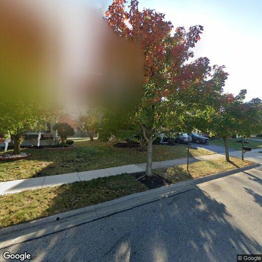
143 Ruby Red Ln,
Delaware,
OH
43015
Delaware, Ohio is a bustling community about 30 miles north of Columbus. Ohio Wesleyan University resides in downtown Ohio and brings a college town feel to the area. To the west of the Olentangy River in downtown, you’ll find an abundance of incredible, family-owned restaurants such as Son of Thurman. This local burger eatery has been in business and family-owned since 1942. Another great place to support locally-owned businesses is Staas Brewing Company.
The Delaware Municipal Airport is located in town, as well as three different golf courses and multiple parks. About eight miles north of downtown Delaware, you’ll find Delaware Lake and State Park. There you’ll have access to River Run Park where you can kayak/canoe down the Olentangy River. After you find your apartment in Delaware, make sure to visit local eateries downtown and take a trip down the river for incredible views of Ohio’s natural beauty.
Learn more about living in Delaware
Education
| Colleges & Universities | Distance | ||
|---|---|---|---|
| Colleges & Universities | Distance | ||
| Drive: | 6 min | 2.6 mi | |
| Drive: | 9 min | 4.7 mi | |
| Drive: | 22 min | 12.6 mi | |
| Drive: | 29 min | 19.0 mi |
143 Ruby Red Ln is within 6 minutes or 2.6 miles from Columbus State C.C., Delaware. It is also near Ohio Wesleyan University and Otterbein College.
Walkability Near 143 Ruby Red Ln Delaware, OH 43015
Getting Around
 What do Walkability, Transit, Drivability, and Bikeability mean?
Walkability measures the walking distance to day-to-day needs.
Transit measures access to public transportation.
Drivability measures congestion, parking availability, and access to major roads.
Bikeability measures the suitability for cycling.
How It Works
What do Walkability, Transit, Drivability, and Bikeability mean?
Walkability measures the walking distance to day-to-day needs.
Transit measures access to public transportation.
Drivability measures congestion, parking availability, and access to major roads.
Bikeability measures the suitability for cycling.
How It Works
Somewhat Walkable
Walkability
20
/ 100
Exceptionally Drivable
Drivability
90
/ 100
Somewhat Bikeable
Bikeability
30
/ 100
Scores provided by
-
Soundscore™
-
/ 100
Traffic
-Airport
-Businesses
-Scores provided by
HowLoud What is a Sound Score Rating? A Sound Score Rating aggregates noise caused by vehicle traffic, airplane traffic and local sources. How It WorksYou May Also Like
Similar Rentals Nearby


What Are Walk Score®, Transit Score®, and Bike Score® Ratings?
Walk Score® measures the walkability of any address. Transit Score® measures access to public transit. Bike Score® measures the bikeability of any address.
What is a Sound Score Rating?
A Sound Score Rating aggregates noise caused by vehicle traffic, airplane traffic and local sources.
143 Ruby Red Ln
Delaware, OH 43015