
Trio Apartments
621 E Colorado Blvd,
Pasadena, CA 91101
Studio - 2 Beds $2,404 - $4,440
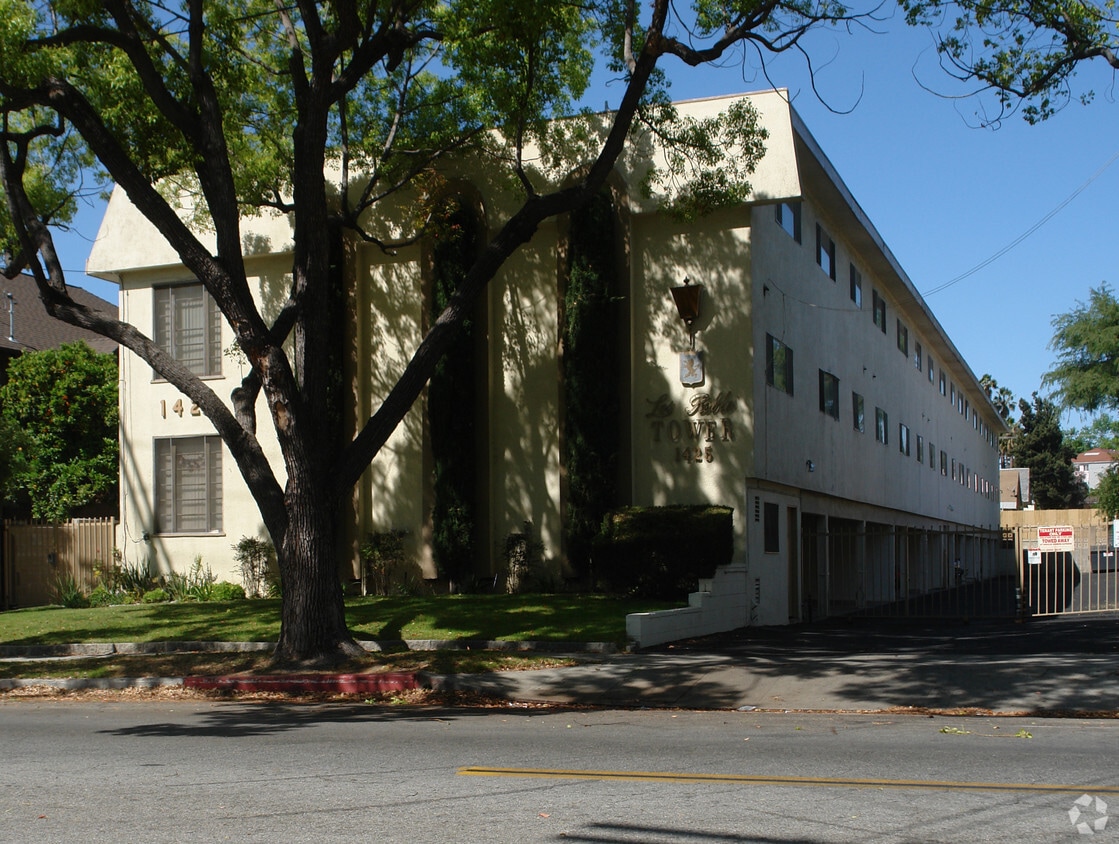
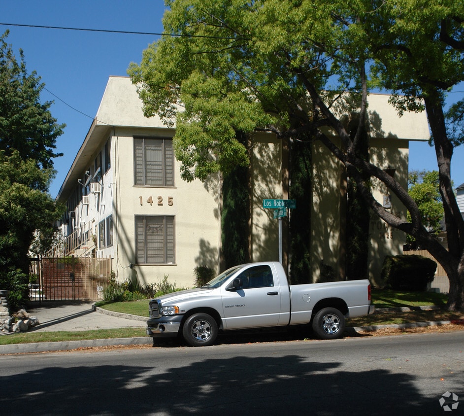
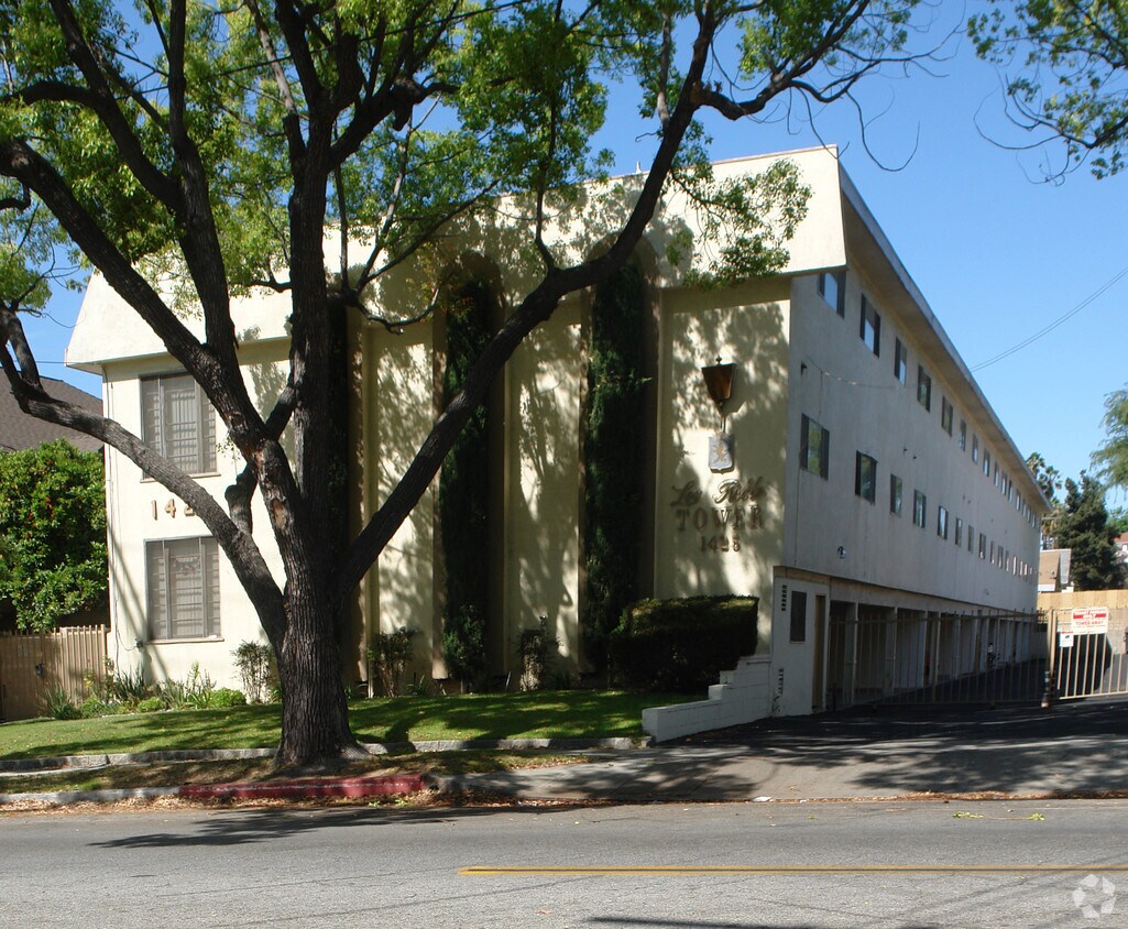

At 1425 Los Robles Ave in Pasadena, find a great place to live. This community is located at 1425 Los Robles Ave in the 91104 area of Pasadena. Be sure to check out the apartment floorplan options. From amenities to availability, the team of leasing professionals is ready to help you find the perfect fit. Your new home awaits you at 1425 Los Robles Ave. Contact or drop by the leasing office to check the current floorplan availability today.
1425 Los Robles Ave is an apartment community located in Los Angeles County and the 91104 ZIP Code. This area is served by the Pasadena Unified attendance zone.
Nestled in the foothills of the San Gabriel Mountains, the city of Pasadena sits about ten miles northeast of Downtown Los Angeles. Known as the City of Roses, Pasadena hosts the annual Rose Parade, where a variety of floats covered in flowers file through the streets. And to add to the rose theme, Pasadena is also home to Rose Bowl Stadium, which hosts a yearly championship college football game in addition to a monthly flea market.
As a resident of Pasadena, you’ll live near the California Institute of Technology and where Albert Einstein lived while he taught at the university. You can tour NASA’s Jet Propulsion Laboratory, view the vast collection of art at the Norton Simon Museum, and enjoy the festivities at the whimsical Doo Dah Parade. Historic sites are a major attraction in Pasadena.
Learn more about living in Pasadena| Colleges & Universities | Distance | ||
|---|---|---|---|
| Colleges & Universities | Distance | ||
| Drive: | 4 min | 1.7 mi | |
| Drive: | 7 min | 3.2 mi | |
| Drive: | 8 min | 3.4 mi | |
| Drive: | 10 min | 3.6 mi |


Transportation options available in Pasadena include Memorial Park Station, located 2.0 miles from 1425 Los Robles Ave. 1425 Los Robles Ave is near Bob Hope, located 18.0 miles or 25 minutes away, and Los Angeles International, located 26.8 miles or 43 minutes away.
| Transit / Subway | Distance | ||
|---|---|---|---|
| Transit / Subway | Distance | ||
|
|
Drive: | 5 min | 2.0 mi |
|
|
Drive: | 6 min | 2.4 mi |
|
|
Drive: | 5 min | 2.5 mi |
|
|
Drive: | 5 min | 2.9 mi |
|
|
Drive: | 7 min | 3.2 mi |
| Commuter Rail | Distance | ||
|---|---|---|---|
| Commuter Rail | Distance | ||
|
|
Drive: | 15 min | 10.5 mi |
|
|
Drive: | 20 min | 11.7 mi |
|
|
Drive: | 22 min | 11.8 mi |
|
|
Drive: | 22 min | 11.9 mi |
| Drive: | 24 min | 15.8 mi |
| Airports | Distance | ||
|---|---|---|---|
| Airports | Distance | ||
|
Bob Hope
|
Drive: | 25 min | 18.0 mi |
|
Los Angeles International
|
Drive: | 43 min | 26.8 mi |
Time and distance from 1425 Los Robles Ave.
| Shopping Centers | Distance | ||
|---|---|---|---|
| Shopping Centers | Distance | ||
| Walk: | 9 min | 0.5 mi | |
| Walk: | 13 min | 0.7 mi | |
| Walk: | 17 min | 0.9 mi |
| Parks and Recreation | Distance | ||
|---|---|---|---|
| Parks and Recreation | Distance | ||
|
Kidspace Children's Museum
|
Drive: | 6 min | 2.5 mi |
|
Jet Propulsion Laboratory
|
Drive: | 5 min | 2.7 mi |
|
Eaton Canyon Nature Center
|
Drive: | 7 min | 3.4 mi |
|
Huntington Botanical Gardens
|
Drive: | 11 min | 4.5 mi |
|
Descanso Gardens
|
Drive: | 11 min | 6.1 mi |
| Hospitals | Distance | ||
|---|---|---|---|
| Hospitals | Distance | ||
| Drive: | 6 min | 3.0 mi | |
| Drive: | 9 min | 4.9 mi | |
| Drive: | 10 min | 6.1 mi |
| Military Bases | Distance | ||
|---|---|---|---|
| Military Bases | Distance | ||
| Drive: | 40 min | 28.4 mi | |
| Drive: | 49 min | 31.6 mi |
What Are Walk Score®, Transit Score®, and Bike Score® Ratings?
Walk Score® measures the walkability of any address. Transit Score® measures access to public transit. Bike Score® measures the bikeability of any address.
What is a Sound Score Rating?
A Sound Score Rating aggregates noise caused by vehicle traffic, airplane traffic and local sources


 - Violet on Virgil")


 - AVA Burbank")


