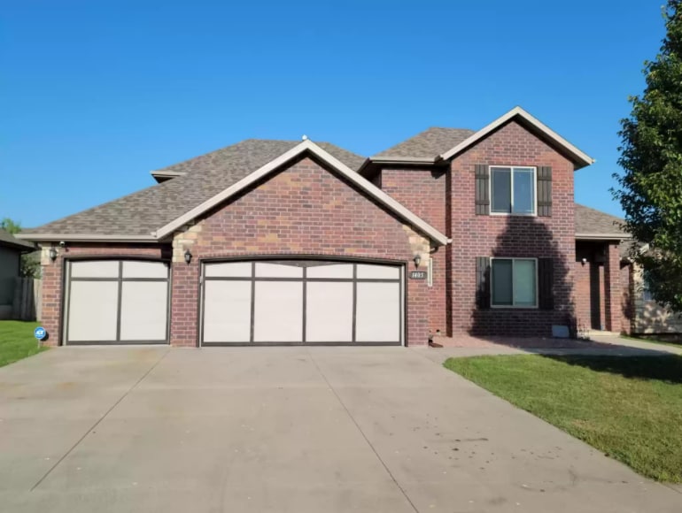
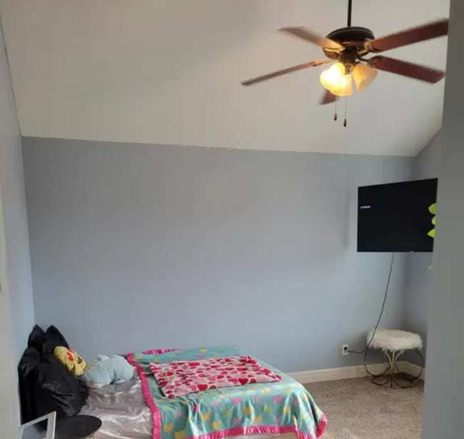
$2,200 Total Monthly Price

1405 S Blockade Rd

,

Republic, MO 65738

Share Listing
Favorites
1405 S Blockade Rd
Share Listing
Favorites

Check Back Soon for Upcoming Availability

Beds Baths Average SF
4 Bedrooms 4 Bedrooms 4 Br 2.5 Baths 2.5 Baths 2.5 Ba 2,476 SF

Fees and Policies

The fees listed below are community-provided and may exclude utilities or add-ons. All payments are made directly to the property and are non-refundable unless otherwise specified.

  • Dogs Allowed
  • Fees not specified
  • Cats Allowed
  • Fees not specified

About This Property

Beautiful 2400 sq ft 4 bedroom 2.5 Bath. Home offers a split floor plan, Garden tub in the master on suite, His and her sinks, 2 living rooms, dinning room, granite counter tops. This home has fresh new paint, New carpet and flooring, and some exterior touch ups. Brand new roof replaced within the last six months. This home has so much to offer!

1405 S Blockade Rd is a house located in Greene County and the 65738 ZIP Code.

House Features

Air Conditioning

Dishwasher

Washer/Dryer Hookup

Loft Layout

  • Washer/Dryer Hookup
  • Air Conditioning
  • Smoke Free
  • Dishwasher
  • Granite Countertops
  • Carpet
  • Loft Layout
Location
1405 S Blockade Rd, Republic,
MO 65738
Get Directions
| Edit

Under 30 minutes

Commute Time is calculated at rush hour.
Amenities
  • Washer/Dryer Hookup
  • Air Conditioning
  • Smoke Free
  • Dishwasher
  • Granite Countertops
  • Carpet
  • Loft Layout
Education
Colleges & Universities Distance
Drive: 28 min 15.5 mi
Drive: 29 min 16.3 mi
Drive: 31 min 16.9 mi
Drive: 33 min 17.8 mi
1405 S Blockade Rd is within 28 minutes or 15.5 miles from Missouri State University. It is also near Drury University and Ozarks Tech. C.C., Springfield.
Transportation

1405 S Blockade Rd is near Springfield-Branson Ntl, located 17.4 miles or 35 minutes away.

Airports Distance
Airports Distance
Springfield-Branson Ntl
Drive: 35 min 17.4 mi

Walkability Near 1405 S Blockade Rd Republic, MO 65738

Getting Around
Not Walkable
Walkability
10 / 100
Exceptionally Drivable
Drivability
90 / 100
Somewhat Bikeable
Bikeability
30 / 100

Scores provided by

What do Walkability, Transit, Drivability, and Bikeability mean? Walkability measures the walking distance to day-to-day needs. Transit measures access to public transportation. Drivability measures congestion, parking availability, and access to major roads. Bikeability measures the suitability for cycling. How It Works
-
Soundscore
- / 100

Traffic

-

Airport

-

Businesses

-

Scores provided by

HowLoud What is a Sound Score Rating? A Sound Score Rating aggregates noise caused by vehicle traffic, airplane traffic and local sources. How It Works
Points of Interest

Time and distance from 1405 S Blockade Rd.

Shopping Centers Distance
Drive: 6 min 2.5 mi
Drive: 7 min 2.8 mi
1405 S Blockade Rd has 2 shopping centers within 2.8 miles, which is about a 7-minute drive. The miles and minutes will be for the farthest away property.
Parks and Recreation Distance
Wilson's Creek National Battlefield
Drive: 9 min 4.3 mi
Rutledge-Wilson Farm Park
Drive: 19 min 11.1 mi
Springfield-Greene County Botanical Center
Drive: 21 min 12.3 mi
1405 S Blockade Rd has 3 parks within 12.3 miles, including Wilson's Creek National Battlefield, Rutledge-Wilson Farm Park, and Springfield-Greene County Botanical Center.

You May Also Like

Similar Rentals Nearby