-
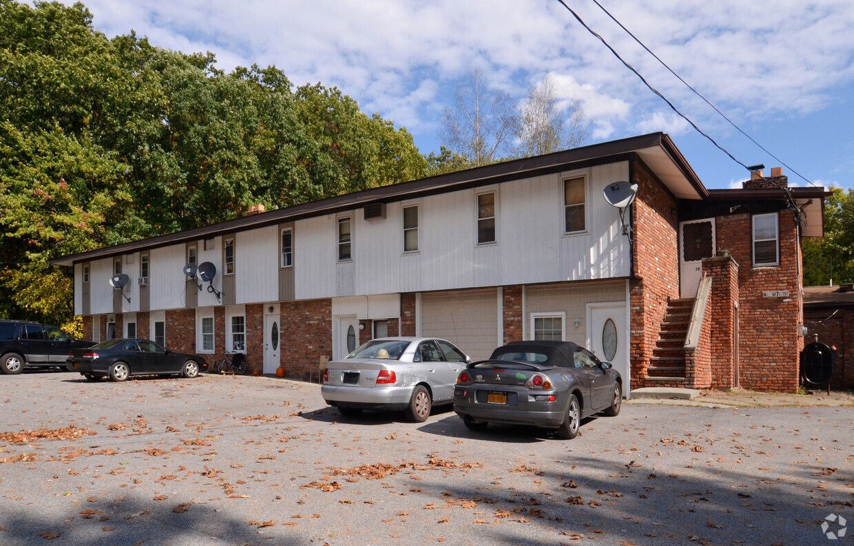
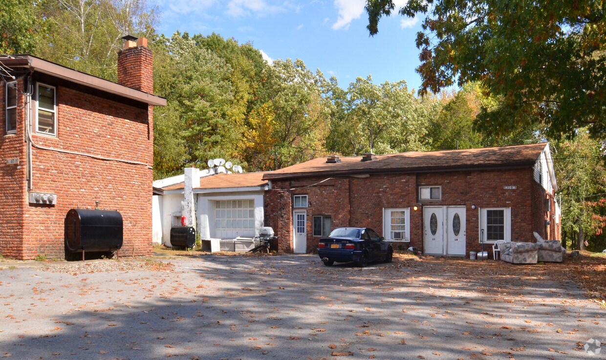
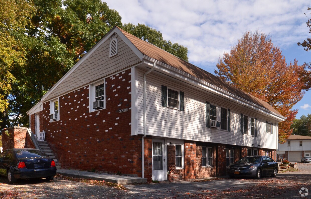
136 Stringham Rd

-
136 Stringham Rd
-
136 Stringham Rd
136 Stringham Rd
136 Stringham Rd,
Lagrangeville,
NY
12540
2 Weeks Ago
Favorites
136 Stringham Rd

Favorites
About 136 Stringham Rd Lagrangeville, NY 12540
Find your new home at 136 Stringham Rd in Lagrangeville. The location of this community is on Stringham Rd. in the 12540 area of Lagrangeville. Here at this community, the professional leasing staff is ready to help you find the perfect place. Be sure to see the current floorplan options. Stop by to schedule a tour.
136 Stringham Rd is an apartment community located in Dutchess County and the 12540 ZIP Code. This area is served by the Arlington Central School District attendance zone.
Apartment Features
- Heating
- Dishwasher
- Kitchen
136 Stringham Rd,
Lagrangeville,
NY
12540
Education
| Colleges & Universities | Distance | ||
|---|---|---|---|
| Colleges & Universities | Distance | ||
| Drive: | 13 min | 7.4 mi | |
| Drive: | 16 min | 9.5 mi | |
| Drive: | 18 min | 9.6 mi | |
| Drive: | 20 min | 11.5 mi |
136 Stringham Rd is within 13 minutes or 7.4 miles from Vassar. It is also near SUNY Dutchess and Marist College.
Schools


Public Elementary School
Grades PK-5
394 Students
Nearby
Public Elementary School
Grades K-5
348 Students
Nearby
Public Middle School
Grades 6-8
817 Students
Nearby
Public High School
Grades 9-12
2,472 Students
Attendance Zone
Private Elementary, Middle & High School
Grades PK-12
248 Students
Nearby
Private Elementary & Middle School
Grades K-8
314 Students
Nearby
Private Elementary School
Grades PK-5
52 Students
Nearby
School data provided by
 The GreatSchools Rating helps parents compare schools within a state based on a variety of school quality indicators and provides a helpful picture of how effectively each school serves all of its students. Ratings are on a scale of 1 (below average) to 10 (above average) and can include test scores, college readiness, academic progress, advanced courses, equity, discipline and attendance data. We also advise parents to visit schools, consider other information on school performance and programs, and consider family needs as part of the school selection process.
View GreatSchools Rating Methodology
Data provided by GreatSchools.org © 2026. All rights reserved.
View GreatSchools Rating Methodology
Data provided by GreatSchools.org © 2026. All rights reserved.
Walkability Near 136 Stringham Rd Lagrangeville, NY 12540
Getting Around
 What do Walkability, Transit, Drivability, and Bikeability mean?
Walkability measures the walking distance to day-to-day needs.
Transit measures access to public transportation.
Drivability measures congestion, parking availability, and access to major roads.
Bikeability measures the suitability for cycling.
How It Works
What do Walkability, Transit, Drivability, and Bikeability mean?
Walkability measures the walking distance to day-to-day needs.
Transit measures access to public transportation.
Drivability measures congestion, parking availability, and access to major roads.
Bikeability measures the suitability for cycling.
How It Works
Fairly Walkable
Walkability
40
/ 100
Limited Public Transit
Transit
30
/ 100
Exceptionally Drivable
Drivability
100
/ 100
Fairly Bikeable
Bikeability
50
/ 100
Scores provided by
-
Soundscore™
-
/ 100
Traffic
-Airport
-Businesses
-Scores provided by
HowLoud What is a Sound Score Rating? A Sound Score Rating aggregates noise caused by vehicle traffic, airplane traffic and local sources. How It WorksExplore Similar Rentals Nearby
-
-
1 Bed$2,329+2 Beds$2,787+Total Monthly PriceTotal Monthly Price NewPrices include required monthly fees of $130.Base Rent:1 Bed$2,199+2 Beds$2,657+2 Months Free
Pets Allowed Fitness Center Dishwasher Refrigerator Kitchen In Unit Washer & Dryer
-
1 Bed$2,445+2 Beds$2,880+Total Monthly Price18 Month LeaseTotal Monthly Price NewPrices include required monthly fees of $200.Base Rent:1 Bed$2,245+2 Beds$2,680+
Pets Allowed Fitness Center Pool High-Speed Internet Controlled Access Elevator Smoke Free
-
1 Bed$2,254+2 Beds$3,083+Total Monthly PriceTotal Monthly Price NewPrices include base rent and required monthly fees of $25. Variable costs based on usage may apply.Base Rent:1 Bed$2,229+2 Beds$3,058+1 Month Free
Pets Allowed Fitness Center Dishwasher Refrigerator Kitchen In Unit Washer & Dryer
-
1 Bed$1,875Total Monthly PriceTotal Monthly Price NewPrices include all required monthly fees.Specials
-
-
-
1 Bed$2,150+2 Beds$2,620+Total Monthly Price12 Month LeaseTotal Monthly Price NewPrices include all required monthly fees.
-
-


What Are Walk Score®, Transit Score®, and Bike Score® Ratings?
Walk Score® measures the walkability of any address. Transit Score® measures access to public transit. Bike Score® measures the bikeability of any address.
What is a Sound Score Rating?
A Sound Score Rating aggregates noise caused by vehicle traffic, airplane traffic and local sources.
136 Stringham Rd
Lagrangeville, NY 12540