
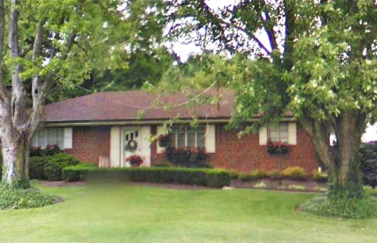
1342 Spring Lawn Ave
Cincinnati, OH 45223
-
Bedrooms
2
-
Bathrooms
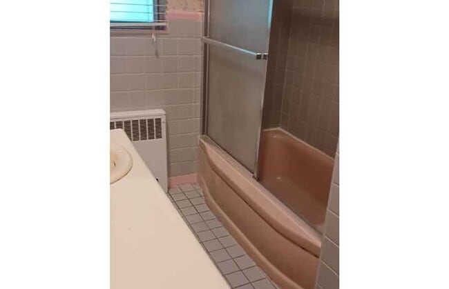
1
-
Square Feet
1,107 sq ft
-
Available
Available Now

About This Home
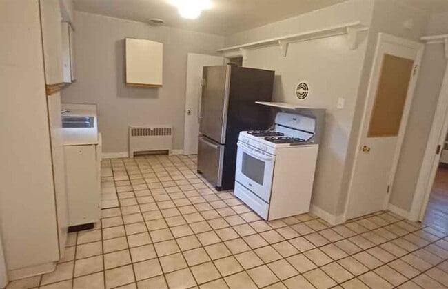
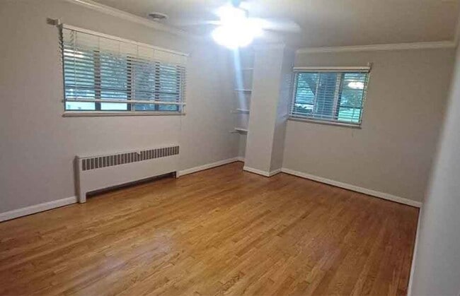
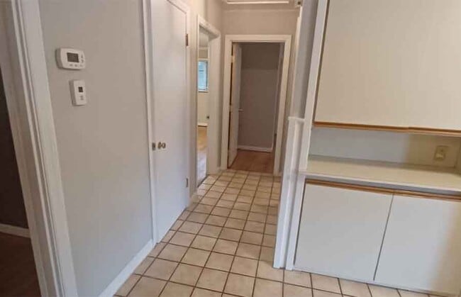
House for Rent in Spring Grove Village – Near Northside, Highways, Dining, and Farmers Market This well-located home in Spring Grove Village, Cincinnati, offers a comfortable residential setting with easy access to major highways and nearby bus stops for simple commuting throughout the city. Inside, you'll find features such as Air Conditioner, Balcony/Patio, Carpet, Dishwasher, with more amenities designed for your comfort.
1342 Spring Lawn Ave is a house located in Hamilton County and the 45223 ZIP Code.
Fees and Policies
The fees listed below are community-provided and may exclude utilities or add-ons. All payments are made directly to the property and are non-refundable unless otherwise specified. Use the Cost Calculator to determine costs based on your needs.
-
One-Time Basics
-
Due at Move-In
-
Security Deposit - RefundableCharged per unit.$1,895
-
-
Due at Move-In
Property Fee Disclaimer: Based on community-supplied data and independent market research. Subject to change without notice. May exclude fees for mandatory or optional services and usage-based utilities.
House Features
- Dishwasher
Contact
- Phone Number
- Website View Property Website
- Contact
-
Source

Located about seven miles north of Downtown Cincinnati, Winton Place is a primarily residential neighborhood with a rich history. Winton Place, also known as Spring Grove Village, is home to the nationally recognized Spring Grove Cemetery and Arboretum, which offers guided tours and hosts a variety of events throughout the year.
Winton Place is convenient to numerous Cincinnati area attractions, including the American Sign Museum, Mount Storm Park, and the Cincinnati Zoo and Botanical Garden. Quick access to I-75 and I-74 makes getting around from Winton Place simple.
Learn more about living in Winton Place- Dishwasher
| Colleges & Universities | Distance | ||
|---|---|---|---|
| Colleges & Universities | Distance | ||
| Drive: | 10 min | 3.0 mi | |
| Drive: | 12 min | 4.6 mi | |
| Drive: | 13 min | 4.7 mi | |
| Drive: | 14 min | 5.0 mi |
View GreatSchools Rating Methodology
Data provided by GreatSchools.org © 2026. All rights reserved.
Transportation options available in Cincinnati include Brewery District Station - Elm & Henry, located 6.2 miles from 1342 Spring Lawn Ave. 1342 Spring Lawn Ave is near Cincinnati/Northern Kentucky International, located 20.2 miles or 38 minutes away.
| Transit / Subway | Distance | ||
|---|---|---|---|
| Transit / Subway | Distance | ||
| Drive: | 14 min | 6.2 mi | |
| Drive: | 15 min | 6.3 mi | |
| Drive: | 15 min | 6.4 mi | |
| Drive: | 15 min | 6.4 mi | |
| Drive: | 15 min | 6.5 mi |
| Commuter Rail | Distance | ||
|---|---|---|---|
| Commuter Rail | Distance | ||
|
|
Drive: | 14 min | 6.2 mi |
| Airports | Distance | ||
|---|---|---|---|
| Airports | Distance | ||
|
Cincinnati/Northern Kentucky International
|
Drive: | 38 min | 20.2 mi |
Scores provided by
Traffic
CalmAirport
CalmBusinesses
CalmScores provided by
HowLoud What is a Sound Score Rating? A Sound Score Rating aggregates noise caused by vehicle traffic, airplane traffic and local sources. How It WorksTime and distance from 1342 Spring Lawn Ave.
| Shopping Centers | Distance | ||
|---|---|---|---|
| Shopping Centers | Distance | ||
| Drive: | 7 min | 2.3 mi | |
| Drive: | 9 min | 3.2 mi | |
| Drive: | 10 min | 3.4 mi |
| Parks and Recreation | Distance | ||
|---|---|---|---|
| Parks and Recreation | Distance | ||
|
Buttercup Valley
|
Walk: | 14 min | 0.7 mi |
|
LaBoiteaux Woods
|
Drive: | 6 min | 1.9 mi |
|
Burnet Woods
|
Drive: | 11 min | 3.7 mi |
|
Mt. Airy Forest
|
Drive: | 10 min | 3.8 mi |
|
Cincinnati Zoo and Botanical Garden
|
Drive: | 11 min | 4.0 mi |
| Hospitals | Distance | ||
|---|---|---|---|
| Hospitals | Distance | ||
| Drive: | 10 min | 3.8 mi | |
| Drive: | 12 min | 4.4 mi | |
| Drive: | 14 min | 4.8 mi |
| Military Bases | Distance | ||
|---|---|---|---|
| Military Bases | Distance | ||
| Drive: | 70 min | 51.4 mi | |
| Drive: | 76 min | 56.5 mi | |
| Drive: | 78 min | 59.8 mi |
You May Also Like
What Are Walk Score®, Transit Score®, and Bike Score® Ratings?
Walk Score® measures the walkability of any address. Transit Score® measures access to public transit. Bike Score® measures the bikeability of any address.
What is a Sound Score Rating?
A Sound Score Rating aggregates noise caused by vehicle traffic, airplane traffic and local sources.
1342 Spring Lawn Ave
Cincinnati, OH 45223