$2,850
/ Month
13404 Cain Ln
Louisville, KY 40245
Favorites
502-457-8940
-
Bedrooms
4
-
Bathrooms
2.5
-
Square Feet
2,165 sq ft
-
Available
Available Sep 14
Highlights
- Traditional Architecture
- 2 Car Attached Garage
- Central Air
- Heating System Uses Natural Gas
13404 Cain Ln

Favorites
About This Home
Available Sep 14
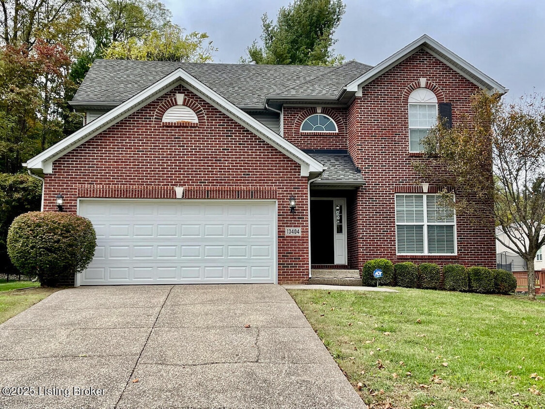
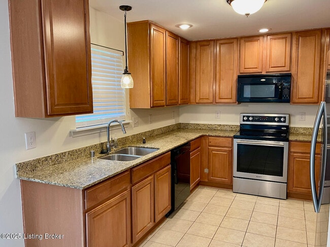
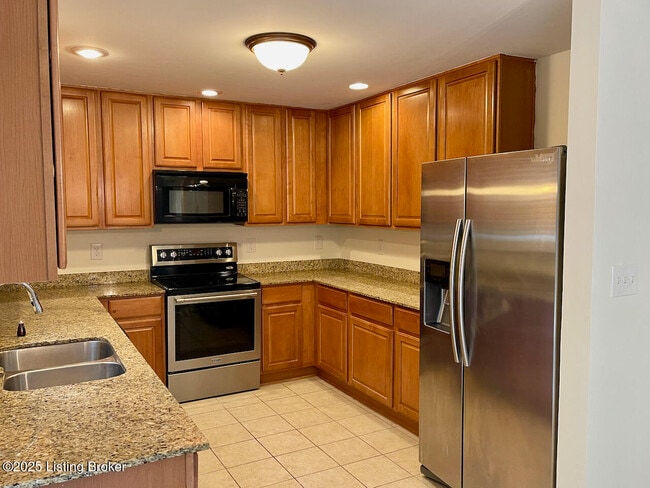
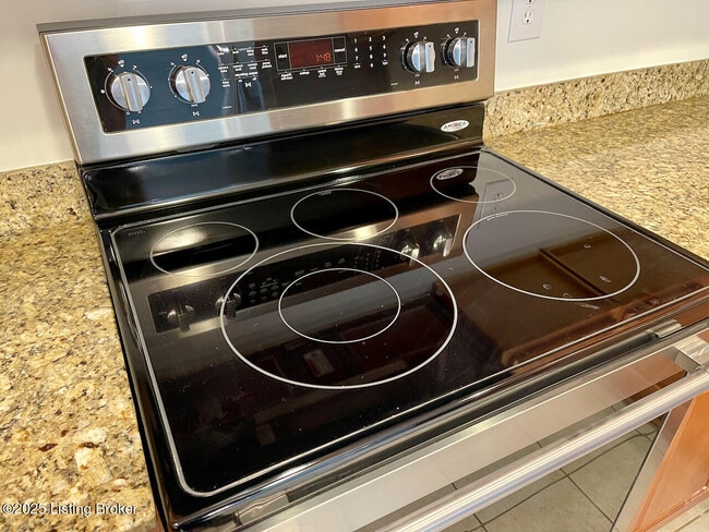
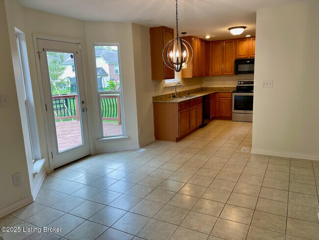
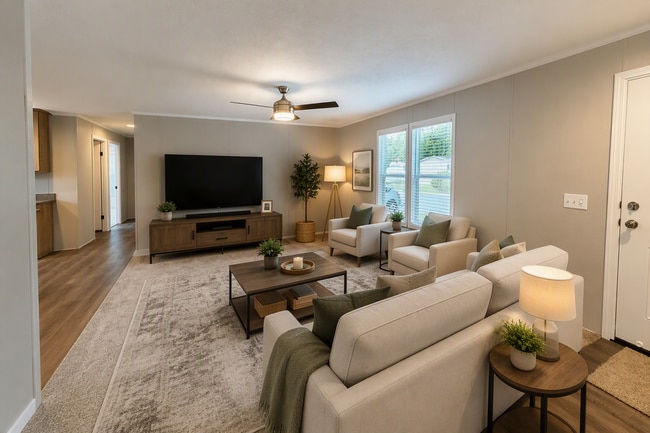
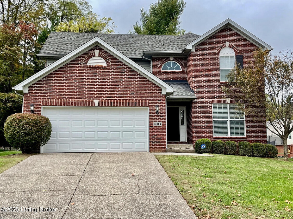
Looking for the perfect rental in a great area? This spacious 4-bedroom,2.5 bath home is minutes from the Gene Snyder Freeway,shopping,and dining. Enjoy plenty of living space,including a spacious basement. Great landlords are looking for excellent tenants to enjoy their home!
13404 Cain Ln is a house located in Jefferson County and the 40245 ZIP Code. This area is served by the Jefferson County attendance zone.
* Price shown is base rent. Excludes user-selected optional fees and variable or usage-based fees and required charges due at or prior to move-in or at move-out. Price, availability, fees, and any applicable rent special are subject to change without notice.
* Square footage definitions vary. Displayed square footage is approximate.
Home Details
Home Type
Single Family Detached Home
Year Built
Built in 2007
Bedrooms and Bathrooms
2.5 Bathrooms
4 Bedrooms
Home Design
Traditional Architecture
Shingle Roof
Brick Exterior Construction
Vinyl Siding
Poured Concrete
Interior Spaces
2,165 Sq Ft Home
2-Story Property
Listing and Financial Details
Assessor Parcel Number 21383500390000
Tenant pays for sewer, cable TV, electricity, gas, trash removal, water
Parking
2 Car Attached Garage
Driveway
Utilities
Central Air
Heating System Uses Natural Gas
Community Details
Overview
No Home Owners Association
Woodlands Creek Subdivision
Contact
- Listed by Jomiya Coleman | Semonin REALTORS
- Phone Number
- Contact
-
Source
 Metro Search, Inc.
The data relating to real estate for sale on this web site comes in part from the Internet Data Exchange Program of Metro Search, Inc. Real estate listings held by brokerage firms other Apartments.com are marked with the Internet Data Exchange logo or the Internet Data Exchange thumbnail logo and detailed information about each listing includes the name of the listing broker.
Copyright 2026 Metro Search, Inc.
Location
Get Directions
Three small, upper-middle-class neighborhoods, Middletown, Woodland Hills and Douglass Hills, and Anchorage, an upper-class community, make up the Outer East End of Louisville. Each community features a mixture of newer, more elaborate homes that mingle nicely with some of the historic architecture in the area. However, the homes in Anchorage remain the most elaborate in the area. Wide-open, undeveloped areas provide residents with beautiful scenic views, and nearby access to U.S. Route 60 and interstates 64 and 265 make the 18-mile commute into downtown Louisville simple.
Learn more about living in East End
Education
| Colleges & Universities | Distance | ||
|---|---|---|---|
| Colleges & Universities | Distance | ||
| Drive: | 13 min | 6.6 mi | |
| Drive: | 22 min | 12.2 mi | |
| Drive: | 22 min | 13.4 mi | |
| Drive: | 26 min | 16.1 mi |
13404 Cain Ln is within 13 minutes or 6.6 miles from University of Louisville. It is also near Southern Baptist Seminary and Sullivan University.
Schools


Public Elementary School
Grades K-5
739 Students
Attendance Zone
Public Elementary School
Grades PK-5
498 Students
Nearby
Public Middle School
Grades 6-8
806 Students
Attendance Zone
Public High School
Grades 9-12
1,720 Students
Attendance Zone
Private Elementary & Middle School
Grades PK-8
483 Students
Nearby
Private Elementary, Middle & High School
Grades K-12
Nearby
School data provided by
 The GreatSchools Rating helps parents compare schools within a state based on a variety of school quality indicators and provides a helpful picture of how effectively each school serves all of its students. Ratings are on a scale of 1 (below average) to 10 (above average) and can include test scores, college readiness, academic progress, advanced courses, equity, discipline and attendance data. We also advise parents to visit schools, consider other information on school performance and programs, and consider family needs as part of the school selection process.
View GreatSchools Rating Methodology
Data provided by GreatSchools.org © 2026. All rights reserved.
The GreatSchools Rating helps parents compare schools within a state based on a variety of school quality indicators and provides a helpful picture of how effectively each school serves all of its students. Ratings are on a scale of 1 (below average) to 10 (above average) and can include test scores, college readiness, academic progress, advanced courses, equity, discipline and attendance data. We also advise parents to visit schools, consider other information on school performance and programs, and consider family needs as part of the school selection process.
View GreatSchools Rating Methodology
Data provided by GreatSchools.org © 2026. All rights reserved.
Getting Around
 What do Walkability, Transit, Drivability, and Bikeability mean?
Walkability measures the walking distance to day-to-day needs.
Transit measures access to public transportation.
Drivability measures congestion, parking availability, and access to major roads.
Bikeability measures the suitability for cycling.
How It Works
What do Walkability, Transit, Drivability, and Bikeability mean?
Walkability measures the walking distance to day-to-day needs.
Transit measures access to public transportation.
Drivability measures congestion, parking availability, and access to major roads.
Bikeability measures the suitability for cycling.
How It Works
Somewhat Walkable
Walkability
30
/ 100
Minimal Public Transit
Transit
0
/ 100
Very Drivable
Drivability
80
/ 100
Somewhat Bikeable
Bikeability
20
/ 100
Scores provided by
What do Walkability, Transit, Drivability, and Bikeability mean?
Walkability measures the walking distance to day-to-day needs.
Transit measures access to public transportation.
Drivability measures congestion, parking availability, and access to major roads.
Bikeability measures the suitability for cycling.
How It Works
-
Soundscore™
-
/ 100
Traffic
-Airport
-Businesses
-Scores provided by
HowLoud What is a Sound Score Rating? A Sound Score Rating aggregates noise caused by vehicle traffic, airplane traffic and local sources. How It WorksYou May Also Like
Similar Rentals Nearby

13404 Cain Ln
Louisville, KY 40245