
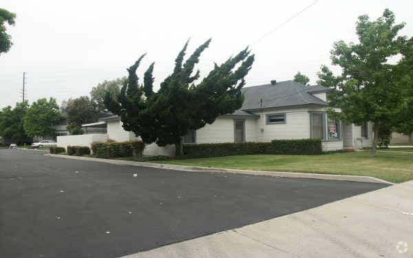
Cloud House
12435 Beach Blvd,
Stanton, CA 90680
$2,251 - $3,926 Total Monthly Price
Studio - 2 Beds
13381-13411 Edwards St offers a blend of comfort and livability. This community can be found in the 92683 area of Westminster. Come for a visit to check out the apartment floorplan options. The professional leasing team is ready for you to come by to check us out. Contact us or drop by the leasing office to talk about leasing your next apartment and find your new place at 13381-13411 Edwards St.
13381-13411 Edwards St is an apartment community located in Orange County and the 92683 ZIP Code. This area is served by the Westminster Elementary School District attendance zone.
High Speed Internet Access
Smoke Free
Heating
Range
Located just a few miles from the shore of the Pacific Ocean, Westminster is nearby popular coastal cities such as Seal Beach and Huntington Beach. With access to interstate highways, residents can easily travel to and from neighboring cities.
Westminster, California offers multiple public school districts, as well as community parks with playgrounds, athletic fields, and more. Enjoy various cuisines and cultures throughout the city, and be sure to eat local while you’re there. Try The Loop for delicious handcrafted churros in a trendy space.
Accomplish all of your retail shopping at Westminster Mall and the nearby Edinger Plaza Shopping Center and Bell Terra. Westminster has lovely attractions and amenities of its own, but residents flock to this area for its proximity to beautiful California beaches and famous tourist attractions such as Disneyland, located just eight miles northeast of Westminster in Anaheim.
Learn more about living in WestminsterCompare neighborhood and city base rent averages by bedroom.
| Central OC West of I-5 | Westminster, CA | |
|---|---|---|
| Studio | - | $1,770 |
| 1 Bedroom | $1,684 | $2,173 |
| 2 Bedrooms | $2,198 | $2,572 |
| 3 Bedrooms | - | $2,969 |
| Colleges & Universities | Distance | ||
|---|---|---|---|
| Colleges & Universities | Distance | ||
| Drive: | 7 min | 3.0 mi | |
| Drive: | 11 min | 5.6 mi | |
| Drive: | 11 min | 7.2 mi | |
| Drive: | 14 min | 9.0 mi |


Transportation options available in Westminster include 5Th Street Station, located 11.1 miles from 13381-13411 Edwards St. 13381-13411 Edwards St is near Long Beach (Daugherty Field), located 11.7 miles or 16 minutes away, and John Wayne/Orange County, located 11.8 miles or 18 minutes away.
| Transit / Subway | Distance | ||
|---|---|---|---|
| Transit / Subway | Distance | ||
|
|
Drive: | 20 min | 11.1 mi |
|
|
Drive: | 21 min | 11.4 mi |
|
|
Drive: | 20 min | 11.6 mi |
| Commuter Rail | Distance | ||
|---|---|---|---|
| Commuter Rail | Distance | ||
|
|
Drive: | 17 min | 9.8 mi |
|
|
Drive: | 15 min | 10.7 mi |
|
|
Drive: | 17 min | 10.8 mi |
| Drive: | 17 min | 11.0 mi | |
|
|
Drive: | 22 min | 13.2 mi |
| Airports | Distance | ||
|---|---|---|---|
| Airports | Distance | ||
|
Long Beach (Daugherty Field)
|
Drive: | 16 min | 11.7 mi |
|
John Wayne/Orange County
|
Drive: | 18 min | 11.8 mi |
Scores provided by
Traffic
-Airport
-Businesses
-Scores provided by
HowLoud What is a Sound Score Rating? A Sound Score Rating aggregates noise caused by vehicle traffic, airplane traffic and local sources. How It WorksTime and distance from 13381-13411 Edwards St.
| Shopping Centers | Distance | ||
|---|---|---|---|
| Shopping Centers | Distance | ||
| Walk: | 13 min | 0.7 mi | |
| Walk: | 17 min | 0.9 mi | |
| Walk: | 18 min | 1.0 mi |
| Parks and Recreation | Distance | ||
|---|---|---|---|
| Parks and Recreation | Distance | ||
|
Shipley Nature Center
|
Drive: | 10 min | 5.1 mi |
|
Los Cerritos Wetlands Trust
|
Drive: | 12 min | 6.8 mi |
|
Sunset Harbour
|
Drive: | 13 min | 6.8 mi |
|
El Dorado East Regional Park
|
Drive: | 14 min | 8.1 mi |
|
El Dorado Nature Center
|
Drive: | 13 min | 8.6 mi |
| Hospitals | Distance | ||
|---|---|---|---|
| Hospitals | Distance | ||
| Drive: | 9 min | 5.4 mi | |
| Drive: | 11 min | 5.5 mi | |
| Drive: | 11 min | 6.3 mi |
| Military Bases | Distance | ||
|---|---|---|---|
| Military Bases | Distance | ||
| Drive: | 8 min | 3.8 mi |
What Are Walk Score®, Transit Score®, and Bike Score® Ratings?
Walk Score® measures the walkability of any address. Transit Score® measures access to public transit. Bike Score® measures the bikeability of any address.
What is a Sound Score Rating?
A Sound Score Rating aggregates noise caused by vehicle traffic, airplane traffic and local sources.


