$1,250
/ Month
133 State Rd
Kittery, ME 03904
Favorites
133 State Rd

Favorites
Check Back Soon for Upcoming Availability
| Beds | Baths | Average SF |
|---|---|---|
| 1 Bedroom 1 Bedroom 1 Br | 1 Bath 1 Bath 1 Ba | — |
Fees and Policies
The fees listed below are community-provided and may exclude utilities or add-ons. All payments are made directly to the property and are non-refundable unless otherwise specified.
- Dogs Allowed
-
Fees not specified
-
Weight limit--
-
Pet Limit--
About This Property
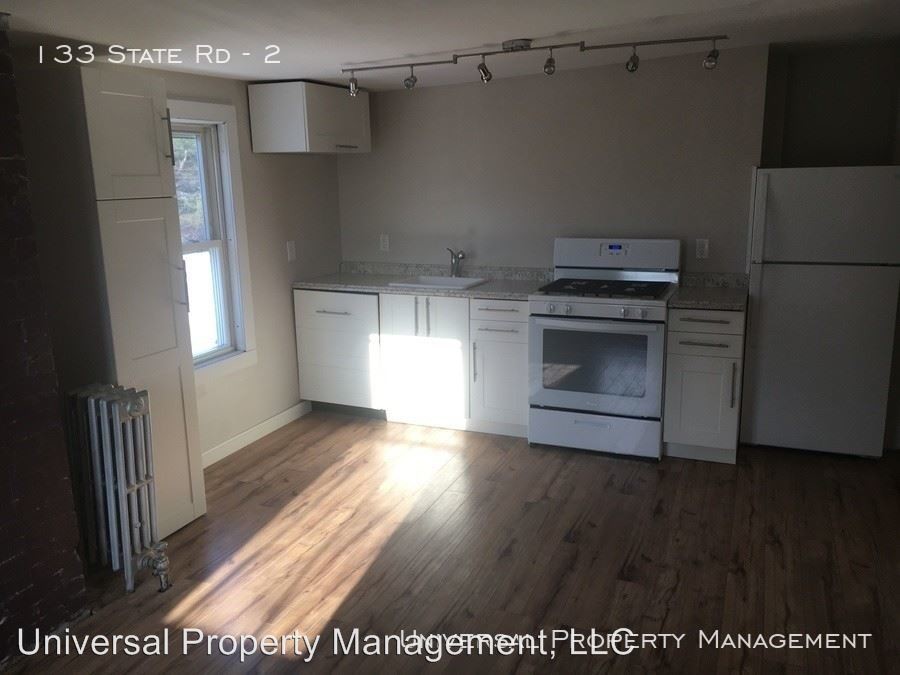
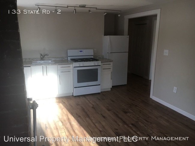
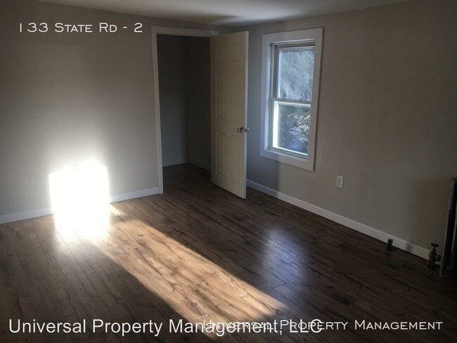
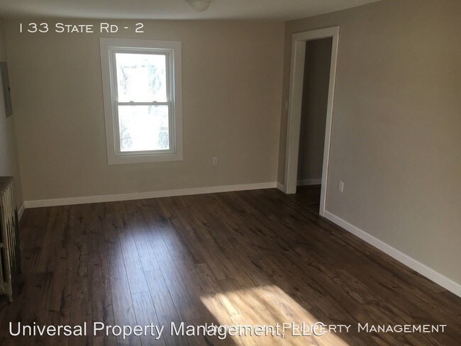
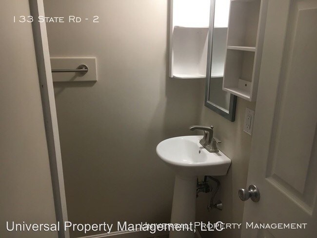
(603) 766-4876 - Large Studio w/ Heat Included - Large, updated studio for rent in Kittery. Located close to the Shipyard and commuting routes, this unit has low maintenance vinyl flooring, bright natural light, and a garage parking spot! Lots of space in the unit to make it your own. $1,250 per month, heat included. Pets negotiable. (RLNE4914891) Pet policies: Small Dogs Allowed, Cats Allowed.
133 State Rd is an apartment community located in York County and the 03904 ZIP Code.
133 State Rd,
Kittery,
ME
03904
Education
| Colleges & Universities | Distance | ||
|---|---|---|---|
| Colleges & Universities | Distance | ||
| Drive: | 28 min | 13.7 mi | |
| Drive: | 40 min | 30.3 mi | |
| Drive: | 48 min | 37.1 mi |
133 State Rd is within 28 minutes or 13.7 miles from University of New Hampshire. It is also near Northern Essex Comm. Coll. and University of New England.
Walkability Near 133 State Rd Kittery, ME 03904
Getting Around
 What do Walkability, Transit, Drivability, and Bikeability mean?
Walkability measures the walking distance to day-to-day needs.
Transit measures access to public transportation.
Drivability measures congestion, parking availability, and access to major roads.
Bikeability measures the suitability for cycling.
How It Works
What do Walkability, Transit, Drivability, and Bikeability mean?
Walkability measures the walking distance to day-to-day needs.
Transit measures access to public transportation.
Drivability measures congestion, parking availability, and access to major roads.
Bikeability measures the suitability for cycling.
How It Works
Fairly Walkable
Walkability
40
/ 100
Exceptionally Drivable
Drivability
100
/ 100
Somewhat Bikeable
Bikeability
30
/ 100
Scores provided by
Active
Soundscore™
73
/ 100
Traffic
ActiveAirport
CalmBusinesses
CalmScores provided by
HowLoud What is a Sound Score Rating? A Sound Score Rating aggregates noise caused by vehicle traffic, airplane traffic and local sources. How It WorksYou May Also Like
Similar Rentals Nearby


What Are Walk Score®, Transit Score®, and Bike Score® Ratings?
Walk Score® measures the walkability of any address. Transit Score® measures access to public transit. Bike Score® measures the bikeability of any address.
What is a Sound Score Rating?
A Sound Score Rating aggregates noise caused by vehicle traffic, airplane traffic and local sources.

133 State Rd
Kittery, ME 03904