
$400
/ Month
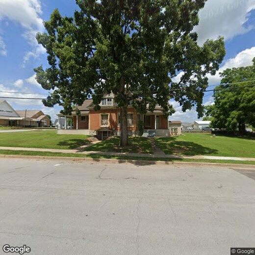
132 S Curry St Unit #2
West Plains, MO 65775
Favorites
132 S Curry St Unit #2

Favorites
Check Back Soon for Upcoming Availability
| Beds | Baths | Average SF |
|---|---|---|
| Studio Studio 0 Br | 1 Bath 1 Bath 1 Ba | — |
About This Property
Explore this great property in West Plains, MO. This property is located at 132 S Curry St in the 65775 area of West Plains. With this great space, you're right at home. Contact us to schedule a tour.
132 S Curry St is an apartment community located in Howell County and the 65775 ZIP Code.
132 S Curry St,
West Plains,
MO
65775
West Plains is a secluded suburb in southern Missouri, offering a college town vibe, safe residential streets, and family-friendly amenities. In the heart of the city lies Mississippi State University and various community parks like People’s Park and Galloway Park. The county fairgrounds offer seasonal, kid-friendly events for the community, while the West Plains Country Club is a local favorite for bonding with fellow residents and enjoy the well-kept greens.
West Plains offers a historic downtown district featuring various small, family-owned restaurants and retailers. From coffee shops and a brewery to pizzerias and seafood shops, this spacious suburb has it all. Highways 160 and 63 make commuting simple, and families appreciate the excellent public schools in the area, like West Plains Middle School, and the affordable apartments and houses for rent.
Learn more about living in West PlainsWalkability Near 132 S Curry St West Plains, MO 65775
Getting Around
 What do Walkability, Transit, Drivability, and Bikeability mean?
Walkability measures the walking distance to day-to-day needs.
Transit measures access to public transportation.
Drivability measures congestion, parking availability, and access to major roads.
Bikeability measures the suitability for cycling.
How It Works
What do Walkability, Transit, Drivability, and Bikeability mean?
Walkability measures the walking distance to day-to-day needs.
Transit measures access to public transportation.
Drivability measures congestion, parking availability, and access to major roads.
Bikeability measures the suitability for cycling.
How It Works
Fairly Walkable
Walkability
40
/ 100
Exceptionally Drivable
Drivability
100
/ 100
Fairly Bikeable
Bikeability
40
/ 100
Scores provided by
-
Soundscore™
-
/ 100
Traffic
-Airport
-Businesses
-Scores provided by
HowLoud What is a Sound Score Rating? A Sound Score Rating aggregates noise caused by vehicle traffic, airplane traffic and local sources. How It WorksYou May Also Like
Similar Rentals Nearby


What Are Walk Score®, Transit Score®, and Bike Score® Ratings?
Walk Score® measures the walkability of any address. Transit Score® measures access to public transit. Bike Score® measures the bikeability of any address.
What is a Sound Score Rating?
A Sound Score Rating aggregates noise caused by vehicle traffic, airplane traffic and local sources.
132 S Curry St
West Plains, MO 65775