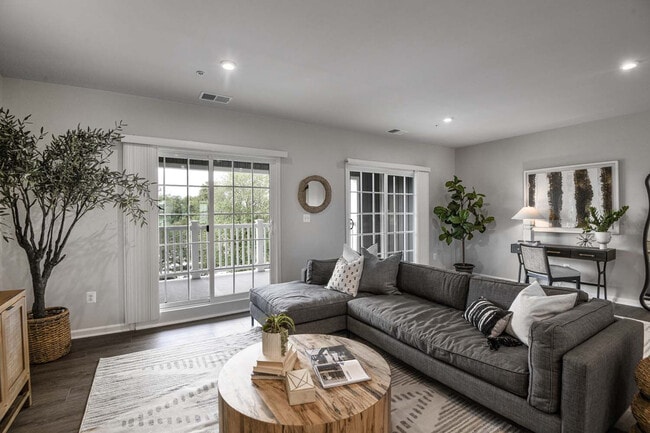
1318 Chapel Centre Dr
1318 Chapel Centre Dr
Gambrills, MD 21054

Check Back Soon for Upcoming Availability
| Beds | Baths | Average SF |
|---|---|---|
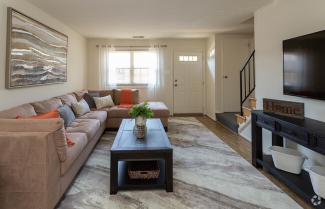
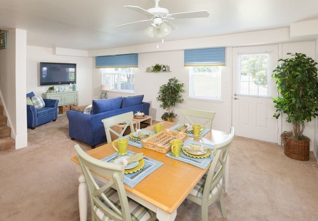
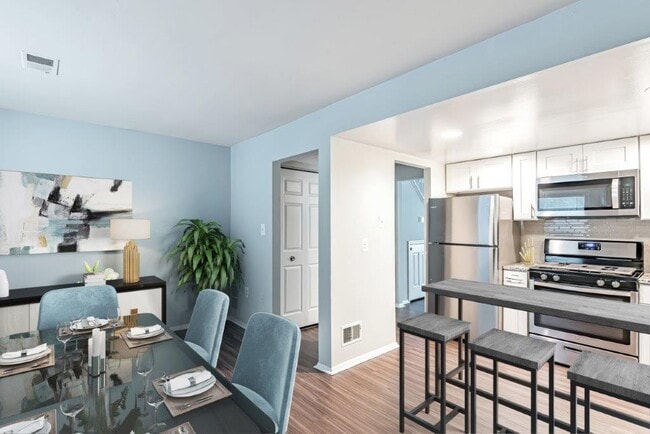
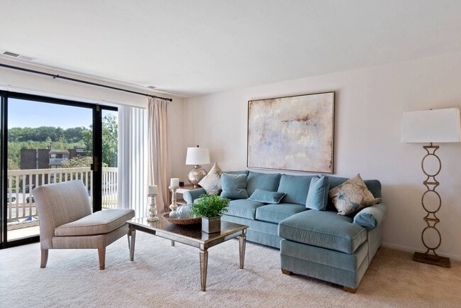
| 3 Bedrooms 3 Bedrooms 3 Br | 3.5 Baths 3.5 Baths 3.5 Ba | 2,350 SF |
Gambrills is a tranquil community nestled in Anne Arundel County. Vast expanses of green space characterize the largely residential area, offering locals a secluded feel. However, Gambrills is far from isolated—three prominent cities are within easy driving distance: Annapolis, Baltimore, and Washington, DC.
Gambrills is also convenient to exciting attractions such as Autobahn Indoor Speedway, Patuxent Research Refuge, and Six Flags America. Quick access to I-97 and Baltimore Washington International Thurgood Marshall Airport makes commuting and traveling from Gambrills a breeze.
Learn more about living in Gambrills| Colleges & Universities | Distance | ||
|---|---|---|---|
| Colleges & Universities | Distance | ||
| Drive: | 18 min | 8.6 mi | |
| Drive: | 23 min | 12.8 mi | |
| Drive: | 26 min | 15.9 mi | |
| Drive: | 26 min | 17.0 mi |
Transportation options available in Gambrills include Cromwell Station/Glen Burnie, located 12.2 miles from 1318 Chapel Centre Dr. 1318 Chapel Centre Dr is near Baltimore/Washington International Thurgood Marshall, located 15.9 miles or 25 minutes away, and Ronald Reagan Washington Ntl, located 29.0 miles or 43 minutes away.
| Transit / Subway | Distance | ||
|---|---|---|---|
| Transit / Subway | Distance | ||
|
|
Drive: | 17 min | 12.2 mi |
| Commuter Rail | Distance | ||
|---|---|---|---|
| Commuter Rail | Distance | ||
|
|
Drive: | 11 min | 5.2 mi |
|
Bowie State Marc Nb
|
Drive: | 18 min | 8.6 mi |
|
Bowie State Marc Sb
|
Drive: | 18 min | 10.0 mi |
|
|
Drive: | 24 min | 13.0 mi |
|
|
Drive: | 28 min | 13.8 mi |
| Airports | Distance | ||
|---|---|---|---|
| Airports | Distance | ||
|
Baltimore/Washington International Thurgood Marshall
|
Drive: | 25 min | 15.9 mi |
|
Ronald Reagan Washington Ntl
|
Drive: | 43 min | 29.0 mi |
Time and distance from 1318 Chapel Centre Dr.
| Shopping Centers | Distance | ||
|---|---|---|---|
| Shopping Centers | Distance | ||
| Walk: | 7 min | 0.4 mi | |
| Walk: | 9 min | 0.5 mi | |
| Walk: | 12 min | 0.6 mi |
| Parks and Recreation | Distance | ||
|---|---|---|---|
| Parks and Recreation | Distance | ||
|
Kinder Farm Park
|
Drive: | 18 min | 9.1 mi |
|
Patuxent Research Refuge - North Tract
|
Drive: | 23 min | 10.8 mi |
|
Howard Owens Science Center
|
Drive: | 22 min | 12.5 mi |
|
NASA Goddard Space Flight Center
|
Drive: | 25 min | 13.4 mi |
|
Patuxent Research Refuge - South Tract
|
Drive: | 28 min | 15.6 mi |
| Hospitals | Distance | ||
|---|---|---|---|
| Hospitals | Distance | ||
| Drive: | 16 min | 10.0 mi | |
| Drive: | 20 min | 13.3 mi |
| Military Bases | Distance | ||
|---|---|---|---|
| Military Bases | Distance | ||
| Drive: | 18 min | 8.4 mi |
You May Also Like
Similar Rentals Nearby
What Are Walk Score®, Transit Score®, and Bike Score® Ratings?
Walk Score® measures the walkability of any address. Transit Score® measures access to public transit. Bike Score® measures the bikeability of any address.
What is a Sound Score Rating?
A Sound Score Rating aggregates noise caused by vehicle traffic, airplane traffic and local sources

