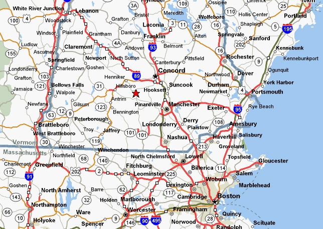
13 East Rd

13 East Rd, Weare, NH 03281

2 Weeks Ago
Share Listing
Favorites
13 East Rd
Share Listing
Favorites

About 13 East Rd Weare, NH 03281

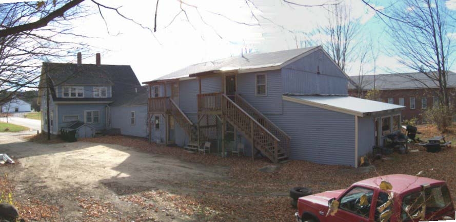
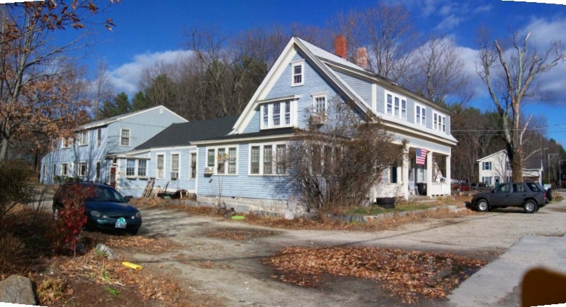
At 13 East Rd in Weare, NH, find your new home. The 03281 location is an ideal place for residents. Be sure to view the available floorplans. From amenities to floorplan options, the leasing team is ready to match you with your perfect fit. Contact us or drop by the leasing office to check the availability and set up a tour today and find your new place at 13 East Rd.

13 East Rd is an apartment community located in Hillsborough County and the 03281 ZIP Code. This area is served by the Weare School District attendance zone.

Location
13 East Rd, Weare,
NH 03281
Get Directions
Education
Colleges & Universities Distance
Drive: 13 min 8.3 mi
Drive: 31 min 16.4 mi
Drive: 35 min 17.8 mi
Drive: 43 min 20.9 mi
13 East Rd is within 13 minutes or 8.3 miles from New England College. It is also near Saint Anselm College and MCPHS University, Manchester.
Schools
Public Elementary School
Grades PK-5
373 Students
Attendance Zone
Public Elementary & Middle School
Grades K-8
524 Students
Attendance Zone
Public High School
Grades 9-12
610 Students
Attendance Zone
Private Elementary School
Grades PK-5
91 Students
Nearby
Private Middle School
Grades 6-8
Nearby
Private Middle & High School
Grades 6-12
10 Students
Nearby
Private Middle & High School
Grades 6-12
41 Students
Nearby
Transportation

13 East Rd is near Manchester Boston Regional, located 23.0 miles or 45 minutes away.

Airports Distance
Airports Distance
Manchester Boston Regional
Drive: 45 min 23.0 mi

Walkability Near 13 East Rd Weare, NH 03281

Getting Around
Somewhat Walkable
Walkability
20 / 100
Exceptionally Drivable
Drivability
90 / 100
Not Bikeable
Bikeability
10 / 100

Scores provided by

What do Walkability, Transit, Drivability, and Bikeability mean? Walkability measures the walking distance to day-to-day needs. Transit measures access to public transportation. Drivability measures congestion, parking availability, and access to major roads. Bikeability measures the suitability for cycling. How It Works
-
Soundscore
- / 100

Traffic

-

Airport

-

Businesses

-

Scores provided by

HowLoud What is a Sound Score Rating? A Sound Score Rating aggregates noise caused by vehicle traffic, airplane traffic and local sources.
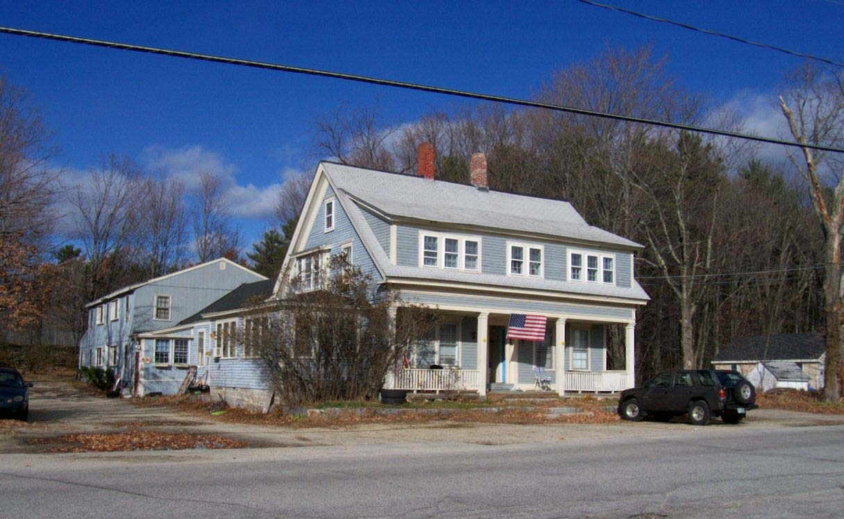
 How It Works
Points of Interest

Time and distance from 13 East Rd.

Shopping Centers Distance
Drive: 26 min 15.3 mi
Drive: 26 min 16.6 mi
13 East Rd has 2 shopping centers within 16.6 miles, which is about a 26-minute drive. The miles and minutes will be for the farthest away property.
Parks and Recreation Distance
Pats Peak
Drive: 11 min 6.8 mi
Deering Wildlife Sanctuary
Drive: 19 min 8.4 mi
Clough State Park
Drive: 21 min 8.7 mi
Susan N. McLane Audubon Center
Drive: 20 min 12.0 mi
13 East Rd has 4 parks within 12.0 miles, including Clough State Park, Pats Peak, and Deering Wildlife Sanctuary.
Military Bases Distance
Drive: 95 min 61.1 mi
Drive: 93 min 65.2 mi
Drive: 100 min 72.6 mi
13 East Rd has 3 military bases within 72.6 miles, the nearest is Hanscom Air Force Base which is 61.1 miles away and a 95 minute drive.

Explore Similar Rentals Nearby