

$2,550
/ Month
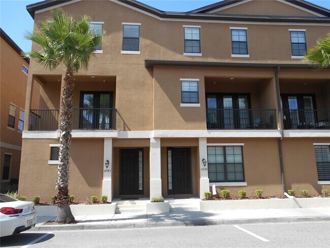
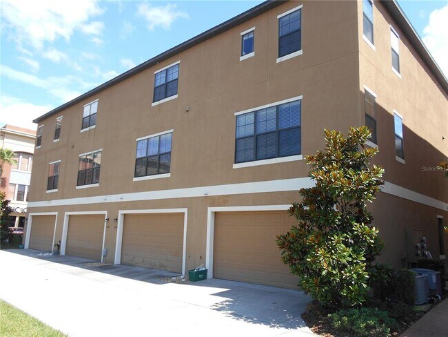
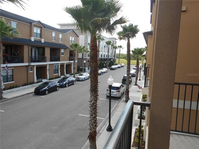
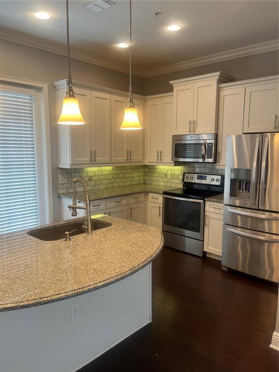
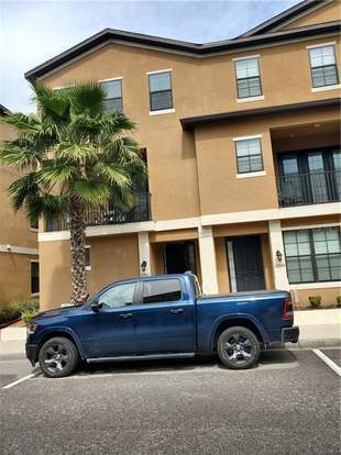
12943 Cat's Claw Ln
Orlando, FL 32828
Favorites
-
Bedrooms
3
-
Bathrooms
4
-
Square Feet
1,922 sq ft
12943 Cat's Claw Ln

Favorites
Contact
- Listed by Locayt
Location
Get Directions
East Orlando generally refers to the region east of SR 417, south of Oviedo, north of Wewahotee, and west of Christmas. The expansive and ever-growing University of Central Florida is located in this area, making it a popular choice for many university students, faculty, and staff.
Communities in East Orlando exude a suburban feel, with plenty of convenient shopping centers as well as numerous apartments and houses available for rent along tranquil tree-lined streets. East Orlando also provides ample opportunities for outdoor recreation, boasting easy access to destinations like Little Big Econ State Forest, Fort Christmas Historical Park, Hal Scott Regional Preserve and Park, and Tosohatchee Wildlife Management Area.
Learn more about living in East Orlando
Education
| Colleges & Universities | Distance | ||
|---|---|---|---|
| Colleges & Universities | Distance | ||
| Drive: | 19 min | 9.1 mi | |
| Drive: | 19 min | 10.5 mi | |
| Drive: | 22 min | 10.8 mi | |
| Drive: | 22 min | 11.6 mi |
12943 Cat's Claw Ln is within 19 minutes or 9.1 miles from University of Central Florida. It is also near Valencia College, East Campus and Valencia C, Public Safety.
Getting Around
 What do Walkability, Transit, Drivability, and Bikeability mean?
Walkability measures the walking distance to day-to-day needs.
Transit measures access to public transportation.
Drivability measures congestion, parking availability, and access to major roads.
Bikeability measures the suitability for cycling.
How It Works
What do Walkability, Transit, Drivability, and Bikeability mean?
Walkability measures the walking distance to day-to-day needs.
Transit measures access to public transportation.
Drivability measures congestion, parking availability, and access to major roads.
Bikeability measures the suitability for cycling.
How It Works
Fairly Walkable
Walkability
50
/ 100
Very Drivable
Drivability
80
/ 100
Fairly Bikeable
Bikeability
40
/ 100
Scores provided by
-
Soundscore™
-
/ 100
Traffic
-Airport
-Businesses
-Scores provided by
HowLoud What is a Sound Score Rating? A Sound Score Rating aggregates noise caused by vehicle traffic, airplane traffic and local sources. How It WorksYou May Also Like
Similar Rentals Nearby
-
-

-

-

-

-

-

-

-
 3 Beds, 2 Baths, 1,226 sq ft$1,900Total Monthly PriceTotal Monthly Price NewPrices include all required monthly fees.3930 Southpointe Dr Unit 213
 -
3 Beds, 2 Baths, 1,226 sq ft$1,900Total Monthly PriceTotal Monthly Price NewPrices include all required monthly fees.3930 Southpointe Dr Unit 213
What Are Walk Score®, Transit Score®, and Bike Score® Ratings?
Walk Score® measures the walkability of any address. Transit Score® measures access to public transit. Bike Score® measures the bikeability of any address.
What is a Sound Score Rating?
A Sound Score Rating aggregates noise caused by vehicle traffic, airplane traffic and local sources.
12943 Cat's Claw Ln
Orlando, FL 32828