
$1,075
/ Month
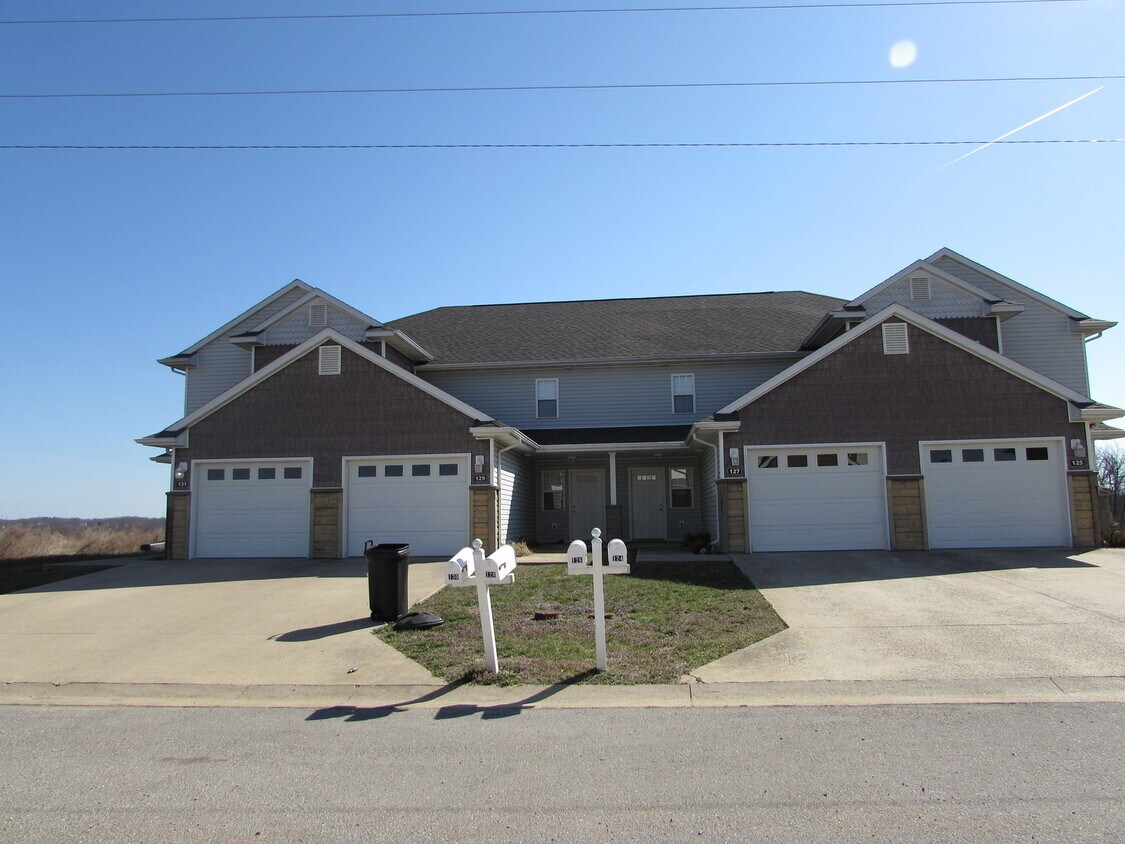
129 Andrews Dr Unit 129
Saint Robert, MO 65584
Today
|
Edit
Favorites
573-336-3535
-
Bedrooms
2
-
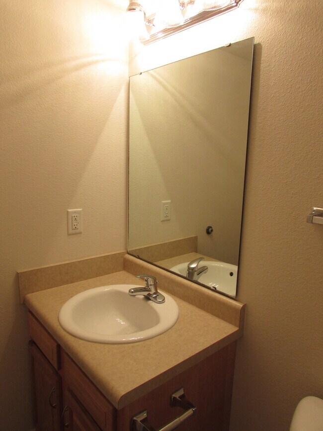
Bathrooms
2.5
-
Square Feet
--
-
Available
Available Now
129 Andrews Dr Unit 129

Favorites
129 Andrews Dr is an apartment community located in Pulaski County and the 65584 ZIP Code.
* Price shown is base rent. Excludes user-selected optional fees and variable or usage-based fees and required charges due at or prior to move-in or at move-out. Price, availability, fees, and any applicable rent special are subject to change without notice.
* Square footage definitions vary. Displayed square footage is approximate.
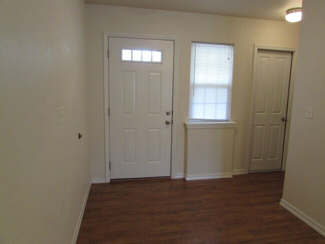
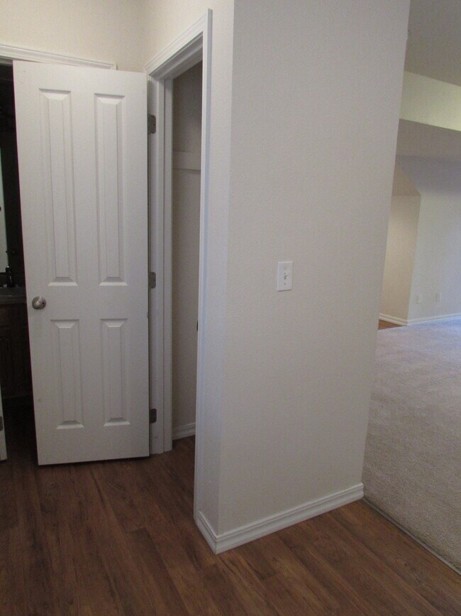
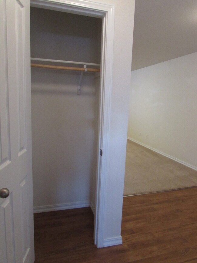
Features
- Dishwasher
Contact
- Listed by Investment Realty, Inc. | Investment Realty, Inc.
- Phone Number
- Contact
Location
Get Directions
Bordered on two sides by Fort Leonard Wood, a US Army installation with its main gate located to the south side of the city, Saint Robert is a city popular with military personnel and those working at the base. This base in the Ozarks is home to the US Army Maneuver Support Center of Excellence, and it has served as a military base since 1940. Saint Robert is a terrific city, providing walking and bicycling trails, a fishing pond, and several parks. Park amenities include such places as the Tiger Typhoon Aquatic Center and the Saint Robert Golf Course. The very popular Tiger Typhoon Aquatic Center features slides, a zero-depth splash area, lap lanes, a rock climbing wall, and water play structure.
Saint Robert residents enjoy three local farmers markets: the Fort Leonard Wood Farmers Market, the Pulaski County Farmers Market in nearby Waynesville, and the Richland Farmers Market (roughly 18 miles west in Richland).
Learn more about living in Saint Robert
Amenities
- Dishwasher
Education
| Colleges & Universities | Distance | ||
|---|---|---|---|
| Colleges & Universities | Distance | ||
| Drive: | 33 min | 27.6 mi |
129 Andrews Dr Unit 129 is within 33 minutes or 27.6 miles from Missouri Univ. of Sci. &Tech..
Getting Around
 What do Walkability, Transit, Drivability, and Bikeability mean?
Walkability measures the walking distance to day-to-day needs.
Transit measures access to public transportation.
Drivability measures congestion, parking availability, and access to major roads.
Bikeability measures the suitability for cycling.
How It Works
What do Walkability, Transit, Drivability, and Bikeability mean?
Walkability measures the walking distance to day-to-day needs.
Transit measures access to public transportation.
Drivability measures congestion, parking availability, and access to major roads.
Bikeability measures the suitability for cycling.
How It Works
Somewhat Walkable
Walkability
20
/ 100
Exceptionally Drivable
Drivability
100
/ 100
Somewhat Bikeable
Bikeability
20
/ 100
Scores provided by
Calm
Soundscore™
87
/ 100
Traffic
CalmAirport
CalmBusinesses
CalmScores provided by
HowLoud What is a Sound Score Rating? A Sound Score Rating aggregates noise caused by vehicle traffic, airplane traffic and local sources. How It WorksYou May Also Like
Similar Rentals Nearby


What Are Walk Score®, Transit Score®, and Bike Score® Ratings?
Walk Score® measures the walkability of any address. Transit Score® measures access to public transit. Bike Score® measures the bikeability of any address.
What is a Sound Score Rating?
A Sound Score Rating aggregates noise caused by vehicle traffic, airplane traffic and local sources.
129 Andrews Dr
Saint Robert, MO 65584