

$1,200 / Month

12836 Littleton Rd

,

Garfield Heights, OH 44125

Share Listing
Favorites
216-390-0444
  • Bedrooms

    2

  • Bathrooms

    1.5

  • Square Feet

    --

  • Available

    Available Now

Highlights

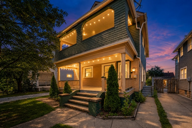
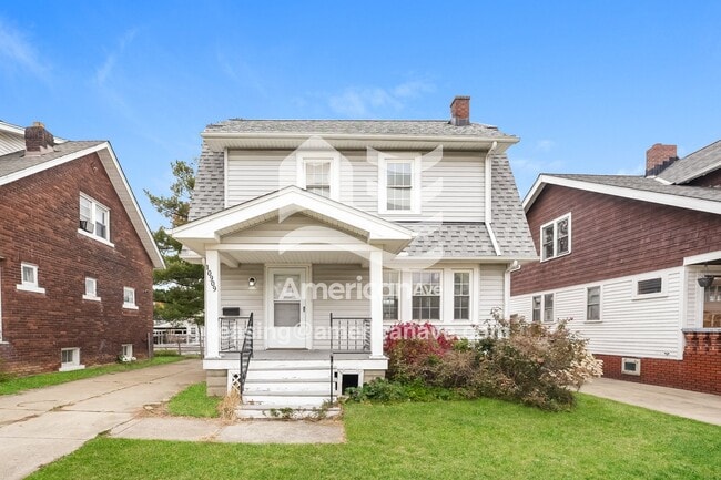
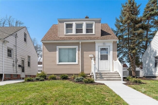
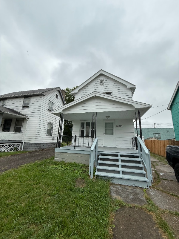
  • Colonial Architecture
  • Central Air
  • 1 Car Garage
  • North Facing Home
  • Heating System Uses Gas
12836 Littleton Rd
Share Listing
Favorites

About This Home

Available Now

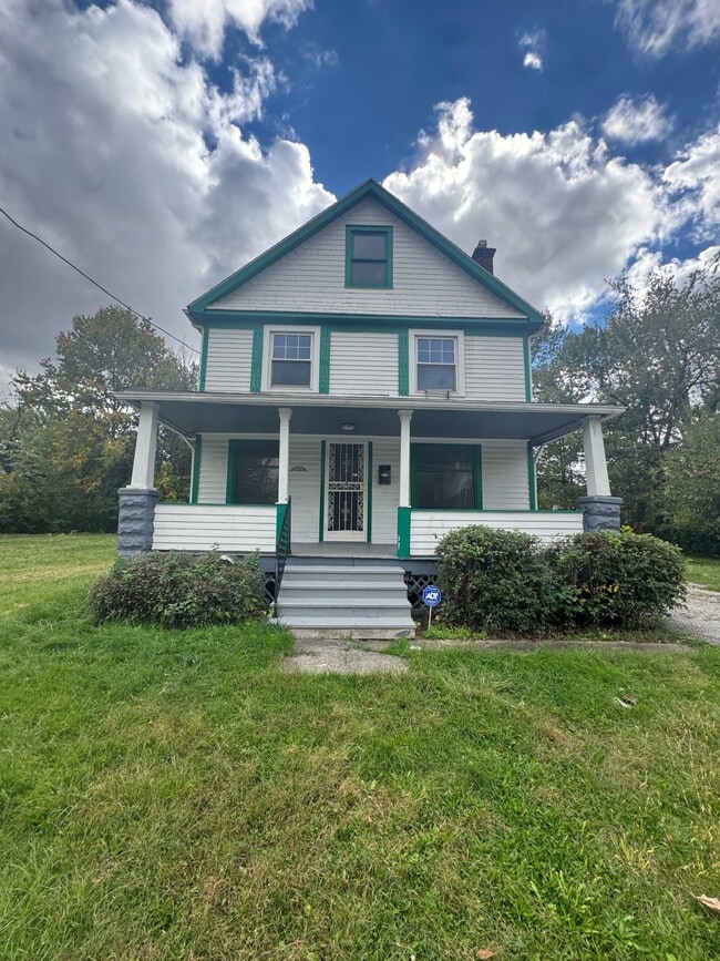
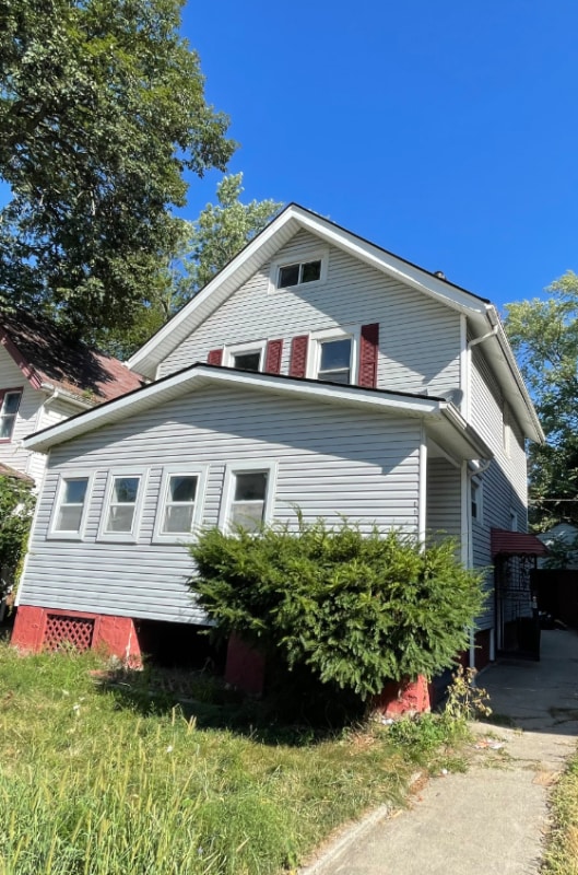
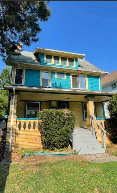
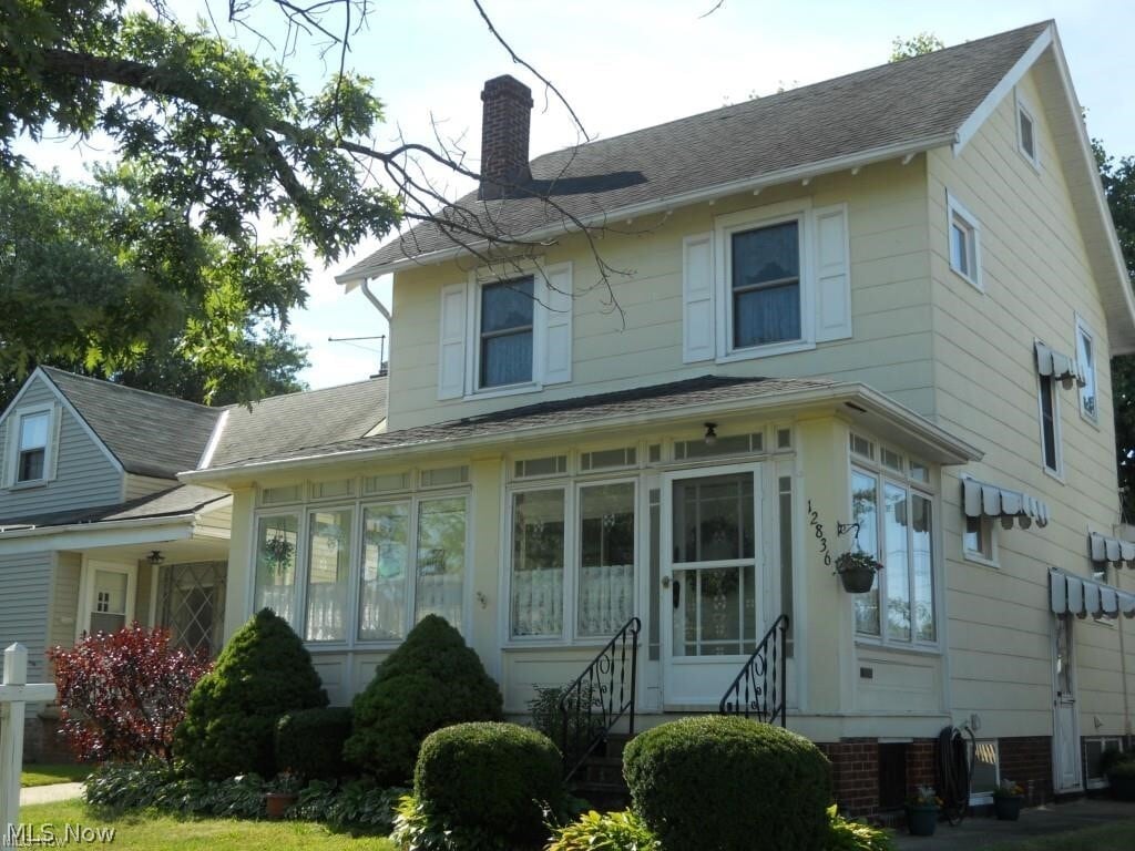
SECTION 8 ONLY*2 bedroom Colonial for rent* Renter fills out a application and if Owner approves * Renter must go through a credit and background check at the Renters expense of 36.00. Rent is $1200 per month and the security deposit is $1200. Collecting rental applications for the owner to look at.

12836 Littleton Rd is a house located in Cuyahoga County and the 44125 ZIP Code.

* Price shown is base rent. Excludes user-selected optional fees and variable or usage-based fees and required charges due at or prior to move-in or at move-out. Price, availability, fees, and any applicable rent special are subject to change without notice.
* Square footage definitions vary. Displayed square footage is approximate.

Home Details

Home Type

Single Family Detached Home

Year Built

Built in 1923

Bedrooms and Bathrooms

1.5 Bathrooms 2 Bedrooms

Home Design

Colonial Architecture

Interior Spaces

2-Story Property

Listing and Financial Details

12 Month Lease Term Assessor Parcel Number 543-22-095 Tenant pays for all utilities, cable TV, electricity, exterior maintenance, gas, grounds care, internet, sewer

Lot Details

5,227 Sq Ft Lot North Facing Home

Parking

1 Car Garage

Unfinished Basement

Basement Fills Entire Space Under The House Laundry in Basement

Utilities

Central Air Heating System Uses Gas

Community Details

Pet Policy

No Pets Allowed

Contact

  • Listed by Randy G Shamblin | Arrow Realty
  • Phone Number
  • Contact
  • Source
    MLS Now
Copyright 2026 © MLS Now. All rights reserved.
| Edit

Under 30 minutes

Commute Time is calculated at rush hour.
City - Garfield Heights

Garfield Heights sits just a few miles south of downtown Cleveland, making it one of the more strategically placed inner-ring suburbs in all of Ohio. The city carries a strong sense of place, shaped by its history and a tight-knit community identity that still runs through its neighborhoods today. Proximity to Cleveland's employment corridors, medical institutions, and cultural districts gives residents easy access to big-city opportunities without the big-city price tag.

The city is laid out with mostly residential streets lined by brick bungalows, Cape Cods, and two-story frame homes that give the area a grounded, no-frills character. Renters will find a mix of apartment communities tucked into established neighborhoods, ranging from garden-style buildings to smaller multi-unit properties that reflect the area's mid-20th-century architectural roots. Many units offer more square footage than comparable options closer to Cleveland's urban core.

Learn more about living in Garfield Heights 
Education
Colleges & Universities Distance
Drive: 17 min 7.9 mi
Drive: 16 min 7.9 mi
Drive: 21 min 9.7 mi
Drive: 22 min 9.9 mi
12836 Littleton Rd is within 17 minutes or 7.9 miles from Cuyahoga C.C., East. It is also near Cuyahoga C.C., Eastern Campus and Case Western Reserve.
Transportation

Transportation options available in Garfield Heights include Lee (Blue Line), located 5.9 miles from 12836 Littleton Rd. 12836 Littleton Rd is near Cleveland-Hopkins International, located 15.5 miles or 26 minutes away, and Akron-Canton Regional, located 40.0 miles or 55 minutes away.

Transit / Subway Distance
Drive: 14 min 5.9 mi
Drive: 15 min 6.2 mi
Drive: 15 min 6.3 mi
Drive: 15 min 6.4 mi
Drive: 16 min 6.7 mi
Commuter Rail Distance
Drive: 6 min 2.4 mi
Drive: 6 min 2.7 mi
Drive: 20 min 8.0 mi
Drive: 23 min 11.9 mi
Boston Mill
Drive: 28 min 12.2 mi
Airports Distance
Airports Distance
Cleveland-Hopkins International
Drive: 26 min 15.5 mi
Akron-Canton Regional
Drive: 55 min 40.0 mi
Getting Around
Fairly Walkable
Walkability
50 / 100
Limited Public Transit
Transit
30 / 100
Very Drivable
Drivability
80 / 100
Fairly Bikeable
Bikeability
50 / 100

Scores provided by

What do Walkability, Transit, Drivability, and Bikeability mean? Walkability measures the walking distance to day-to-day needs. Transit measures access to public transportation. Drivability measures congestion, parking availability, and access to major roads. Bikeability measures the suitability for cycling. How It Works
Active
Soundscore
69 / 100

Traffic

Busy

Airport

Calm

Businesses

Active

Scores provided by

HowLoud What is a Sound Score Rating? A Sound Score Rating aggregates noise caused by vehicle traffic, airplane traffic and local sources. How It Works
Points of Interest

Time and distance from 12836 Littleton Rd.

Shopping Centers Distance
Walk: 7 min 0.4 mi
Walk: 10 min 0.5 mi
Walk: 11 min 0.6 mi
12836 Littleton Rd has 3 shopping centers within 0.6 mile, which is about a 11-minute walk. The miles and minutes will be for the farthest away property.
Parks and Recreation Distance
Garfield Park Nature Center
Drive: 7 min 3.1 mi
Bedford Reservation
Drive: 9 min 4.0 mi
CanalWay Center
Drive: 13 min 5.6 mi
Ohio & Erie Canal Reservation
Drive: 11 min 5.8 mi
West Creek Reservation
Drive: 17 min 6.6 mi
12836 Littleton Rd has 5 parks within 6.6 miles, including Garfield Park Nature Center, Bedford Reservation, and CanalWay Center.
Hospitals Distance
Hospitals Distance
Drive: 5 min 2.1 mi
Drive: 12 min 5.3 mi
Drive: 12 min 6.0 mi
12836 Littleton Rd has 3 hospitals within 6.0 miles, the nearest is Marymount Hospital which is 2.1 miles away and a 5 minute drive.
Military Bases Distance
Drive: 96 min 78.5 mi
Drive: 108 min 87.4 mi
12836 Littleton Rd is 78.5 miles from Mansfield Lahm Airport Air Guard Station, and is convenient to other military bases, including Camp Perry Air Guard Station.

You May Also Like

Similar Rentals Nearby