
$750
/ Month
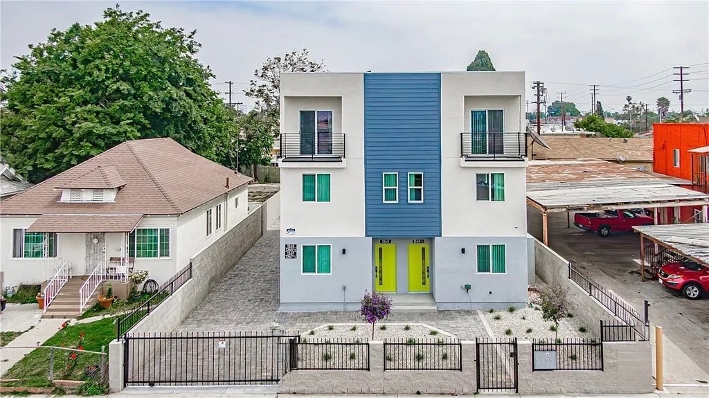
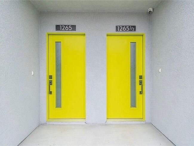
1265 E Adams Blvd
Los Angeles, CA 90011
Today
Favorites
424-234-3475
-
Bedrooms
5
-
Bathrooms
4
-
Square Feet
--
-
Available
Available Now
1265 E Adams Blvd

Favorites
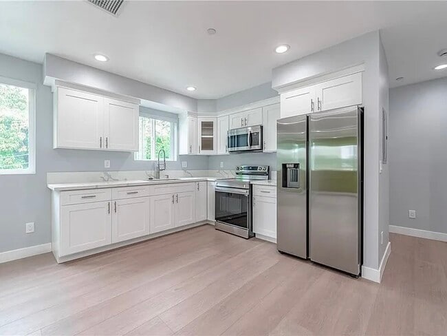
About This Home
Available Now
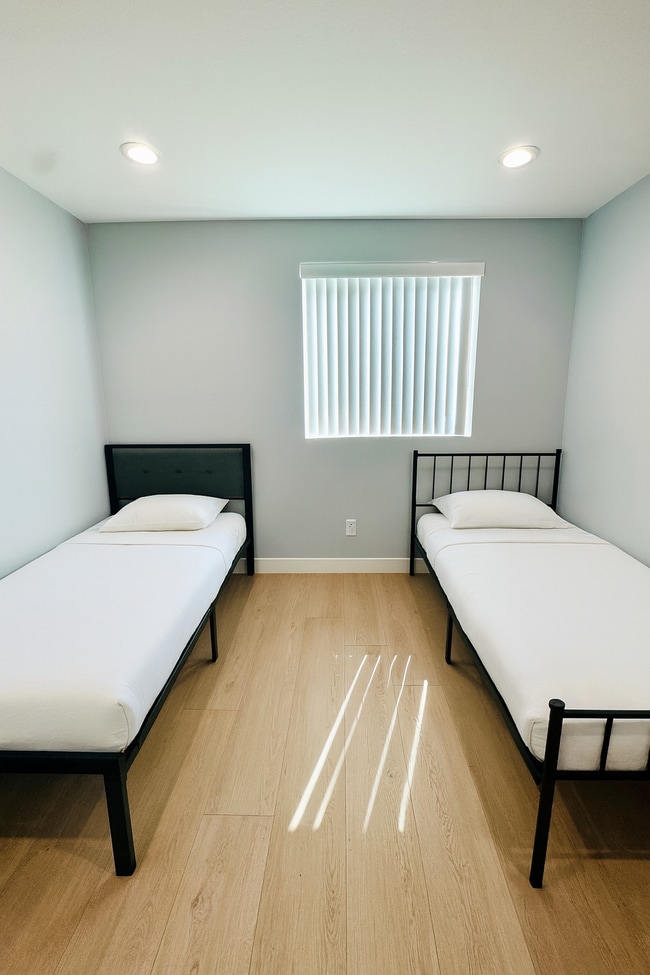
Ditch the drama. Keep the comfort. Ostel’s South Central location offers stylish, all-inclusive co-living room shares just minutes from USC, the Natural History Museum, Banc of California Stadium, and the California Science Center. Designed for students, professionals, and travelers alike, our move-in ready rooms make LA living easy, flexible, and affordable. - Shared rooms from $750 – $900/month (all utilities + Wi-Fi included) - Weekly housekeeping & on-site laundry - Mostly shared bathrooms, ensuite in deluxe rooms - Common indoor and outdoor lounge spaces - Easy street & paid parking - Prime location near USC, Exposition Park, and public transportation - No credit check. No deposit. No SSN. Just valid ID. Instead of traditional barriers, Ostel keeps it simple: a one-time $200 move-in fee replaces the deposit, gives you month-to-month flexibility, and allows you to reserve a bed before your tour. Rooms fill quickly—call , email , or visit to book your tour or secure your room today. Move smart. Live simply. Choose Ostel.
1265 E Adams Blvd is a townhome located in Los Angeles County and the 90011 ZIP Code.
* Price shown is base rent. Excludes user-selected optional fees and variable or usage-based fees and required charges due at or prior to move-in or at move-out. Price, availability, fees, and any applicable rent special are subject to change without notice.
* Square footage definitions vary. Displayed square footage is approximate.
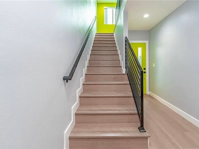
Townhome Features
- Washer/Dryer
- Washer/Dryer Hookup
- Balcony
Contact
- Listed by Owen
- Phone Number
- Contact
Location
Get Directions
Amenities
- Washer/Dryer
- Washer/Dryer Hookup
- Balcony
Southeast Los Angeles is directly south of the Fashion District and east of the University of Southern California (USC). This large neighborhood is minutes from downtown Los Angeles, Hollywood, and Beverly Hills, with easy access to the 110 Freeway. This great location places you near sunny beaches, nature trails, and a bevy of leading employers. Students can access both USC and California State University Long Beach from their Southeast LA apartment.
This densely populated, diverse neighborhood features everything from food trucks and corner markets to wide sidewalks and residential areas filled with bungalows, ranch, and Spanish Colonial architecture. Southeast LA features palm trees and mountain views, tampered with gritty undertones to give it a cool, funky vibe.
As for outdoor fun, take your pick between Catalina Island, Venus Beach, or the Santa Monica Pier. Nearby, you’ll find more sunny beaches like White Point, Cabrillo, and Long Beach.
Learn more about living in Southeast Los Angeles
Education
| Colleges & Universities | Distance | ||
|---|---|---|---|
| Colleges & Universities | Distance | ||
| Drive: | 6 min | 2.2 mi | |
| Drive: | 5 min | 2.2 mi | |
| Drive: | 7 min | 2.9 mi | |
| Drive: | 6 min | 3.0 mi |
1265 E Adams Blvd is within 6 minutes or 2.2 miles from Los Angeles Trade-Tech. It is also near Mount St. Mary's Coll, Doheny and USC, University Park Campus.
Transportation options available in Los Angeles include Washington Station, located 0.7 mile from 1265 E Adams Blvd. 1265 E Adams Blvd is near Los Angeles International, located 13.5 miles or 25 minutes away, and Bob Hope, located 20.3 miles or 28 minutes away.
| Transit / Subway | Distance | ||
|---|---|---|---|
| Transit / Subway | Distance | ||
|
|
Walk: | 12 min | 0.7 mi |
|
|
Drive: | 3 min | 1.1 mi |
|
|
Drive: | 3 min | 1.3 mi |
|
|
Drive: | 5 min | 2.1 mi |
|
|
Drive: | 5 min | 2.4 mi |
| Commuter Rail | Distance | ||
|---|---|---|---|
| Commuter Rail | Distance | ||
|
|
Drive: | 8 min | 3.4 mi |
|
|
Drive: | 10 min | 3.7 mi |
| Drive: | 11 min | 7.3 mi | |
|
|
Drive: | 14 min | 8.9 mi |
|
|
Drive: | 15 min | 9.2 mi |
| Airports | Distance | ||
|---|---|---|---|
| Airports | Distance | ||
|
Los Angeles International
|
Drive: | 25 min | 13.5 mi |
|
Bob Hope
|
Drive: | 28 min | 20.3 mi |
Time and distance from 1265 E Adams Blvd.
| Shopping Centers | Distance | ||
|---|---|---|---|
| Shopping Centers | Distance | ||
| Drive: | 3 min | 1.2 mi | |
| Drive: | 3 min | 1.2 mi | |
| Drive: | 3 min | 1.3 mi |
1265 E Adams Blvd has 3 shopping centers within 1.3 miles, which is about a 3-minute drive. The miles and minutes will be for the farthest away property.
| Parks and Recreation | Distance | ||
|---|---|---|---|
| Parks and Recreation | Distance | ||
|
Augustus Hawkins Natural Park
|
Drive: | 5 min | 2.1 mi |
|
California Science Center
|
Drive: | 7 min | 2.9 mi |
|
Hollenbeck Lake
|
Drive: | 6 min | 3.0 mi |
|
Natural History Museum of LA County
|
Drive: | 7 min | 3.1 mi |
|
Exposition Park Rose Garden
|
Drive: | 7 min | 3.8 mi |
1265 E Adams Blvd has 5 parks within 3.8 miles, including Augustus Hawkins Natural Park, California Science Center, and Exposition Park Rose Garden.
| Hospitals | Distance | ||
|---|---|---|---|
| Hospitals | Distance | ||
| Drive: | 5 min | 2.3 mi | |
| Drive: | 6 min | 3.3 mi | |
| Drive: | 7 min | 3.6 mi |
1265 E Adams Blvd has 3 hospitals within 3.6 miles, the nearest is California Hospital Medical Center LA which is 2.3 miles away and a 5 minute drive.
| Military Bases | Distance | ||
|---|---|---|---|
| Military Bases | Distance | ||
| Drive: | 22 min | 15.0 mi |
1265 E Adams Blvd is 15.0 miles and a 22 minute drive from Los Angeles Air Force Base.
You May Also Like
Similar Rentals Nearby
-
-

-

-

-

-
-
1 / 50

-
-

-


What Are Walk Score®, Transit Score®, and Bike Score® Ratings?
Walk Score® measures the walkability of any address. Transit Score® measures access to public transit. Bike Score® measures the bikeability of any address.
What is a Sound Score Rating?
A Sound Score Rating aggregates noise caused by vehicle traffic, airplane traffic and local sources

1265 E Adams Blvd
Los Angeles, CA 90011