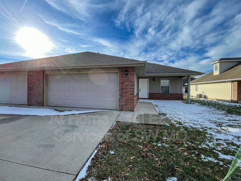


2 Beds
$750
Total Monthly Price
12 Month Lease
Total Monthly Price
New
Prices include all required monthly fees.
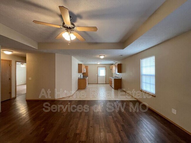
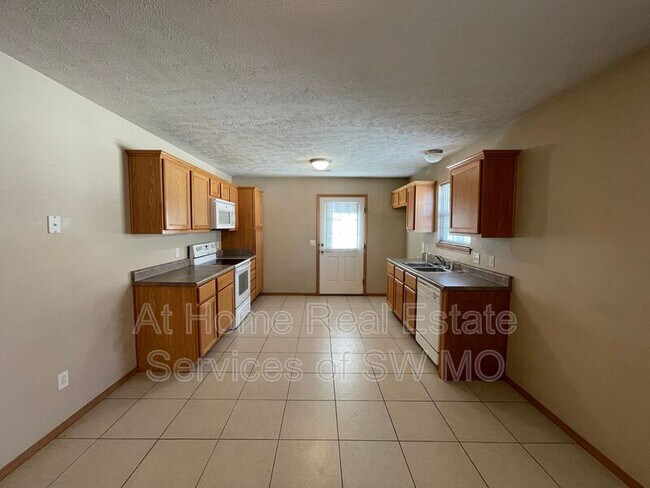
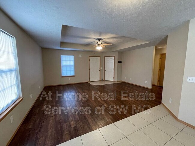
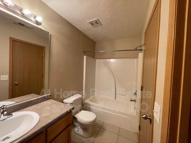
219 E Mill St Unit 219