
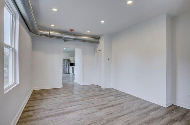
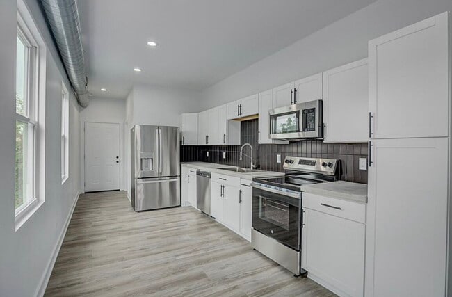


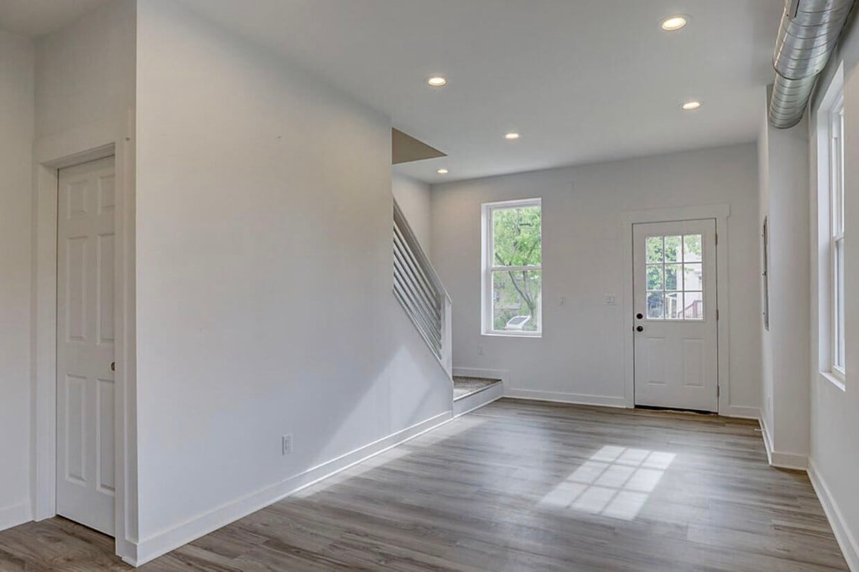
1233 Scott St
Covington, KY 41011
-
Bedrooms
3
-
Bathrooms
2.5
-
Square Feet
1,800 sq ft
-
Available
Available May 13

Contact
- Contact
Northern Kentucky is a sprawling region located just south of Cincinnati, Ohio. The Ohio River hugs the northern, eastern, and western portions of the region, serving as a scenic destination for all kinds of outdoor recreation throughout the year. Florence, Dayton, Newport, Covington, Burlington, and Highland Heights are among the many communities included in the Northern Kentucky region.
Each community in Northern Kentucky offers its own unique identity and sense of character. The rentals in the area are just as diverse as Northern Kentucky itself, ranging from luxury apartments to charming houses and everything in between. Getting around the region is a breeze with convenience to Interstates 71, 75, 275, and 471.
Learn more about living in Northern Kentucky| Colleges & Universities | Distance | ||
|---|---|---|---|
| Colleges & Universities | Distance | ||
| Drive: | 11 min | 5.3 mi | |
| Drive: | 13 min | 6.3 mi | |
| Drive: | 14 min | 6.6 mi | |
| Drive: | 13 min | 7.1 mi |
Transportation options available in Covington include The Banks Station - 2Nd & Main, located 1.7 miles from 1233 Scott St. 1233 Scott St is near Cincinnati/Northern Kentucky International, located 12.6 miles or 25 minutes away.
| Transit / Subway | Distance | ||
|---|---|---|---|
| Transit / Subway | Distance | ||
| Drive: | 6 min | 1.7 mi | |
| Drive: | 7 min | 1.9 mi | |
| Drive: | 8 min | 2.1 mi | |
| Drive: | 7 min | 3.1 mi | |
| Drive: | 8 min | 3.3 mi |
| Commuter Rail | Distance | ||
|---|---|---|---|
| Commuter Rail | Distance | ||
|
|
Drive: | 9 min | 4.0 mi |
| Airports | Distance | ||
|---|---|---|---|
| Airports | Distance | ||
|
Cincinnati/Northern Kentucky International
|
Drive: | 25 min | 12.6 mi |
Scores provided by
Traffic
-Airport
-Businesses
-Scores provided by
HowLoud What is a Sound Score Rating? A Sound Score Rating aggregates noise caused by vehicle traffic, airplane traffic and local sources. How It WorksTime and distance from 1233 Scott St.
| Shopping Centers | Distance | ||
|---|---|---|---|
| Shopping Centers | Distance | ||
| Walk: | 8 min | 0.4 mi | |
| Drive: | 5 min | 1.7 mi | |
| Drive: | 6 min | 1.8 mi |
| Parks and Recreation | Distance | ||
|---|---|---|---|
| Parks and Recreation | Distance | ||
|
Newport Aquarium
|
Drive: | 6 min | 2.1 mi |
|
John G. & Phyllis W. Smale Riverfront Park
|
Drive: | 6 min | 3.0 mi |
|
OMNIMAX Theater
|
Drive: | 9 min | 4.0 mi |
|
Cincinnati History Museum
|
Drive: | 9 min | 4.0 mi |
|
Theodore M. Berry Friendship Park
|
Drive: | 8 min | 4.7 mi |
| Hospitals | Distance | ||
|---|---|---|---|
| Hospitals | Distance | ||
| Drive: | 7 min | 2.9 mi | |
| Drive: | 11 min | 5.5 mi | |
| Drive: | 12 min | 6.0 mi |
| Military Bases | Distance | ||
|---|---|---|---|
| Military Bases | Distance | ||
| Drive: | 75 min | 57.5 mi | |
| Drive: | 81 min | 62.6 mi | |
| Drive: | 84 min | 65.9 mi |
1233 Scott St Photos
What Are Walk Score®, Transit Score®, and Bike Score® Ratings?
Walk Score® measures the walkability of any address. Transit Score® measures access to public transit. Bike Score® measures the bikeability of any address.
What is a Sound Score Rating?
A Sound Score Rating aggregates noise caused by vehicle traffic, airplane traffic and local sources.
1233 Scott St
Covington, KY 41011