
$3,950
/ Month
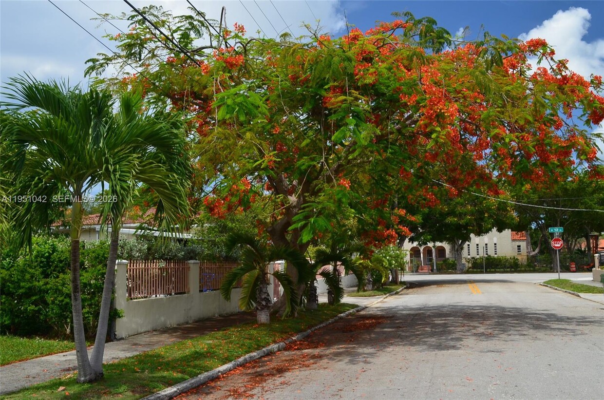
1231 SW 15th St
Miami, FL 33145
Today
|
Edit
Favorites
305-790-4206
-
Bedrooms
3
-
Bathrooms
2
-
Square Feet
1,852 sq ft
-
Available
Available Now
Highlights
- Formal Dining Room
- Complete Panel Shutters or Awnings
- 1 Car Attached Garage
- Laundry Room
- Ceramic Tile Flooring
- Outdoor Grill
1231 SW 15th St

Favorites
About This Home
Available Now
the Roads area, nice house 3/2, huge kitchen, washer/dryer room and garage, ready to move in. Easy access to I-95 and US-1. Minutes from Downtown, Brickell, Key Biscayne, Coconut Grove, Coral Gables, Shopping Boutiques , Dinning, and entertainment. BEST LOCATION! MLS # A11951042
1231 SW 15Th St is a house located in Miami/Dade County and the 33145 ZIP Code.
* Price shown is base rent. Excludes user-selected optional fees and variable or usage-based fees and required charges due at or prior to move-in or at move-out. Price, availability, fees, and any applicable rent special are subject to change without notice.
* Square footage definitions vary. Displayed square footage is approximate.
Home Details
Home Type
Single Family Detached Home
Year Built
Built in 1940
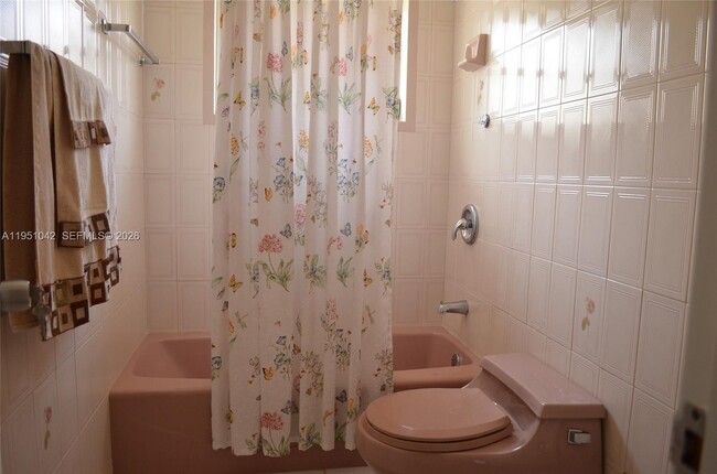
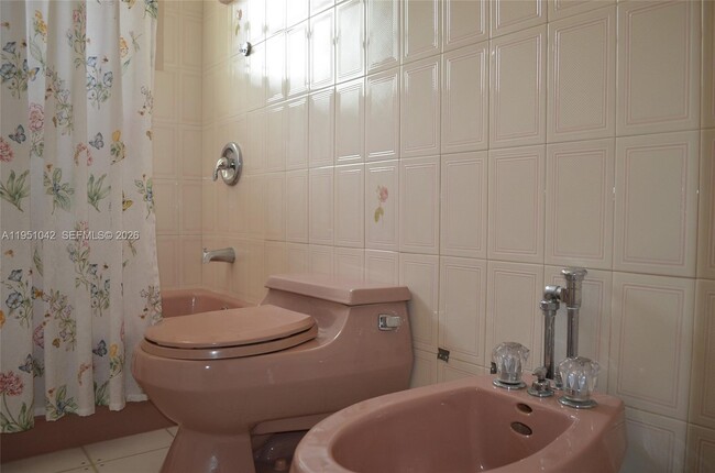
Bedrooms and Bathrooms
2 Full Bathrooms
3 Bedrooms
Home Design
Barrel Roof Shape
Home Security
Complete Panel Shutters or Awnings
Clear Impact Glass
Interior Spaces
Formal Dining Room
Ceramic Tile Flooring
Family Room
1,852 Sq Ft Home
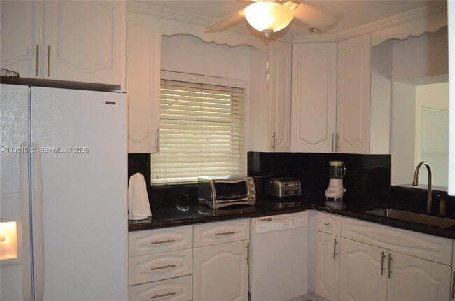
Kitchen
Dishwasher
Laundry
Laundry Room
Dryer
Washer
Listing and Financial Details
Property Available on 1/22/26
More Than 1 Year Lease Term
Assessor Parcel Number 01-41-38-008-0390
Lot Details
5,750 Sq Ft Lot
Fenced
Property is zoned 0100
Outdoor Features
Outdoor Grill
Parking
1 Car Attached Garage
Automatic Garage Door Opener
Schools
Coral Way Elementary School
Shenandoah Middle School
Miami Senior High School
Utilities
Electric Water Heater
Community Details
Overview
No Home Owners Association
The community has rules related to no recreational vehicles or boats, no trucks or trailers
Brickell Estates Condos
Brickell Estates Subdivision
Pet Policy
Pets Allowed
Pet Size Limit
Fees and Policies
The fees below are based on community-supplied data and may exclude additional fees and utilities.
-
One-Time Basics
-
Due at Application
-
Application Fee Per ApplicantCharged per applicant.$150
-
-
Due at Application
-
Dogs
-
Allowed
-
-
Cats
-
Allowed
-
Property Fee Disclaimer: Based on community-supplied data and independent market research. Subject to change without notice. May exclude fees for mandatory or optional services and usage-based utilities.
Contact
- Listed by Erick Aracil | Miami Premier Realty
- Phone Number
- Contact
-
Source
 MIAMI Association of REALTORS®
Copyright © 2026 MIAMI Association of REALTORS®. All rights reserved. All information provided by the listing agent/broker is deemed reliable but is not guaranteed and should be independently verified.
Location
Get Directions
Located just southwest of Brickell, Coral Way is a charming neighborhood brimming with historic character and banyan-tree-lined streets. Coral Way blends residential tranquility with commercial convenience, offering a variety of luxury apartments and condos available for rent, as well as a host of restaurants, markets, and shops on several major thoroughfares.
In addition to its unique charm, Coral Way is revered for its central location between Downtown Miami, Brickell, Coconut Grove, and Coral Gables. Residents enjoy quick access to desirable amenities such as the Venetian Pool, Vizcaya Museum and Gardens, the Shops at Merrick Park, the University of Miami, Historic Virginia Key Beach Park, and Crandon Park. Commuting from Coral Way is a breeze with access to the Metrorail, Interstate 95, and U.S. Route 1.
Learn more about living in Coral Way
Education
| Colleges & Universities | Distance | ||
|---|---|---|---|
| Colleges & Universities | Distance | ||
| Drive: | 5 min | 2.0 mi | |
| Drive: | 6 min | 2.3 mi | |
| Drive: | 7 min | 2.7 mi | |
| Drive: | 7 min | 3.0 mi |
1231 SW 15th St is within 5 minutes or 2.0 miles from Miami Dade Coll., InterAm.. It is also near Univ. of Miami, Uhealth and Miami Dade College, Wolfson.
Transportation options available in Miami include Financial District, located 1.8 miles from 1231 SW 15th St. 1231 SW 15th St is near Miami International, located 11.2 miles or 22 minutes away, and Fort Lauderdale/Hollywood International, located 24.4 miles or 36 minutes away.
| Transit / Subway | Distance | ||
|---|---|---|---|
| Transit / Subway | Distance | ||
|
|
Drive: | 5 min | 1.8 mi |
|
|
Drive: | 5 min | 1.9 mi |
|
|
Drive: | 5 min | 1.9 mi |
|
|
Drive: | 5 min | 2.0 mi |
|
|
Drive: | 6 min | 2.1 mi |
| Commuter Rail | Distance | ||
|---|---|---|---|
| Commuter Rail | Distance | ||
|
|
Drive: | 3 min | 1.5 mi |
|
|
Drive: | 5 min | 1.9 mi |
|
|
Drive: | 6 min | 2.3 mi |
|
|
Drive: | 6 min | 2.7 mi |
|
|
Drive: | 7 min | 2.8 mi |
| Airports | Distance | ||
|---|---|---|---|
| Airports | Distance | ||
|
Miami International
|
Drive: | 22 min | 11.2 mi |
|
Fort Lauderdale/Hollywood International
|
Drive: | 36 min | 24.4 mi |
Time and distance from 1231 SW 15th St.
| Shopping Centers | Distance | ||
|---|---|---|---|
| Shopping Centers | Distance | ||
| Walk: | 16 min | 0.8 mi | |
| Walk: | 18 min | 0.9 mi | |
| Walk: | 18 min | 1.0 mi |
1231 SW 15th St has 3 shopping centers within 1.0 mile, which is about a 18-minute walk. The miles and minutes will be for the farthest away property.
| Parks and Recreation | Distance | ||
|---|---|---|---|
| Parks and Recreation | Distance | ||
|
Miami Science Museum - Closed
|
Drive: | 4 min | 1.5 mi |
|
Vizcaya Museum and Gardens
|
Drive: | 6 min | 1.7 mi |
|
The Barnacle Historic State Park
|
Drive: | 7 min | 3.4 mi |
|
Miami Children's Museum
|
Drive: | 10 min | 5.0 mi |
|
Jungle Island
|
Drive: | 11 min | 5.3 mi |
1231 SW 15th St has 5 parks within 5.3 miles, including Miami Science Museum - Closed, Vizcaya Museum and Gardens, and The Barnacle Historic State Park.
| Hospitals | Distance | ||
|---|---|---|---|
| Hospitals | Distance | ||
| Drive: | 5 min | 2.2 mi | |
| Drive: | 10 min | 5.3 mi | |
| Drive: | 14 min | 6.6 mi |
1231 SW 15th St has 3 hospitals within 6.6 miles, the nearest is Jackson Health System which is 2.2 miles away and a 5 minute drive.
You May Also Like
Similar Rentals Nearby


What Are Walk Score®, Transit Score®, and Bike Score® Ratings?
Walk Score® measures the walkability of any address. Transit Score® measures access to public transit. Bike Score® measures the bikeability of any address.
What is a Sound Score Rating?
A Sound Score Rating aggregates noise caused by vehicle traffic, airplane traffic and local sources

1231 SW 15th St
Miami, FL 33145