

$3,700 / Month

1230 Aspen St NW

,

Washington, DC 20012

Share Listing
Favorites
1230 Aspen St NW
Share Listing
Favorites

Check Back Soon for Upcoming Availability

Beds Baths Average SF
3 Bedrooms 3 Bedrooms 3 Br 4 Baths 4 Baths 4 Ba 2,100 SF

About This Property

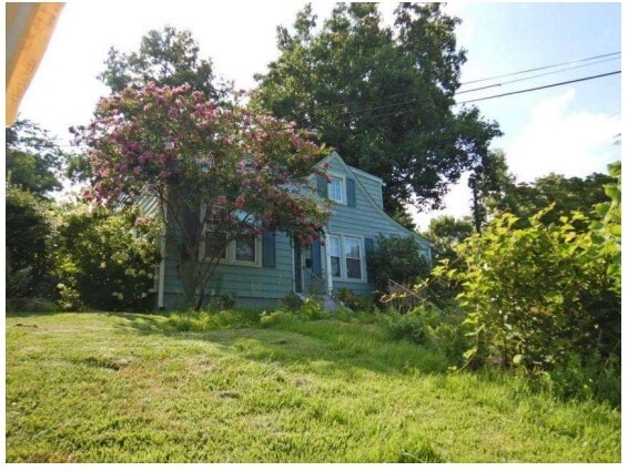
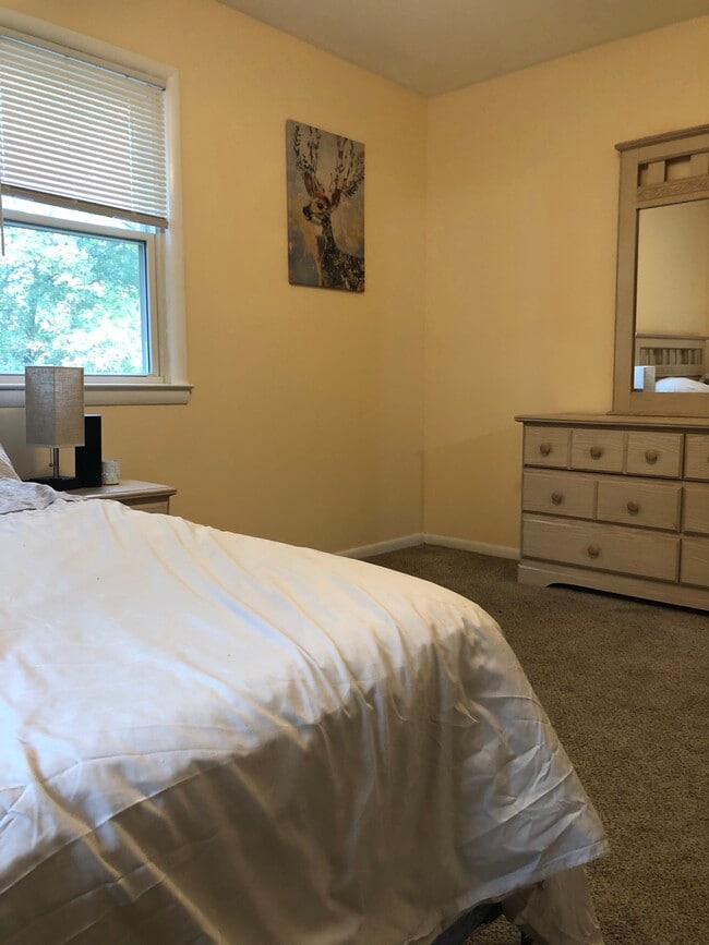
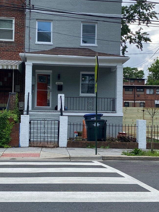
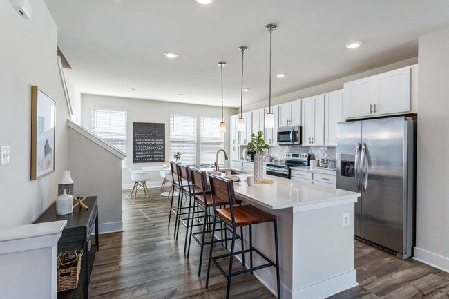
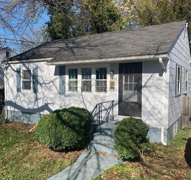
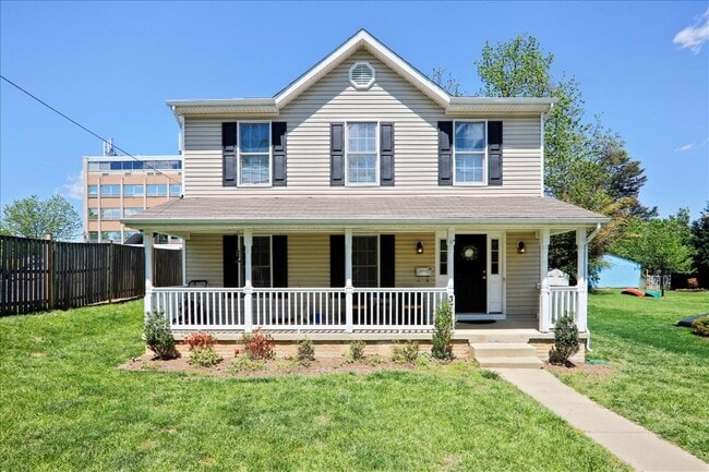
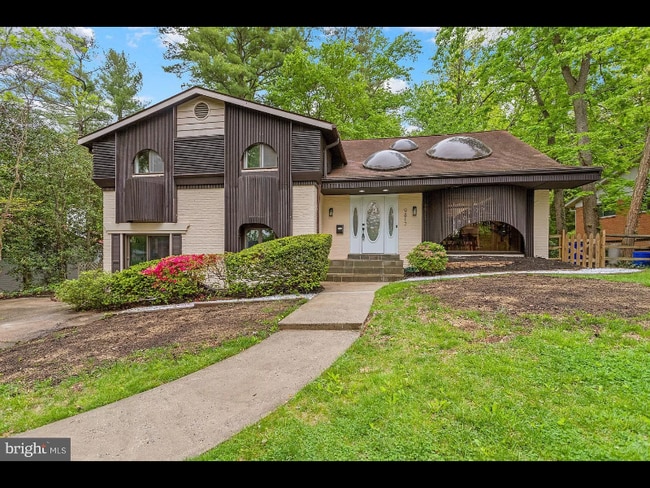
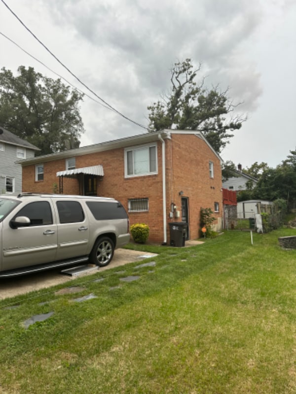
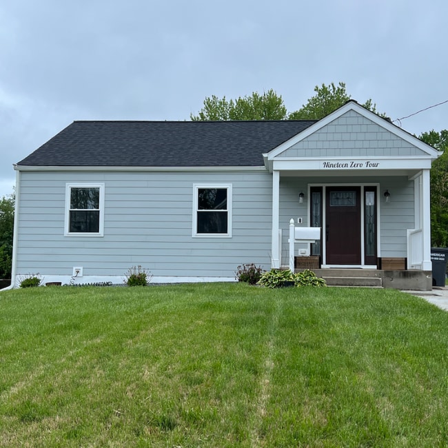
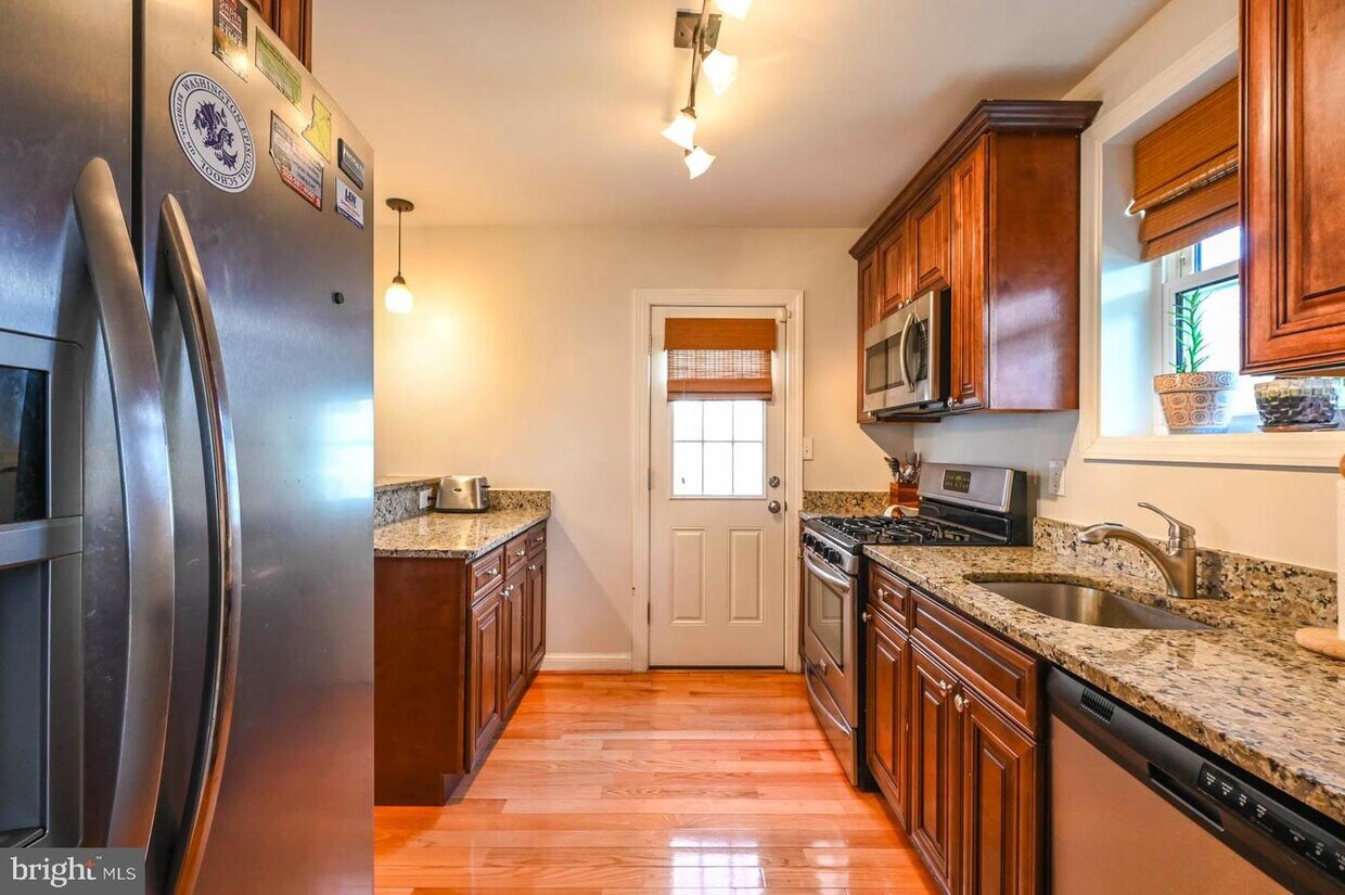
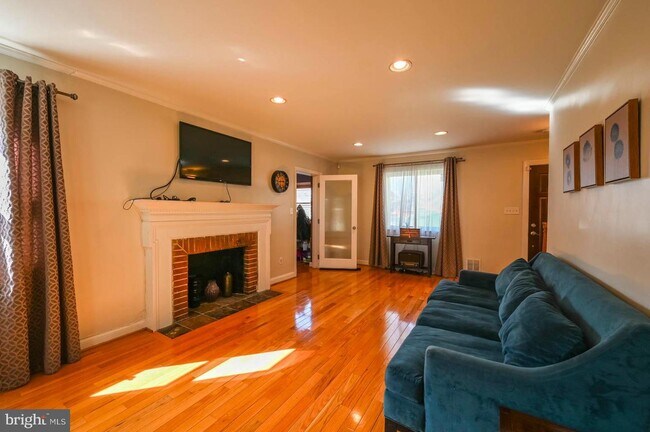
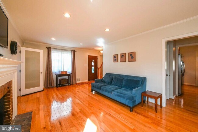
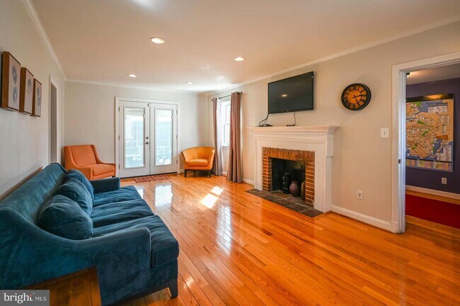
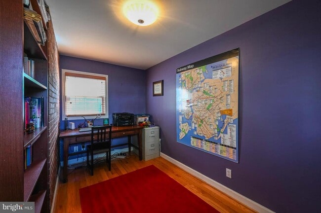
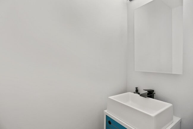
Welcome to this amazing 3 bedroom/3.5 bathroom single detached brick home. There are hardwood floors throughout the main and upper levels. Main level has a living room with a wood-burning fireplace and recessed lighting, dining room, renovated kitchen, office/den and half bath. Upper level has three bedrooms, with 2 full baths. Lower level has two rooms that can be used as recreation and play room, full bathroom, washer/dryer and provides access to a private, fully fenced backyard. Home has private off-street parking, covered 2-car carport with garage door entrance. Home is easily accessible to dining, shopping and green space. Home is located across the street from The Parks at Walter Reed. It is also within minutes from Safeway/Walmart (and incoming Whole Foods Market), blocks from Rock Creek Park and Fort Stevens Recreation Center, walking distance from Takoma Metro Station, and approximately a 10-minute drive from downtown Silver Spring. Gas is included in the rent.

1230 Aspen St Nw is a house located in District of Columbia County and the 20012 ZIP Code. This area is served by the District Of Columbia Public Schools attendance zone.

House Features

  • Fireplace
  • Basement
Location
1230 Aspen St NW, Washington,
DC 20012
Get Directions
| Edit

Under 30 minutes

Commute Time is calculated at rush hour.
Neighborhood

Brightwood's western edge consists of part of Rock Creek Park, a large park covering 1,754 acres. The park includes a tennis center, a golf course, horse trails, a playground, picnic areas, hiking trails, boathouses, and the historic site Fort DeRussy. Brightwood begins along Military Road and extends north to roughly Aspen Street. Fort Stevens, located near Georgia Avenue, is a popular historic park featuring Civil War fortifications and hiking and bicycling trails. Also located in the neighborhood, the Fort Stevens Recreation Center offers a playground, tennis court, and a water feature.

Situated north of 16th Street Heights and south of Shepherd Park, Brightwood is a popular and growing neighborhood, known for its row houses. Because it is in the northern section of DC, doesn't have a Metro station, and is completely residential without the presence of bars and nightlife, Brightwood hasn't been on the radar of most Washingtonians -- until now.

Learn more about living in Brightwood 

Below are rent ranges for similar nearby apartments

Amenities
  • Fireplace
  • Basement
Education
Colleges & Universities Distance
Drive: 2 min 1.5 mi
Drive: 7 min 3.4 mi
Drive: 9 min 4.6 mi
Drive: 9 min 4.7 mi
1230 Aspen St NW is within 2 minutes or 1.5 miles from Montgomery Coll., Takoma Park. It is also near Catholic University and Univ. District of Columbia.
Schools
Public Elementary School
Grades PK-5
483 Students
Attendance Zone
Public High School
Grades 9-12
1,093 Students
Attendance Zone
Private Elementary, Middle & High School
Grades PK-12
46 Students
Nearby
Private Elementary & Middle School
Grades PK-8
198 Students
Nearby
Transportation

Transportation options available in Washington include Takoma, located 0.9 mile from 1230 Aspen St NW. 1230 Aspen St NW is near Ronald Reagan Washington Ntl, located 10.2 miles or 19 minutes away, and Washington Dulles International, located 31.5 miles or 49 minutes away.

Transit / Subway Distance
Walk: 17 min 0.9 mi
Drive: 3 min 1.7 mi
Drive: 5 min 2.6 mi
Drive: 4 min 2.6 mi
Drive: 8 min 4.6 mi
Commuter Rail Distance
Drive: 4 min 1.6 mi
Drive: 12 min 5.4 mi
Drive: 11 min 6.2 mi
Drive: 12 min 6.3 mi
Drive: 13 min 6.7 mi
Airports Distance
Airports Distance
Ronald Reagan Washington Ntl
Drive: 19 min 10.2 mi
Washington Dulles International
Drive: 49 min 31.5 mi

Walkability Near 1230 Aspen St NW Washington, DC 20012

Getting Around
Moderately Walkable
Walkability
70 / 100
Strong Public Transit
Transit
80 / 100
Moderately Drivable
Drivability
60 / 100
Moderately Bikeable
Bikeability
60 / 100

Scores provided by

What do Walkability, Transit, Drivability, and Bikeability mean? Walkability measures the walking distance to day-to-day needs. Transit measures access to public transportation. Drivability measures congestion, parking availability, and access to major roads. Bikeability measures the suitability for cycling. How It Works
-
Soundscore
- / 100

Traffic

-

Airport

-

Businesses

-

Scores provided by

HowLoud What is a Sound Score Rating? A Sound Score Rating aggregates noise caused by vehicle traffic, airplane traffic and local sources. How It Works
Points of Interest

Time and distance from 1230 Aspen St NW.

Shopping Centers Distance
Walk: 11 min 0.6 mi
Walk: 21 min 1.1 mi
Walk: 22 min 1.2 mi
1230 Aspen St NW has 3 shopping centers within 1.2 miles, which is about a 22-minute walk. The miles and minutes will be for the farthest away property.
Parks and Recreation Distance
Montgomery College Planetarium
Drive: 3 min 1.6 mi
Rock Creek Park
Drive: 7 min 2.4 mi
National Zoo
Drive: 8 min 4.1 mi
Hillwood Estate, Museum & Gardens
Drive: 8 min 4.3 mi
Audubon Naturalist-Woodend Sanctuary
Drive: 11 min 4.6 mi
1230 Aspen St NW has 5 parks within 4.6 miles, including Montgomery College Planetarium, Rock Creek Park, and Audubon Naturalist-Woodend Sanctuary.
Hospitals Distance
Hospitals Distance
Drive: 6 min 3.8 mi
Drive: 7 min 4.0 mi
Drive: 7 min 4.1 mi
1230 Aspen St NW has 3 hospitals within 4.1 miles, the nearest is Holy Cross Hospital which is 3.8 miles away and a 6 minute drive.
Military Bases Distance
Drive: 6 min 3.4 mi
Drive: 13 min 6.4 mi
Drive: 18 min 8.6 mi
1230 Aspen St NW has 3 military bases within 8.6 miles, the nearest is US Soldiers & Airmens Home which is 3.4 miles away and a 6 minute drive.

You May Also Like

Similar Rentals Nearby