

$2,500 / Month

12230 S McDaniels St

,

Alsip, IL 60803

Share Listing
Favorites
773-448-1269
  • Bedrooms

    3

  • Bathrooms

    2

  • Square Feet

    1,100 sq ft

  • Available

    Available Now

12230 S McDaniels St
Share Listing
Favorites

About This Home

Available Now

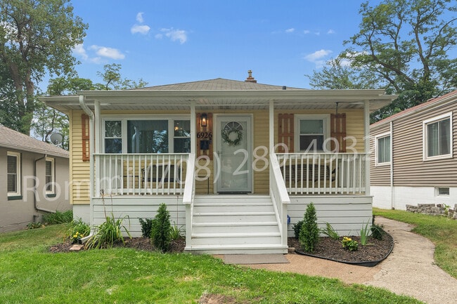
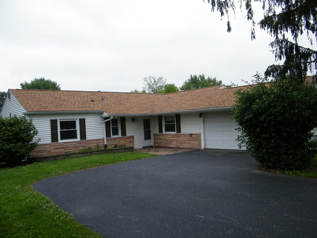
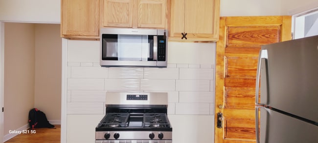
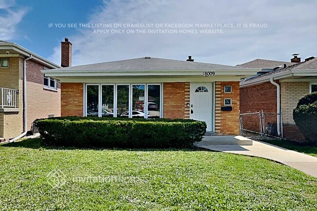
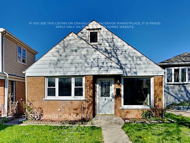
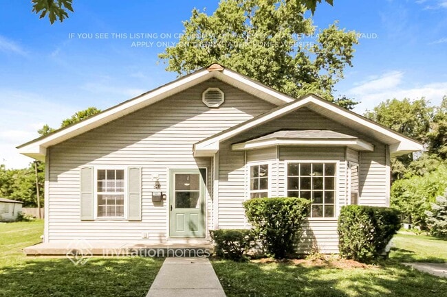
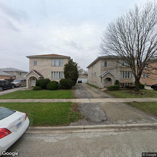
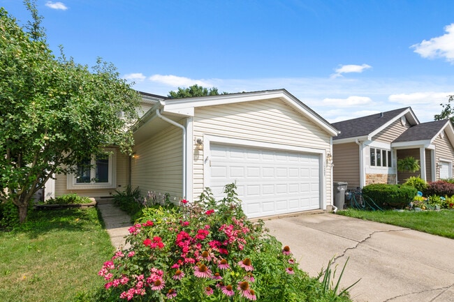
Welcome home to this beautifully updated rental featuring modern finishes and everyday convenience. This spacious unit offers durable vinyl flooring throughout,complemented by sleek stainless steel appliances in the kitchen and stylish ceramic tile finishes in both the kitchen and bathroom. Enjoy the comfort of having your own in-unit washer and dryer,making laundry day effortless. Step outside onto your private balcony - perfect for relaxing,enjoying fresh air,or your morning coffee. Conveniently located near shopping,dining,transportation,and more,this rental combines comfort,functionality,and style in one great space. Don't miss your opportunity to make this your next home! MLS# MRD12761229

12230 S McDaniels St is a house located in Cook County and the 60803 ZIP Code.

* Price shown is base rent. Excludes user-selected optional fees and variable or usage-based fees and required charges due at or prior to move-in or at move-out. Price, availability, fees, and any applicable rent special are subject to change without notice.
* Square footage definitions vary. Displayed square footage is approximate.

House Features

  • Air Conditioning

Contact

  • Listed by Caprice Jackson | Real Broker LLC
  • Phone Number
  • Contact
  • Source
    Midwest Real Estate Data LLC
Copyright © 2026 Midwest Real Estate Data, LLC. All rights reserved. All information provided by the listing agent/broker is deemed reliable but is not guaranteed and should be independently verified.
| Edit

Under 30 minutes

Commute Time is calculated at rush hour.
City - Alsip

Alsip is a Cook County village that sits squarely in the southwest suburbs of Chicago, close enough to the city to make a downtown commute realistic while still offering the quieter pace of a tight-knit community. Named after Frank Alsip, whose brickyard opened here in 1885, the village grew steadily after the Tri-State Tollway arrived in 1959, eventually reaching a population of nearly 19,000. Its location along Interstate 294 and Cicero Avenue keeps residents well connected to Oak Lawn to the north and the broader Chicago metro beyond.

The housing stock leans toward single-family homes and garden-style apartment communities, making it a solid option for renters who want more square footage than Chicago proper tends to offer at a comparable price. Rental options range from low-rise apartment communities to townhome-style units with outdoor space.

Learn more about living in Alsip 
Amenities
  • Air Conditioning
Education
Colleges & Universities Distance
Drive: 11 min 4.7 mi
Drive: 12 min 6.6 mi
Drive: 14 min 7.6 mi
Drive: 20 min 9.8 mi
12230 S McDaniels St is within 11 minutes or 4.7 miles from Saint Xavier University. It is also near Richard J. Daley College and Moraine Valley Comm. Coll..
Transportation

Transportation options available in Alsip include Midway Terminal, located 8.2 miles from 12230 S McDaniels St. 12230 S McDaniels St is near Chicago Midway International, located 9.2 miles or 16 minutes away, and Chicago O'Hare International, located 31.8 miles or 43 minutes away.

Transit / Subway Distance
Drive: 14 min 8.2 mi
Drive: 18 min 10.1 mi
Drive: 17 min 10.1 mi
Drive: 20 min 11.2 mi
Drive: 19 min 11.3 mi
Commuter Rail Distance
Drive: 8 min 3.4 mi
Drive: 7 min 4.0 mi
Drive: 9 min 4.5 mi
Drive: 9 min 4.5 mi
Drive: 9 min 4.6 mi
Airports Distance
Airports Distance
Chicago Midway International
Drive: 16 min 9.2 mi
Chicago O'Hare International
Drive: 43 min 31.8 mi
Getting Around
Fairly Walkable
Walkability
40 / 100
Limited Public Transit
Transit
30 / 100
Exceptionally Drivable
Drivability
100 / 100
Fairly Bikeable
Bikeability
50 / 100

Scores provided by

What do Walkability, Transit, Drivability, and Bikeability mean? Walkability measures the walking distance to day-to-day needs. Transit measures access to public transportation. Drivability measures congestion, parking availability, and access to major roads. Bikeability measures the suitability for cycling. How It Works
-
Soundscore
- / 100

Traffic

-

Airport

-

Businesses

-

Scores provided by

HowLoud What is a Sound Score Rating? A Sound Score Rating aggregates noise caused by vehicle traffic, airplane traffic and local sources. How It Works
Points of Interest

Time and distance from 12230 S McDaniels St.

Shopping Centers Distance
Walk: 6 min 0.3 mi
Walk: 11 min 0.6 mi
12230 S McDaniels St has 2 shopping centers within 0.6 mile, which is about a 11-minute walk. The miles and minutes will be for the farthest away property.
Parks and Recreation Distance
Mt. Greenwood Park
Drive: 6 min 3.0 mi
Children's Museum in Oak Lawn
Drive: 7 min 4.2 mi
Arrowhead Lake
Drive: 8 min 4.4 mi
Lake Katherine Nature Center and Botanic Gardens
Drive: 9 min 4.8 mi
Munroe Park
Drive: 11 min 5.5 mi
12230 S McDaniels St has 5 parks within 5.5 miles, including Mt. Greenwood Park, Children's Museum in Oak Lawn, and Lake Katherine Nature Center and Botanic Gardens.
Hospitals Distance
Hospitals Distance
Drive: 6 min 4.0 mi
Drive: 9 min 5.4 mi
Drive: 10 min 6.1 mi
12230 S McDaniels St has 3 hospitals within 6.1 miles, the nearest is Advocate Christ Hospital & Medical Center which is 4.0 miles away and a 6 minute drive.
Military Bases Distance
Drive: 45 min 31.9 mi
Drive: 55 min 36.9 mi
Drive: 66 min 39.5 mi
12230 S McDaniels St has 3 military bases within 39.5 miles, the nearest is US Military Reservation Naperville which is 31.9 miles away and a 45 minute drive.

You May Also Like

Similar Rentals Nearby