
$850
/ Month
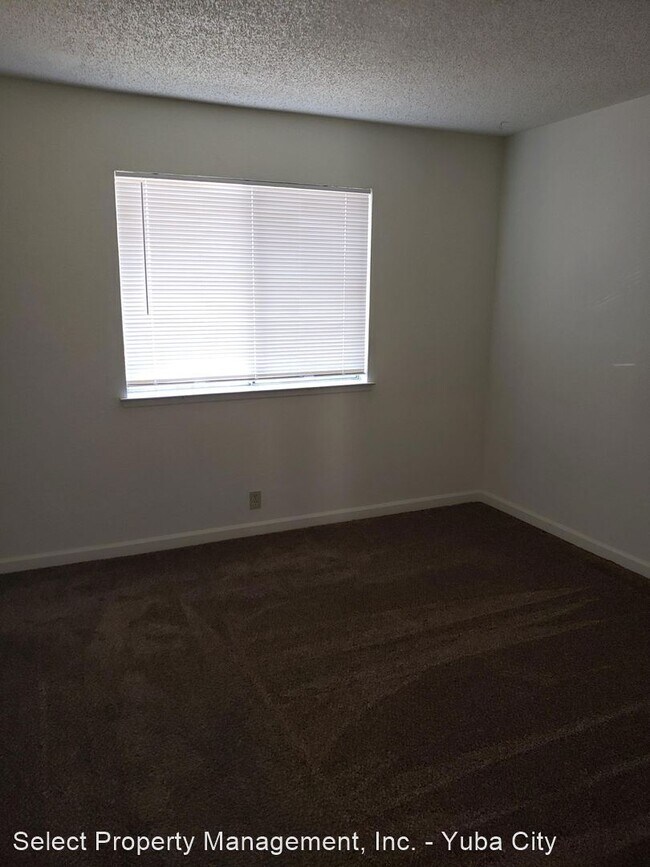
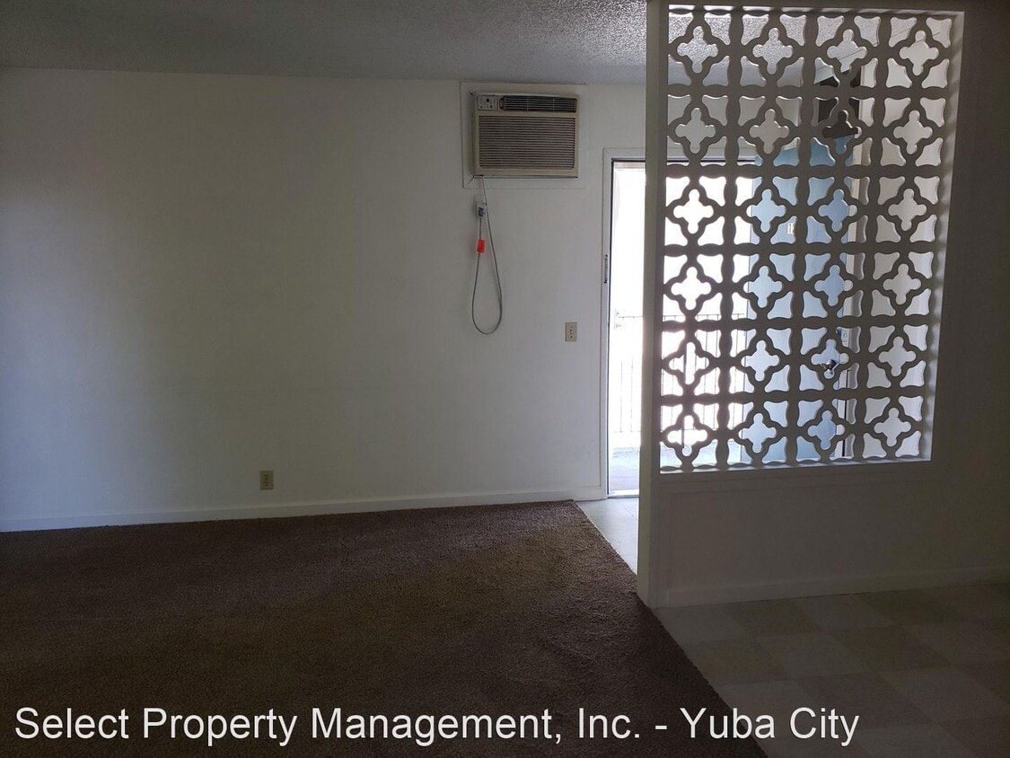
1221 B St
Yuba City, CA 95991
Favorites
1221 B St

Favorites
Check Back Soon for Upcoming Availability
| Beds | Baths | Average SF |
|---|---|---|
| 1 Bedroom 1 Bedroom 1 Br | 1 Bath 1 Bath 1 Ba | — |
About This Property
(530) 671-8181 - - (RLNE5348436)
1221 B St is an apartment community located in Sutter County and the 95991 ZIP Code.
1221 B St,
Yuba City,
CA
95991
Yuba City sits along the Feather River in northern California, about 40 miles north of Sacramento, and is the county seat of Sutter County. The city is known for its deep agricultural roots and is home to Sunsweet Growers Incorporated, the largest dried fruit processing plant in the world. Yuba City also sits near the Sutter Buttes, widely recognized as the smallest mountain range in the world. If you are searching for apartments for rent in Yuba City, you will find a range of options at rents that are notably more affordable than the California state average.
Renters in Yuba City can choose from garden-style apartment communities, single-family homes, townhomes, and condos spread across a mix of neighborhoods. Downtown Yuba City along Plumas Street features boutique shops, local restaurants, and easy walkability. The Yuba Sutter Mall area offers national retailers and everyday conveniences close to many apartment communities.
Learn more about living in Yuba City
Education
| Colleges & Universities | Distance | ||
|---|---|---|---|
| Colleges & Universities | Distance | ||
| Drive: | 14 min | 6.5 mi | |
| Drive: | 54 min | 39.9 mi |
1221 B St is within 14 minutes or 6.5 miles from Yuba College, Yuba College. It is also near Sierra College, Rocklin Campus.
Walkability Near 1221 B St Yuba City, CA 95991
Getting Around
 What do Walkability, Transit, Drivability, and Bikeability mean?
Walkability measures the walking distance to day-to-day needs.
Transit measures access to public transportation.
Drivability measures congestion, parking availability, and access to major roads.
Bikeability measures the suitability for cycling.
How It Works
What do Walkability, Transit, Drivability, and Bikeability mean?
Walkability measures the walking distance to day-to-day needs.
Transit measures access to public transportation.
Drivability measures congestion, parking availability, and access to major roads.
Bikeability measures the suitability for cycling.
How It Works
Moderately Walkable
Walkability
60
/ 100
Limited Public Transit
Transit
30
/ 100
Very Drivable
Drivability
80
/ 100
Fairly Bikeable
Bikeability
40
/ 100
Scores provided by
Active
Soundscore™
70
/ 100
Traffic
BusyAirport
CalmBusinesses
ActiveScores provided by
HowLoud What is a Sound Score Rating? A Sound Score Rating aggregates noise caused by vehicle traffic, airplane traffic and local sources. How It WorksYou May Also Like
Similar Rentals Nearby


What Are Walk Score®, Transit Score®, and Bike Score® Ratings?
Walk Score® measures the walkability of any address. Transit Score® measures access to public transit. Bike Score® measures the bikeability of any address.
What is a Sound Score Rating?
A Sound Score Rating aggregates noise caused by vehicle traffic, airplane traffic and local sources.
1221 B St
Yuba City, CA 95991