

$1,695
/ Month
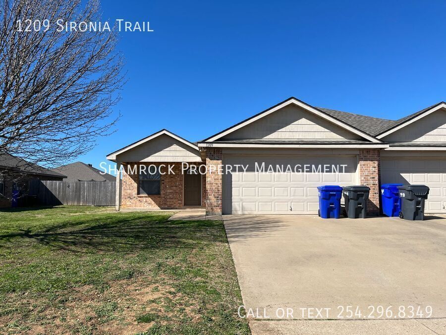
1209 Sironia Trail
McGregor, TX 76657
2 Weeks Ago
|
Edit
Favorites
-
Bedrooms
3
-
Bathrooms
2
-
Square Feet
1,523 sq ft
1209 Sironia Trail

Favorites
About This Home
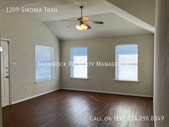
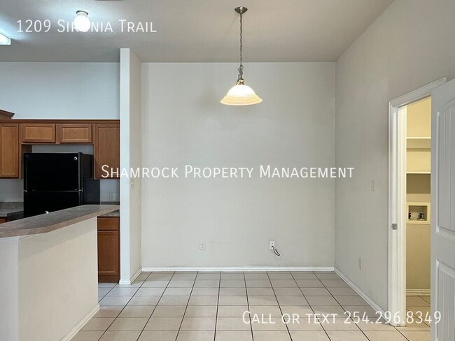
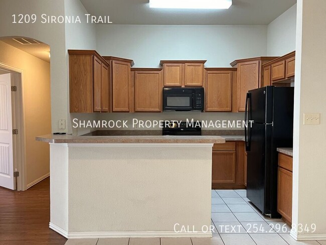
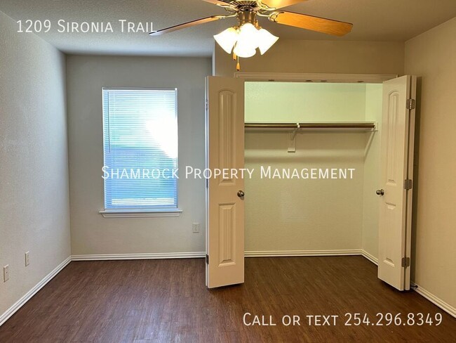
---- SCHEDULE A SHOWING ONLINE AT: ---- Apply now: Larger 3-bedroom duplex in Sunwest Village conveniently located off Highway 84 between Waco and McGregor. Great kitchen with refrigerator, stove, microwave, and dishwasher included. Small privacy fenced yard and two car garage. Built In 2006 Midway Isd Refrigerator Included
1209 Sironia Trail is a house located in Mclennan County and the 76657 ZIP Code.
* Price shown is base rent. Excludes user-selected optional fees and variable or usage-based fees and required charges due at or prior to move-in or at move-out. Price, availability, fees, and any applicable rent special are subject to change without notice.
* Square footage definitions vary. Displayed square footage is approximate.
House Features
- Washer/Dryer Hookup
- Air Conditioning
Fees and Policies
The fees listed below are community-provided and may exclude utilities or add-ons. All payments are made directly to the property and are non-refundable unless otherwise specified.
- Dogs Allowed
-
Fees not specified
- Cats Allowed
-
Fees not specified
- Parking
-
Garage--Assigned Parking
-
Other--Assigned Parking
Contact
- Listed by Leasing
Location
Get Directions
Amenities
- Washer/Dryer Hookup
- Air Conditioning
Education
| Colleges & Universities | Distance | ||
|---|---|---|---|
| Colleges & Universities | Distance | ||
| Drive: | 28 min | 21.4 mi | |
| Drive: | 31 min | 22.3 mi | |
| Drive: | 37 min | 27.1 mi | |
| Drive: | 40 min | 28.4 mi |
1209 Sironia Trail is within 28 minutes or 21.4 miles from Baylor University. It is also near McLennan Community College and Texas State Technical College.
Getting Around
 What do Walkability, Transit, Drivability, and Bikeability mean?
Walkability measures the walking distance to day-to-day needs.
Transit measures access to public transportation.
Drivability measures congestion, parking availability, and access to major roads.
Bikeability measures the suitability for cycling.
How It Works
What do Walkability, Transit, Drivability, and Bikeability mean?
Walkability measures the walking distance to day-to-day needs.
Transit measures access to public transportation.
Drivability measures congestion, parking availability, and access to major roads.
Bikeability measures the suitability for cycling.
How It Works
Fairly Walkable
Walkability
40
/ 100
Very Drivable
Drivability
80
/ 100
Somewhat Bikeable
Bikeability
30
/ 100
Scores provided by
-
Soundscore™
-
/ 100
Traffic
-Airport
-Businesses
-Scores provided by
HowLoud What is a Sound Score Rating? A Sound Score Rating aggregates noise caused by vehicle traffic, airplane traffic and local sources. How It WorksYou May Also Like
Similar Rentals Nearby


What Are Walk Score®, Transit Score®, and Bike Score® Ratings?
Walk Score® measures the walkability of any address. Transit Score® measures access to public transit. Bike Score® measures the bikeability of any address.
What is a Sound Score Rating?
A Sound Score Rating aggregates noise caused by vehicle traffic, airplane traffic and local sources.
1209 Sironia Trail
McGregor, TX 76657