
$950
/ Month
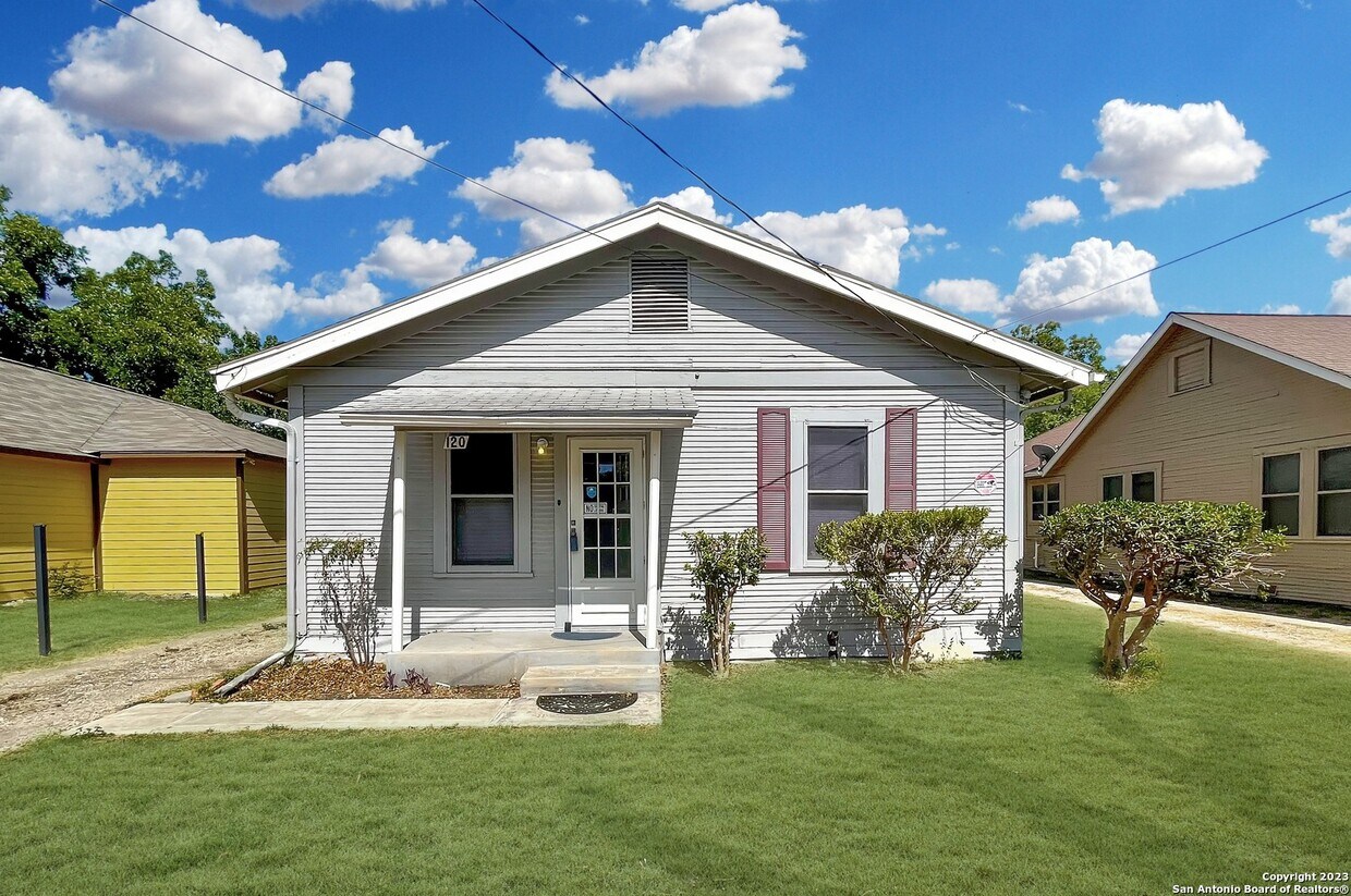
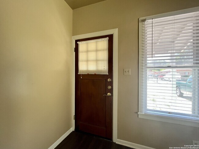
120 Gifford St
San Antonio, TX 78211
Favorites
-
Bedrooms
3
-
Bathrooms
1
-
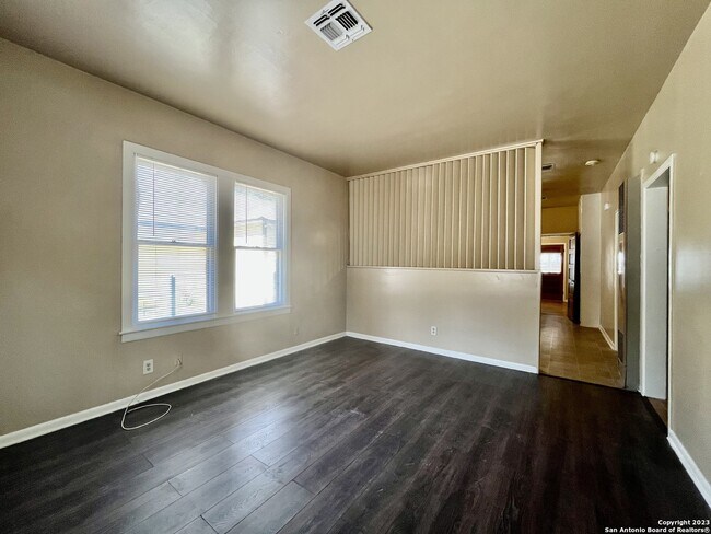
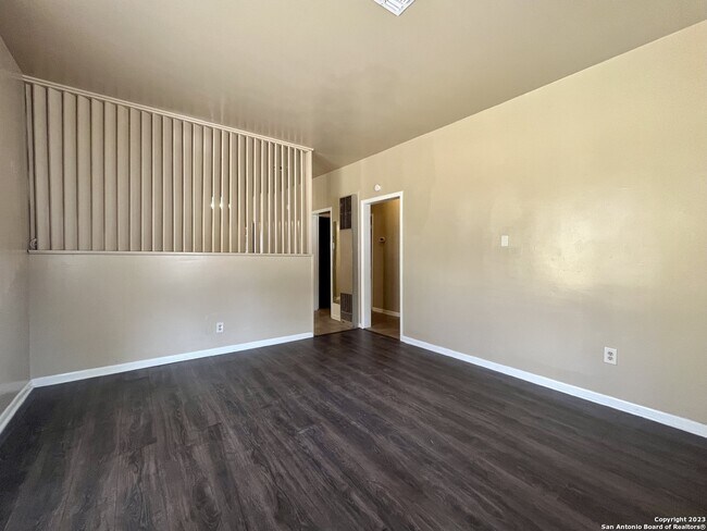
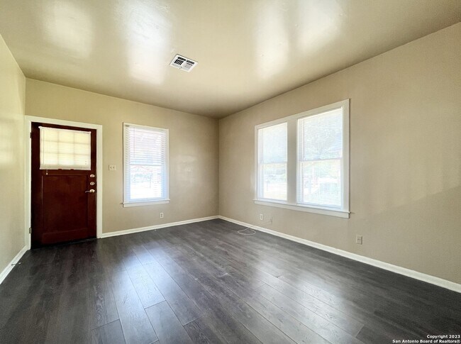
Square Feet
1,144 sq ft
120 Gifford St

Favorites
Contact
- Listed by Locayt
Location
Get Directions
Quintana Community borders Lackland Air Force Base in southwest San Antonio. The residential sections are interspersed with industry, containing such businesses as Fiesta Warehousing & Distribution, GBW Railcar Services, and CIG Logistics Metal Yard. Several restaurants, shops, and other businesses are located along Quintana Road. A large shopping area is located off Somerset Road and Military Drive, including Sam’s Club, Burlington, and Target. This is also the location of Southwest General Hospital.
Normoyle Park provides a community center, tennis courts, ball fields, a swimming pool, and a basketball court. This park is located off Culberson Avenue. Several other parks are located within a short distance of Quintana, including the 505-acre Pearsall Park, which is adjacent to Quintana on the southwest side. This park includes a playground, the Pearsall Water-Skate Park, picnic areas, and a dog park.
Learn more about living in Quintana
Education
| Colleges & Universities | Distance | ||
|---|---|---|---|
| Colleges & Universities | Distance | ||
| Drive: | 5 min | 1.5 mi | |
| Drive: | 9 min | 4.4 mi | |
| Drive: | 12 min | 6.1 mi | |
| Drive: | 13 min | 6.5 mi |
120 Gifford St is within 5 minutes or 1.5 miles from St. Philip's College, SWC. It is also near Palo Alto College and Our Lady of the Lake Univ..
Getting Around
 What do Walkability, Transit, Drivability, and Bikeability mean?
Walkability measures the walking distance to day-to-day needs.
Transit measures access to public transportation.
Drivability measures congestion, parking availability, and access to major roads.
Bikeability measures the suitability for cycling.
How It Works
What do Walkability, Transit, Drivability, and Bikeability mean?
Walkability measures the walking distance to day-to-day needs.
Transit measures access to public transportation.
Drivability measures congestion, parking availability, and access to major roads.
Bikeability measures the suitability for cycling.
How It Works
Fairly Walkable
Walkability
50
/ 100
Limited Public Transit
Transit
30
/ 100
Exceptionally Drivable
Drivability
100
/ 100
Somewhat Bikeable
Bikeability
30
/ 100
Scores provided by
-
Soundscore™
-
/ 100
Traffic
-Airport
-Businesses
-Scores provided by
HowLoud What is a Sound Score Rating? A Sound Score Rating aggregates noise caused by vehicle traffic, airplane traffic and local sources. How It WorksYou May Also Like
Similar Rentals Nearby


What Are Walk Score®, Transit Score®, and Bike Score® Ratings?
Walk Score® measures the walkability of any address. Transit Score® measures access to public transit. Bike Score® measures the bikeability of any address.
What is a Sound Score Rating?
A Sound Score Rating aggregates noise caused by vehicle traffic, airplane traffic and local sources.

120 Gifford St
San Antonio, TX 78211