
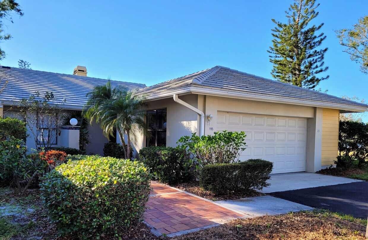
115 Southampton Pl N
Venice, FL 34293
-
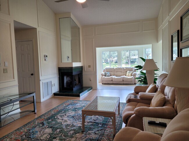
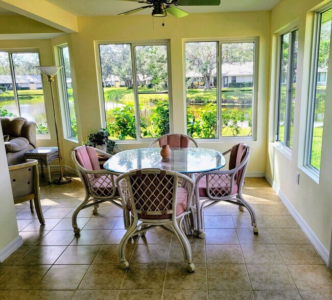
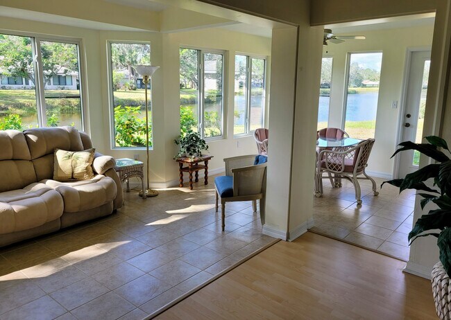
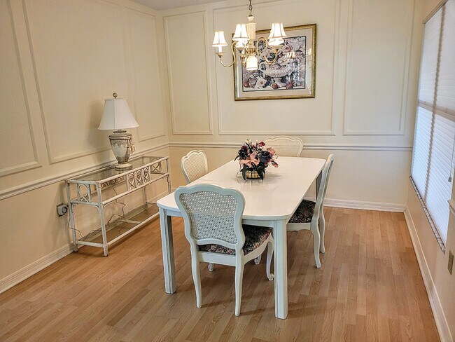
Bedrooms
2
-
Bathrooms
3
-
Square Feet
1,678 sq ft
-
Available
Available Jul 1

Contact
- Contact
The peaceful waterfront community of Venice and Englewood sits on Florida’s west coast overlooking the Gulf of Mexico. Originally established to provide lemon groves, the town retains a natural Old Florida feel with few buildings reaching higher than three or four stories. Fort Myers and Sarasota lie within commuting distance, and Sarasota Bradenton International Airport lies just 30 miles away.
Dotted with charming 50s-style beach homes and vibrant apartment rentals, the area is quintessentially Florida. Back on the mainland, you'll find plenty of golf courses and several parks where residents and visitors can enjoy outdoor activities such as fishing, cycling, and kayaking. With its stunning, unspoiled beaches and a pleasant year-round climate, you’ll feel as though you’re on a permanent vacation when you live in an Englewood/Venice apartment.
Learn more about living in Venice/Englewood| Colleges & Universities | Distance | ||
|---|---|---|---|
| Colleges & Universities | Distance | ||
| Drive: | 10 min | 3.9 mi | |
| Drive: | 43 min | 30.3 mi | |
| Drive: | 49 min | 32.7 mi | |
| Drive: | 51 min | 35.5 mi |
Scores provided by
Traffic
-Airport
-Businesses
-Scores provided by
HowLoud What is a Sound Score Rating? A Sound Score Rating aggregates noise caused by vehicle traffic, airplane traffic and local sources. How It Works115 Southampton Pl N Photos
What Are Walk Score®, Transit Score®, and Bike Score® Ratings?
Walk Score® measures the walkability of any address. Transit Score® measures access to public transit. Bike Score® measures the bikeability of any address.
What is a Sound Score Rating?
A Sound Score Rating aggregates noise caused by vehicle traffic, airplane traffic and local sources.
115 Southampton Pl N
Venice, FL 34293