


$3,800
Total Monthly Price
Total Monthly Price
New
Prices include all required monthly fees.
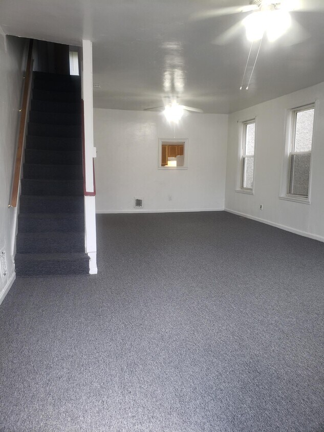
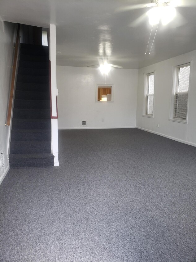
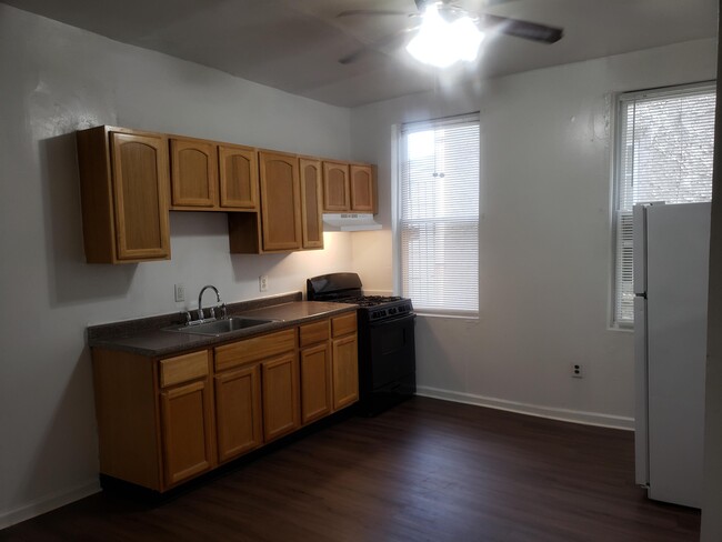
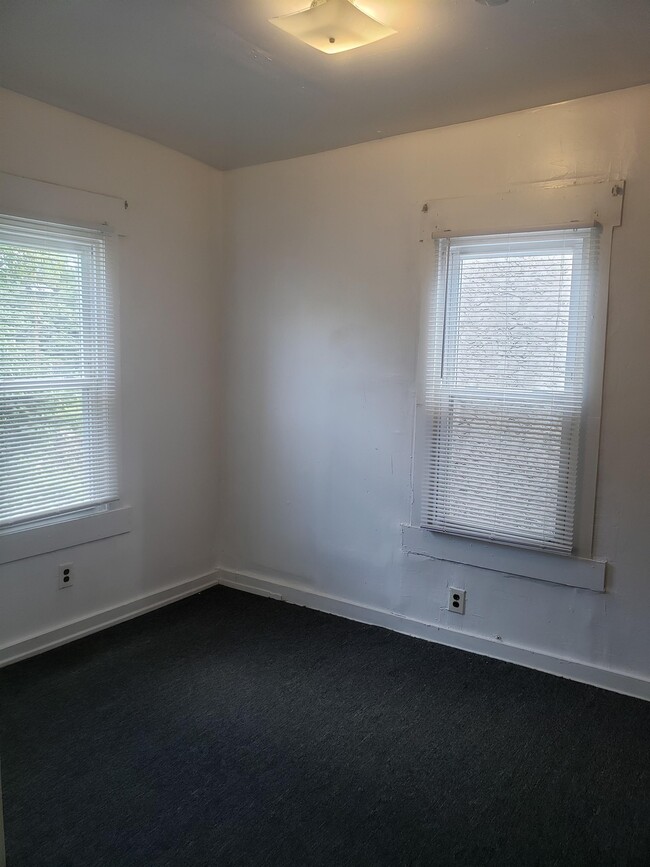
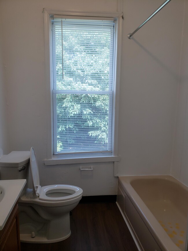
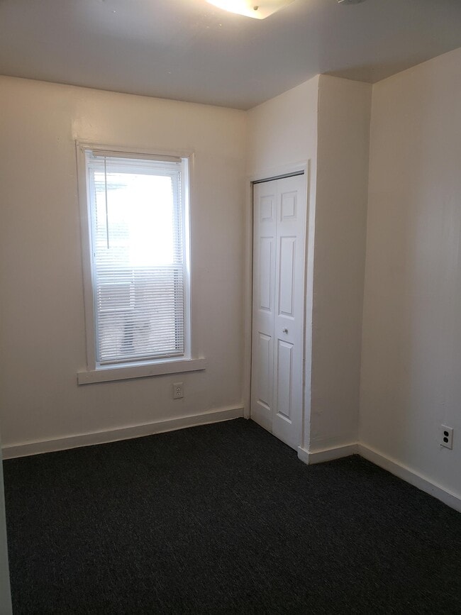
House for Rent
3 Beds, 3.5 Baths, 2,703 sq ft