
$1,500
/ Month
1115 N Raymond Ave Unit 3
Pasadena, CA 91103
2 Weeks Ago
Favorites
1115 N Raymond Ave Unit 3

Favorites
Check Back Soon for Upcoming Availability
| Beds | Baths | Average SF |
|---|---|---|
| 1 Bedroom 1 Bedroom 1 Br | 1 Bath 1 Bath 1 Ba | 500 SF |
Fees and Policies
The fees below are based on community-supplied data and may exclude additional fees and utilities.
- Parking
-
Surface Lot--
Details
Utilities Included
-
Gas
-
Trash Removal
Property Information
-
5 units
About This Property
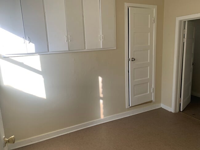
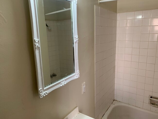
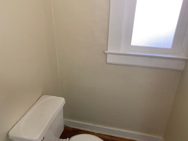
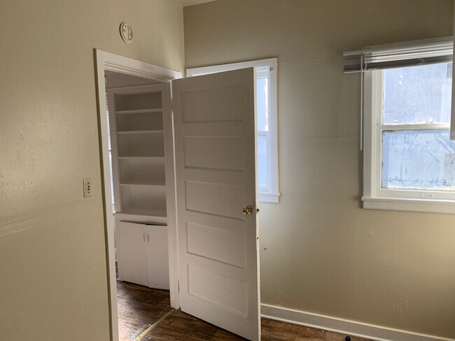
Apartment in Pasadena. A Block from Fair Oaks shops and restaurants.
1115 N Raymond Ave is an apartment community located in Los Angeles County and the 91103 ZIP Code.
Apartment Features
- Laundry Facilities
Location
Get Directions
Near the San Gabriel Mountains, where I-210 meets State Route 134 and becomes the Foothill Freeway, rests Pasadena’s Garfield Heights neighborhood. Primarily a residential area, Garfield Heights contains a number of markets, churches, and temples. Garfield Heights residents enjoy access to neighboring parks such as La Pintoresca Park and City of Pasadena Robinson Park.
There are a host of amenities located within close proximity to Garfield Heights. Among the many amenities are the Rose Bowl Stadium, Kidspace Children’s Museum, Norton Simon Museum, Brookside Golf and Country Club, Pasadena Convention Center, Paseo Colorado, and the California Institute of Technology.
Served by several Metro Local lines and Pasadena Transit routes, getting around Garfield Height is a breeze.
Learn more about living in Garfield HeightsBelow are rent ranges for similar nearby apartments
Amenities
- Laundry Facilities
Expenses
Utilities Included
Gas, Trash Removal
Included
Education
| Colleges & Universities | Distance | ||
|---|---|---|---|
| Colleges & Universities | Distance | ||
| Drive: | 4 min | 1.8 mi | |
| Drive: | 7 min | 3.2 mi | |
| Drive: | 9 min | 3.3 mi | |
| Drive: | 8 min | 3.5 mi |
1115 N Raymond Ave Unit 3 is within 4 minutes or 1.8 miles from Fuller Theological Seminary. It is also near Pasadena City College and Art Center College of Design.
Transportation options available in Pasadena include Memorial Park Station, located 1.5 miles from 1115 N Raymond Ave Unit 3. 1115 N Raymond Ave Unit 3 is near Bob Hope, located 17.2 miles or 24 minutes away, and Los Angeles International, located 25.8 miles or 41 minutes away.
| Transit / Subway | Distance | ||
|---|---|---|---|
| Transit / Subway | Distance | ||
|
|
Drive: | 4 min | 1.5 mi |
|
|
Drive: | 5 min | 1.8 mi |
|
|
Drive: | 4 min | 2.0 mi |
|
|
Drive: | 6 min | 2.4 mi |
|
|
Drive: | 5 min | 3.0 mi |
| Commuter Rail | Distance | ||
|---|---|---|---|
| Commuter Rail | Distance | ||
|
|
Drive: | 13 min | 9.7 mi |
|
|
Drive: | 19 min | 10.7 mi |
|
|
Drive: | 20 min | 10.8 mi |
|
|
Drive: | 21 min | 12.0 mi |
| Drive: | 22 min | 14.8 mi |
| Airports | Distance | ||
|---|---|---|---|
| Airports | Distance | ||
|
Bob Hope
|
Drive: | 24 min | 17.2 mi |
|
Los Angeles International
|
Drive: | 41 min | 25.8 mi |
Time and distance from 1115 N Raymond Ave Unit 3.
| Shopping Centers | Distance | ||
|---|---|---|---|
| Shopping Centers | Distance | ||
| Walk: | 6 min | 0.4 mi | |
| Walk: | 16 min | 0.8 mi | |
| Walk: | 18 min | 1.0 mi |
1115 N Raymond Ave Unit 3 has 3 shopping centers within 1.0 mile, which is about a 18-minute walk. The miles and minutes will be for the farthest away property.
| Parks and Recreation | Distance | ||
|---|---|---|---|
| Parks and Recreation | Distance | ||
|
Kidspace Children's Museum
|
Drive: | 4 min | 1.7 mi |
|
Jet Propulsion Laboratory
|
Drive: | 5 min | 2.3 mi |
|
Eaton Canyon Nature Center
|
Drive: | 8 min | 3.9 mi |
|
Huntington Botanical Gardens
|
Drive: | 11 min | 4.6 mi |
|
Descanso Gardens
|
Drive: | 10 min | 5.8 mi |
1115 N Raymond Ave Unit 3 has 5 parks within 5.8 miles, including Kidspace Children's Museum, Jet Propulsion Laboratory, and Eaton Canyon Nature Center.
| Hospitals | Distance | ||
|---|---|---|---|
| Hospitals | Distance | ||
| Drive: | 5 min | 2.2 mi | |
| Drive: | 9 min | 5.0 mi | |
| Drive: | 9 min | 5.7 mi |
1115 N Raymond Ave Unit 3 has 3 hospitals within 5.7 miles, the nearest is Huntington Memorial Hospital which is 2.2 miles away and a 5 minute drive.
| Military Bases | Distance | ||
|---|---|---|---|
| Military Bases | Distance | ||
| Drive: | 38 min | 27.3 mi | |
| Drive: | 48 min | 30.8 mi |
1115 N Raymond Ave Unit 3 is 27.3 miles from Los Angeles Air Force Base, and is convenient to other military bases, including Los Alamitos Army Airfield.
You May Also Like
Similar Rentals Nearby


 - Violet on Virgil")

 - AVA Burbank")


What Are Walk Score®, Transit Score®, and Bike Score® Ratings?
Walk Score® measures the walkability of any address. Transit Score® measures access to public transit. Bike Score® measures the bikeability of any address.
What is a Sound Score Rating?
A Sound Score Rating aggregates noise caused by vehicle traffic, airplane traffic and local sources
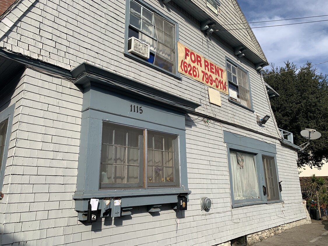
1115 N Raymond Ave
Pasadena, CA 91103