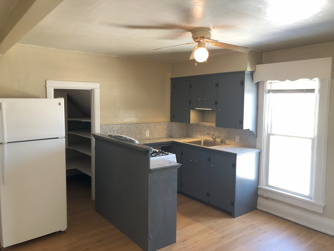
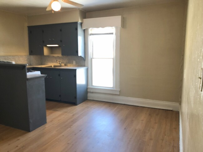
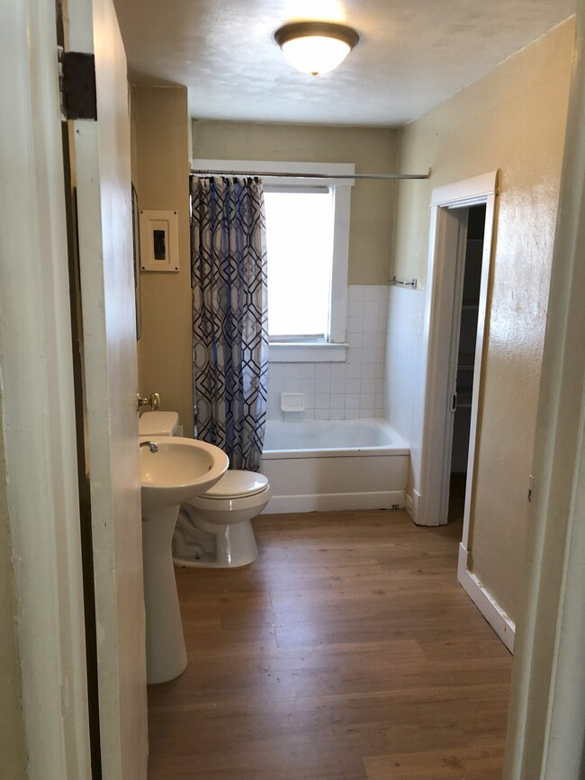
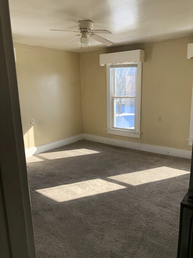
$600 Total Monthly Price

111 Hay Ave Unit 113.5 Upper

,

Brookville, OH 45309

Share Listing
Favorites
111 Hay Ave Unit 113.5 Upper
Share Listing
Favorites

Check Back Soon for Upcoming Availability

Beds Baths Average SF
1 Bedroom 1 Bedroom 1 Br 1 Bath 1 Bath 1 Ba 570 SF

Fees and Policies

The fees listed below are community-provided and may exclude utilities or add-ons. All payments are made directly to the property and are non-refundable unless otherwise specified.

Details

Utilities Included

  • Water
  • Trash Removal
  • Sewer

Property Information

  • 4 units

About This Property

111 Hay Ave is an apartment community located in Montgomery County and the 45309 ZIP Code.

Apartment Features

  • Smoke Free
Location
111 Hay Ave, Brookville,
OH 45309
Get Directions
| Edit

Under 30 minutes

Commute Time is calculated at rush hour.
Amenities
  • Smoke Free
Expenses
Utilities Included
Water, Trash Removal, Sewer Included
Education
Colleges & Universities Distance
Drive: 25 min 17.0 mi
Drive: 31 min 19.2 mi
Drive: 39 min 25.5 mi
Drive: 55 min 35.8 mi
111 Hay Ave Unit 113.5 Upper is within 25 minutes or 17.0 miles from Sinclair Community College. It is also near University of Dayton and Wright State University.
Transportation

111 Hay Ave Unit 113.5 Upper is near James M Cox Dayton International, located 16.1 miles or 23 minutes away.

Airports Distance
Airports Distance
James M Cox Dayton International
Drive: 23 min 16.1 mi

Walkability Near 111 Hay Ave Brookville, OH 45309

Getting Around
Fairly Walkable
Walkability
50 / 100
Exceptionally Drivable
Drivability
90 / 100
Fairly Bikeable
Bikeability
40 / 100

Scores provided by

What do Walkability, Transit, Drivability, and Bikeability mean? Walkability measures the walking distance to day-to-day needs. Transit measures access to public transportation. Drivability measures congestion, parking availability, and access to major roads. Bikeability measures the suitability for cycling. How It Works
-
Soundscore
- / 100

Traffic

-

Airport

-

Businesses

-

Scores provided by

HowLoud What is a Sound Score Rating? A Sound Score Rating aggregates noise caused by vehicle traffic, airplane traffic and local sources. How It Works
Points of Interest

Time and distance from 111 Hay Ave Unit 113.5 Upper.

Shopping Centers Distance
Walk: 14 min 0.8 mi
Drive: 12 min 7.4 mi
Drive: 13 min 7.5 mi
111 Hay Ave Unit 113.5 Upper has 3 shopping centers within 7.5 miles, which is about a 13-minute drive. The miles and minutes will be for the farthest away property.
Parks and Recreation Distance
Sycamore State Park
Drive: 10 min 4.1 mi
Aullwood Audubon Center and Farm
Drive: 17 min 11.3 mi
Aullwood Garden MetroPark
Drive: 18 min 11.6 mi
Englewood MetroPark
Drive: 20 min 11.7 mi
Wesleyan MetroPark
Drive: 24 min 14.9 mi
111 Hay Ave Unit 113.5 Upper has 5 parks within 14.9 miles, including Sycamore State Park, Aullwood Audubon Center and Farm, and Englewood MetroPark.
Military Bases Distance
Drive: 33 min 21.4 mi
Drive: 36 min 22.5 mi
Drive: 40 min 27.9 mi
111 Hay Ave Unit 113.5 Upper has 3 military bases within 27.9 miles, the nearest is Gentile Air Force Station which is 21.4 miles away and a 33 minute drive.

You May Also Like

Similar Rentals Nearby