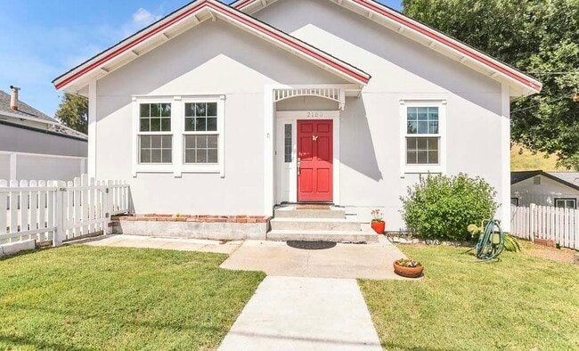
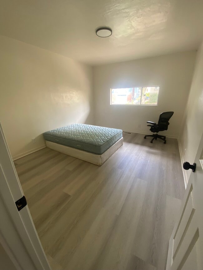
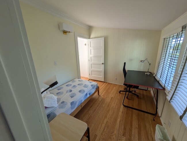
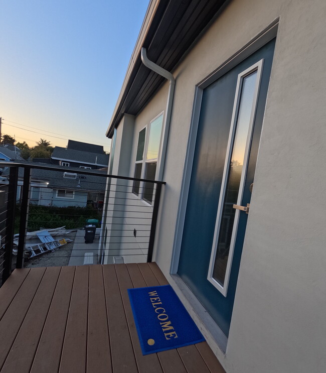
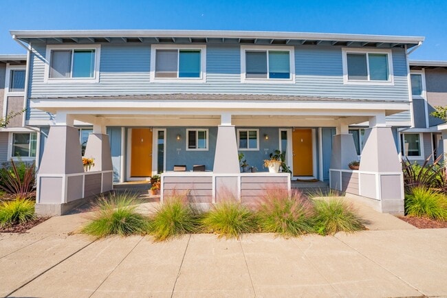
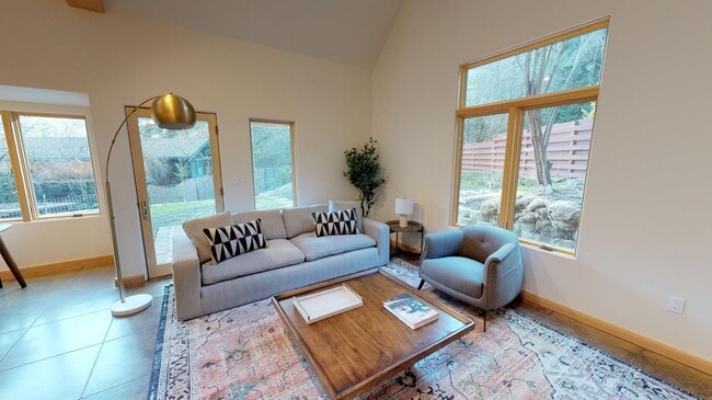
1104 Hillcrest Dr
1104 Hillcrest Dr
Lafayette, CA 94549

Check Back Soon for Upcoming Availability
Minutes from Oakland and San Francisco and practically right next door from the shopping, dining, and nightlife of Walnut Creek, Lafayette enjoys a perfect location for taking advantage of everything the North Bay Area has to offer. BART bus and rail service adds to the convenience, whether you’re a commuter or just checking out the neighboring communities for the day.
In town, the environment is mostly suburban, with top-notch schools, one of the lowest crime rates in the state, and an abundance of locally-owned shops and restaurants. The parks in town offer something for every taste, from small neighborhood greenspaces to enormous, trail-filled nature preserves like Lafayette Reservoir and Briones Hills.
Learn more about living in Lafayette| Colleges & Universities | Distance | ||
|---|---|---|---|
| Colleges & Universities | Distance | ||
| Drive: | 13 min | 5.4 mi | |
| Drive: | 15 min | 7.2 mi | |
| Drive: | 19 min | 10.8 mi | |
| Drive: | 20 min | 11.2 mi |
Transportation options available in Lafayette include Lafayette Station, located 0.6 mile from 1104 Hillcrest Dr. 1104 Hillcrest Dr is near Metro Oakland International, located 20.6 miles or 28 minutes away, and San Francisco International, located 32.6 miles or 47 minutes away.
| Transit / Subway | Distance | ||
|---|---|---|---|
| Transit / Subway | Distance | ||
|
|
Walk: | 12 min | 0.6 mi |
|
|
Drive: | 7 min | 3.7 mi |
|
|
Drive: | 6 min | 4.7 mi |
|
|
Drive: | 6 min | 4.7 mi |
|
|
Drive: | 8 min | 5.3 mi |
| Commuter Rail | Distance | ||
|---|---|---|---|
| Commuter Rail | Distance | ||
|
|
Drive: | 19 min | 12.0 mi |
|
|
Drive: | 18 min | 13.7 mi |
|
|
Drive: | 20 min | 14.9 mi |
|
|
Drive: | 22 min | 15.6 mi |
| Drive: | 29 min | 21.3 mi |
| Airports | Distance | ||
|---|---|---|---|
| Airports | Distance | ||
|
Metro Oakland International
|
Drive: | 28 min | 20.6 mi |
|
San Francisco International
|
Drive: | 47 min | 32.6 mi |
Time and distance from 1104 Hillcrest Dr.
| Shopping Centers | Distance | ||
|---|---|---|---|
| Shopping Centers | Distance | ||
| Walk: | 8 min | 0.4 mi | |
| Walk: | 8 min | 0.5 mi | |
| Walk: | 10 min | 0.5 mi |
| Parks and Recreation | Distance | ||
|---|---|---|---|
| Parks and Recreation | Distance | ||
|
Civic Park
|
Drive: | 7 min | 4.2 mi |
|
Butterfly Habitat Gardens
|
Drive: | 7 min | 4.2 mi |
|
Lindsay Wildlife Museum
|
Drive: | 9 min | 4.4 mi |
|
Larkey Park
|
Drive: | 9 min | 4.9 mi |
|
Briones Regional Park
|
Drive: | 21 min | 9.2 mi |
| Hospitals | Distance | ||
|---|---|---|---|
| Hospitals | Distance | ||
| Drive: | 7 min | 3.9 mi | |
| Drive: | 8 min | 5.1 mi | |
| Drive: | 13 min | 10.0 mi |
| Military Bases | Distance | ||
|---|---|---|---|
| Military Bases | Distance | ||
| Drive: | 28 min | 13.6 mi |
You May Also Like
Similar Rentals Nearby
What Are Walk Score®, Transit Score®, and Bike Score® Ratings?
Walk Score® measures the walkability of any address. Transit Score® measures access to public transit. Bike Score® measures the bikeability of any address.
What is a Sound Score Rating?
A Sound Score Rating aggregates noise caused by vehicle traffic, airplane traffic and local sources

