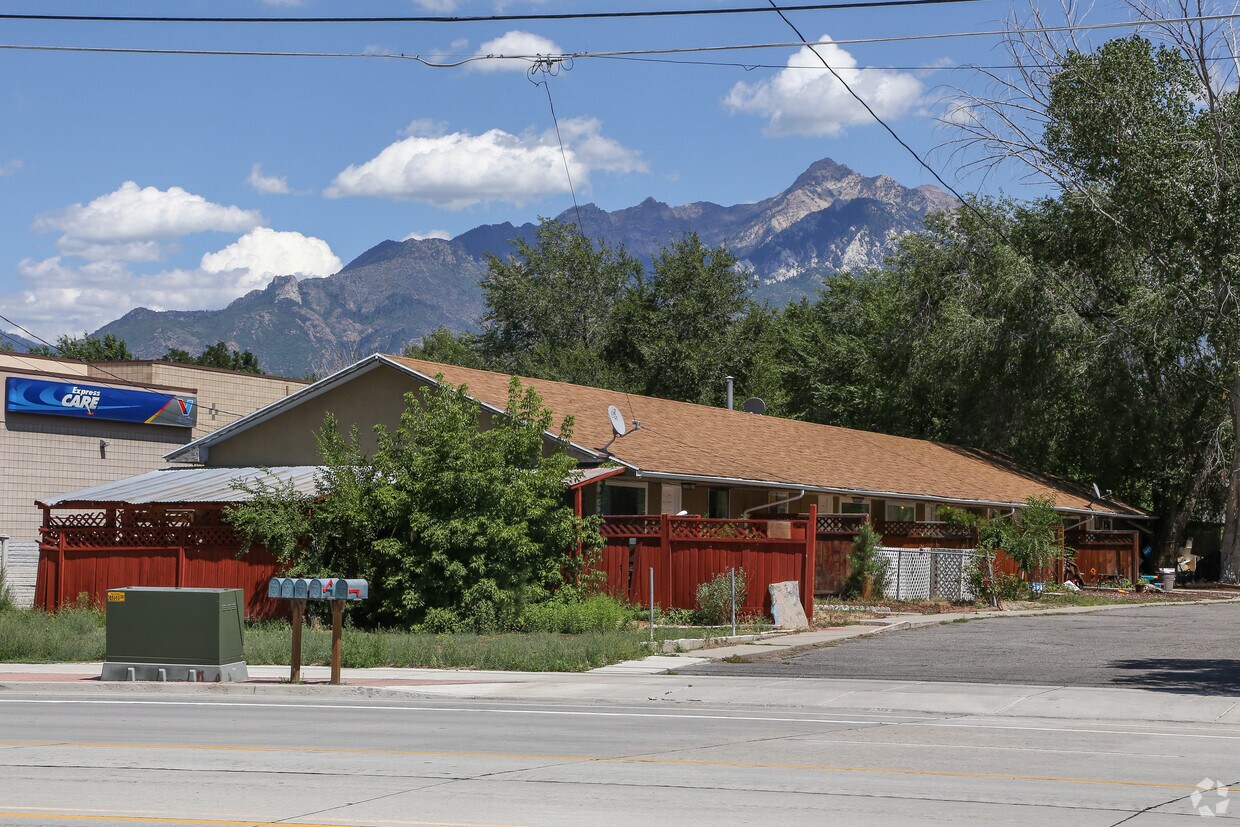
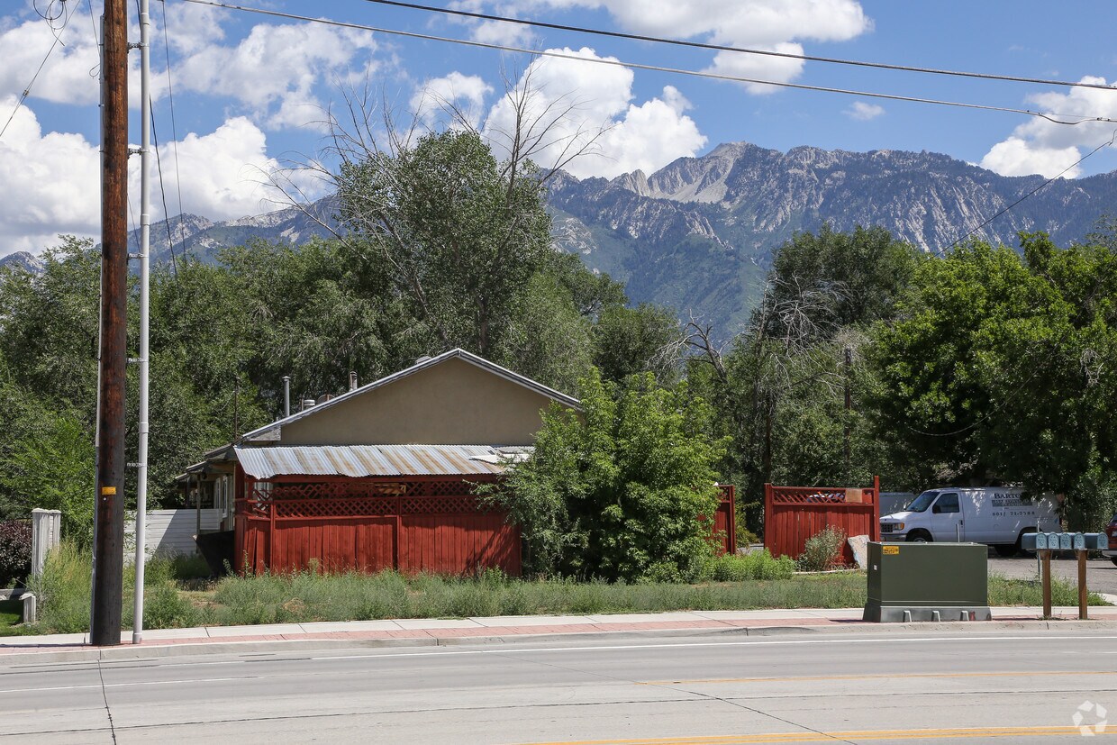
10675 S 700 E
10675 S 700 E,
Sandy,
UT
84070
2 Weeks Ago
Favorites
10675 S 700 E
Favorites
Check Back Soon for Upcoming Availability
Fees and Policies
Details
Property Information
-
Built in 1942
-
5 units/1 story
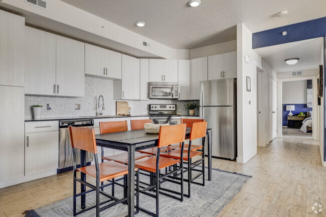
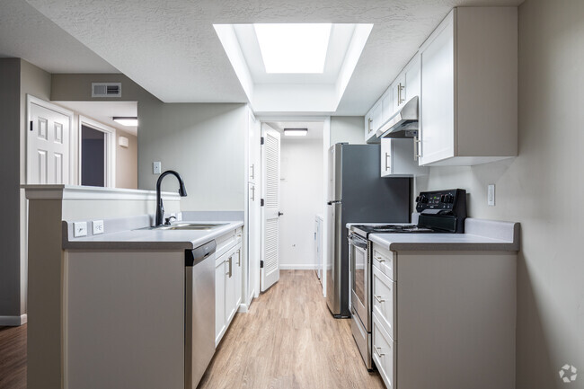
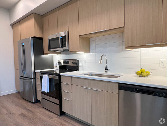
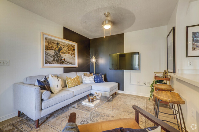
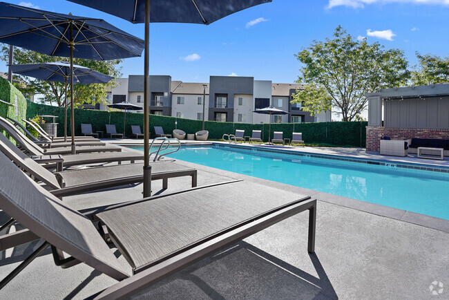
About 10675 S 700 E Sandy, UT 84070
Experience Sandy living at 10675 S. 700 E.. This property is situated on S. 700 E. in the 84070 area of Sandy. The leasing team is excited to help you find the perfect apartment. Contact us today to schedule a tour and find your new home at 10675 S. 700 E..
10675 S 700 E is an apartment community located in Salt Lake County and the 84070 ZIP Code. This area is served by the Canyons District attendance zone.
Location
Get Directions
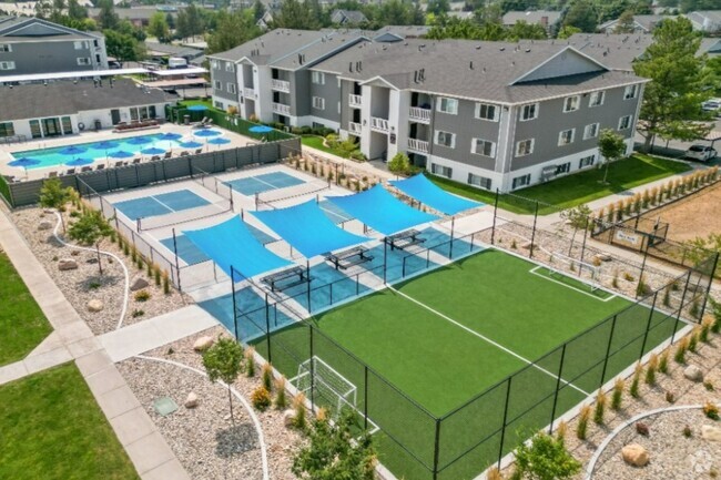
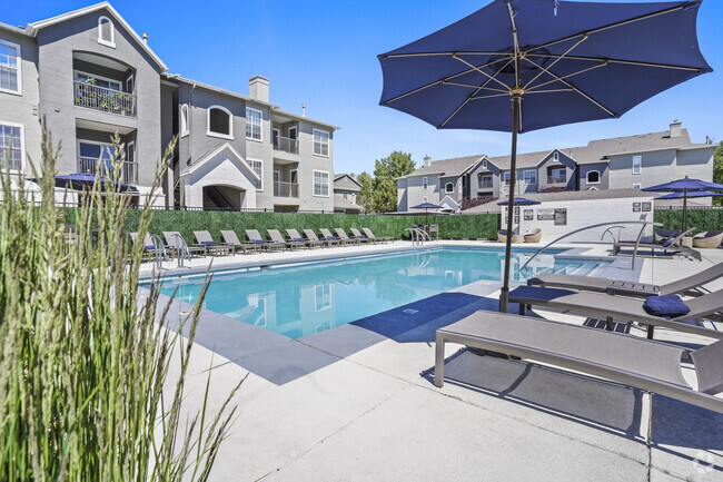
About 18 miles south of Salt Lake City, at the base of the Wasatch Mountains, rests Sandy. The natural beauty of the area lends to stunning views. Hike the Bells Canyon Trail to see waterfalls and pay a visit to Dimple Dell Regional Park for access to horse riding, hiking, and biking trails along ponds and streams.
Sandy is home to Rio Tinto Stadium, where you can attend soccer matches, concerts, corporate events, and other sporting events. You can also catch a concert, comedy show, or play at Sandy Amphitheater. The Shops at South Town offers Sandy residents all kinds of retail delights.
Accessible to I-15, U.S. Route 89, and Utah State Route 209, commuting and traveling from Sandy is a breeze. Sandy also has a local bus system with stops to all four TRAX Blue Line stations in town.
Learn more about living in Sandy
Education
| Colleges & Universities | Distance | ||
|---|---|---|---|
| Colleges & Universities | Distance | ||
| Drive: | 12 min | 8.5 mi | |
| Drive: | 19 min | 12.4 mi | |
| Drive: | 23 min | 16.2 mi | |
| Drive: | 29 min | 19.6 mi |
10675 S 700 E is within 12 minutes or 8.5 miles from University of Phoenix, Utah. It is also near Salt Lake Community College and Westminster College.
Schools


Public Elementary School
Grades PK-5
562 Students
Nearby
Charter Middle & High School
Grades 6-12
366 Students
Nearby
Public Middle & High School
Grades 8-12
2,294 Students
Attendance Zone
Public Middle School
Grades 6-8
1,114 Students
Attendance Zone
Private Elementary & Middle School
Grades PK-8
Nearby
Private Elementary School
Grades PK-1
100 Students
Nearby
Private High School
Grades 9-12
733 Students
Nearby
School data provided by
 The GreatSchools Rating helps parents compare schools within a state based on a variety of school quality indicators and provides a helpful picture of how effectively each school serves all of its students. Ratings are on a scale of 1 (below average) to 10 (above average) and can include test scores, college readiness, academic progress, advanced courses, equity, discipline and attendance data. We also advise parents to visit schools, consider other information on school performance and programs, and consider family needs as part of the school selection process.
View GreatSchools Rating Methodology
View GreatSchools Rating Methodology
Transportation options available in Sandy include Crescent View Station, located 1.4 miles from 10675 S 700 E. 10675 S 700 E is near Salt Lake City International, located 20.9 miles or 27 minutes away, and Provo Municipal, located 32.3 miles or 44 minutes away.
| Transit / Subway | Distance | ||
|---|---|---|---|
| Transit / Subway | Distance | ||
|
|
Drive: | 3 min | 1.4 mi |
|
|
Drive: | 3 min | 1.5 mi |
|
|
Drive: | 4 min | 2.1 mi |
|
|
Drive: | 5 min | 2.5 mi |
|
|
Drive: | 7 min | 2.9 mi |
| Commuter Rail | Distance | ||
|---|---|---|---|
| Commuter Rail | Distance | ||
|
|
Drive: | 5 min | 2.1 mi |
|
|
Drive: | 11 min | 5.0 mi |
|
|
Drive: | 17 min | 11.6 mi |
|
|
Drive: | 23 min | 16.9 mi |
|
American Fork Station
|
Drive: | 26 min | 17.1 mi |
| Airports | Distance | ||
|---|---|---|---|
| Airports | Distance | ||
|
Salt Lake City International
|
Drive: | 27 min | 20.9 mi |
|
Provo Municipal
|
Drive: | 44 min | 32.3 mi |
Time and distance from 10675 S 700 E.
| Shopping Centers | Distance | ||
|---|---|---|---|
| Shopping Centers | Distance | ||
| Walk: | 2 min | 0.1 mi | |
| Walk: | 4 min | 0.2 mi | |
| Drive: | 3 min | 1.1 mi |
10675 S 700 E has 3 shopping centers within 1.1 miles, which is about a 3-minute walk. The miles and minutes will be for the farthest away property.
| Parks and Recreation | Distance | ||
|---|---|---|---|
| Parks and Recreation | Distance | ||
|
Dimple Dell Regional Nature Park
|
Drive: | 6 min | 2.9 mi |
|
Wheeler Historic Farm
|
Drive: | 11 min | 5.6 mi |
|
Conservation Garden Park
|
Drive: | 11 min | 6.0 mi |
|
Solitude Mountain Resort
|
Drive: | 14 min | 7.3 mi |
|
Thanksgiving Point Institute
|
Drive: | 15 min | 11.2 mi |
10675 S 700 E has 5 parks within 11.2 miles, including Dimple Dell Regional Nature Park, Wheeler Historic Farm, and Conservation Garden Park.
| Hospitals | Distance | ||
|---|---|---|---|
| Hospitals | Distance | ||
| Drive: | 5 min | 2.6 mi | |
| Drive: | 5 min | 2.9 mi | |
| Drive: | 12 min | 6.3 mi |
10675 S 700 E has 3 hospitals within 6.3 miles, the nearest is Lone Peak Hospital which is 2.6 miles away and a 5 minute drive.
You May Also Like
Similar Rentals Nearby


What Are Walk Score®, Transit Score®, and Bike Score® Ratings?
Walk Score® measures the walkability of any address. Transit Score® measures access to public transit. Bike Score® measures the bikeability of any address.
What is a Sound Score Rating?
A Sound Score Rating aggregates noise caused by vehicle traffic, airplane traffic and local sources
Responded To This Review