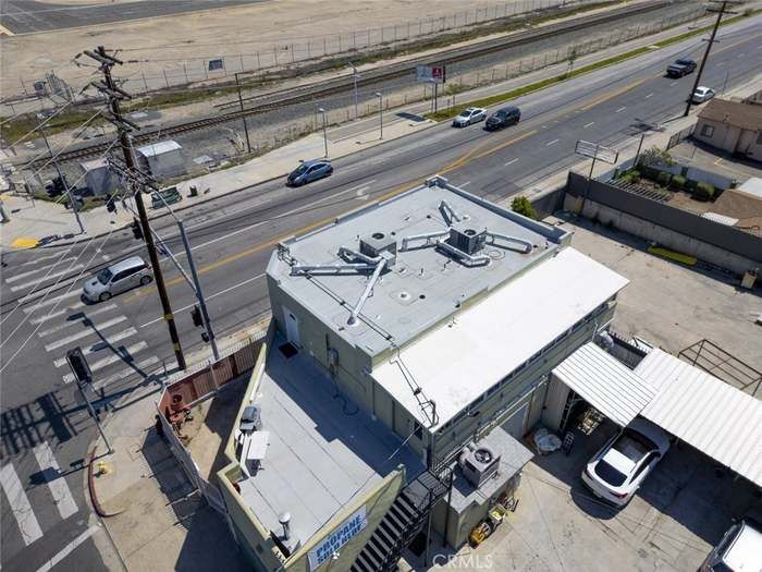
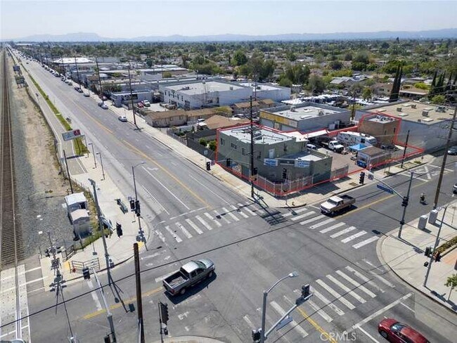
10615 San Fernando Rd
Los Angeles, CA 91331
-
Bedrooms
Studio
-
Bathrooms
1
-
Square Feet
2,300 sq ft
-
Available
Available Now

About This Home
Welcome to your future home in the vibrant district of Pacoima, CA! This charming property offers comfortable living in a convenient location, making it an ideal choice for your next rental. Enjoy the convenience of easy access to nearby department stores and the serene Roger Jessup Park, which is just a short walk away—perfect for outdoor activities or leisurely strolls. Utilities and amenities include central heating and cooling, ensuring year-round comfort. Additional comforts such as air conditioning provide a pleasant living environment. Please note that rent does not include utilities such as gas, electricity, and water.
10615 San Fernando Rd is a condo located in Los Angeles County and the 91331 ZIP Code.
Fees and Policies
The fees listed below are community-provided and may exclude utilities or add-ons. All payments are made directly to the property and are non-refundable unless otherwise specified.
-
Other
Property Fee Disclaimer: Based on community-supplied data and independent market research. Subject to change without notice. May exclude fees for mandatory or optional services and usage-based utilities.
Details
Lease Options
-
12 Months
Condo Features
- Air Conditioning
- Laundry Facilities
- Renters Insurance Program
Contact
- Phone Number
- Website View Property Website
- Contact
-
Source

Los Angeles sprawls across nearly 500 square miles between the Pacific Ocean and the San Gabriel Mountains, making it one of the few places where you can surf in the morning and hike through chaparral-covered hills by afternoon. Sunshine, open-air farmers markets, and a food scene that pulls from dozens of culinary traditions are a staple of living in the city.
Neighborhoods each have a distinct personality surrounding a particular focus, whether it be culture or nature. Westwood keeps residents close to entertainment at the University of Southern California and the Hammer Museum's rotating art exhibitions. Koreatown is a cultural and food destination, known for authentic restaurants and shops paired with a bustling street energy and nightlife.
The city overflows with iconic landmarks, from natural to man-made. Griffith Park, one of the largest urban parks in the country, offers hiking trails, sweeping skyline views, and the iconic Griffith Observatory.
Learn more about living in Los Angeles- Air Conditioning
- Laundry Facilities
- Renters Insurance Program
| Colleges & Universities | Distance | ||
|---|---|---|---|
| Colleges & Universities | Distance | ||
| Drive: | 8 min | 5.2 mi | |
| Drive: | 11 min | 6.5 mi | |
| Drive: | 13 min | 7.0 mi | |
| Drive: | 12 min | 7.9 mi |
Transportation options available in Los Angeles include North Hollywood Station, located 8.3 miles from 10615 San Fernando Rd. 10615 San Fernando Rd is near Bob Hope, located 5.7 miles or 9 minutes away, and Los Angeles International, located 28.6 miles or 38 minutes away.
| Transit / Subway | Distance | ||
|---|---|---|---|
| Transit / Subway | Distance | ||
|
|
Drive: | 11 min | 8.3 mi |
|
|
Drive: | 14 min | 10.6 mi |
| Commuter Rail | Distance | ||
|---|---|---|---|
| Commuter Rail | Distance | ||
|
|
Drive: | 5 min | 2.9 mi |
|
|
Drive: | 6 min | 3.9 mi |
|
|
Drive: | 8 min | 4.9 mi |
| Drive: | 8 min | 5.6 mi | |
|
|
Drive: | 11 min | 6.8 mi |
| Airports | Distance | ||
|---|---|---|---|
| Airports | Distance | ||
|
Bob Hope
|
Drive: | 9 min | 5.7 mi |
|
Los Angeles International
|
Drive: | 38 min | 28.6 mi |
Scores provided by
Traffic
-Airport
-Businesses
-Scores provided by
HowLoud What is a Sound Score Rating? A Sound Score Rating aggregates noise caused by vehicle traffic, airplane traffic and local sources. How It WorksTime and distance from 10615 San Fernando Rd.
| Shopping Centers | Distance | ||
|---|---|---|---|
| Shopping Centers | Distance | ||
| Walk: | 14 min | 0.7 mi | |
| Walk: | 15 min | 0.8 mi | |
| Walk: | 19 min | 1.0 mi |
| Parks and Recreation | Distance | ||
|---|---|---|---|
| Parks and Recreation | Distance | ||
|
El Cariso Regional Park
|
Drive: | 9 min | 5.3 mi |
|
Veterans Memorial Park
|
Drive: | 13 min | 6.4 mi |
|
Cal State Northridge Botanic Garden
|
Drive: | 14 min | 7.6 mi |
|
Wildlife Waystation
|
Drive: | 14 min | 8.4 mi |
|
Sepulveda Basin Wildlife Reserve
|
Drive: | 18 min | 11.6 mi |
| Hospitals | Distance | ||
|---|---|---|---|
| Hospitals | Distance | ||
| Drive: | 3 min | 2.0 mi | |
| Drive: | 5 min | 3.3 mi | |
| Drive: | 7 min | 4.2 mi |
| Military Bases | Distance | ||
|---|---|---|---|
| Military Bases | Distance | ||
| Drive: | 38 min | 31.2 mi |
You May Also Like
What Are Walk Score®, Transit Score®, and Bike Score® Ratings?
Walk Score® measures the walkability of any address. Transit Score® measures access to public transit. Bike Score® measures the bikeability of any address.
What is a Sound Score Rating?
A Sound Score Rating aggregates noise caused by vehicle traffic, airplane traffic and local sources.

10615 San Fernando Rd
Los Angeles, CA 91331