$3,100 / Month
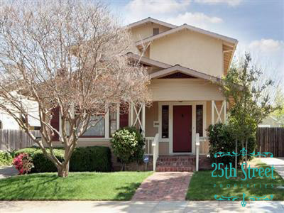
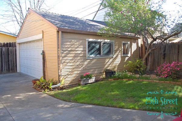
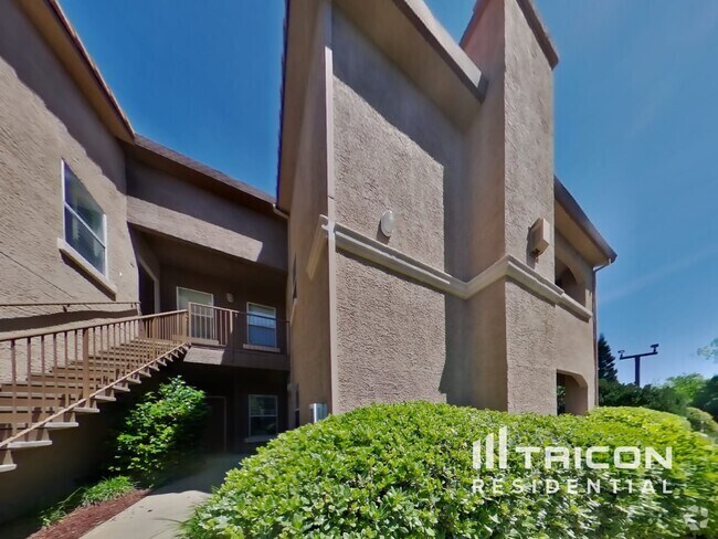
1055 Santa Ynez Way
Sacramento, CA 95816
2 Weeks Ago
Favorites
1055 Santa Ynez Way

Favorites
Check Back Soon for Upcoming Availability
| Beds | Baths | Average SF |
|---|---|---|
| 3 Bedrooms 3 Bedrooms 3 Br | 2 Baths 2 Baths 2 Ba | 1,472 SF |
About This Property
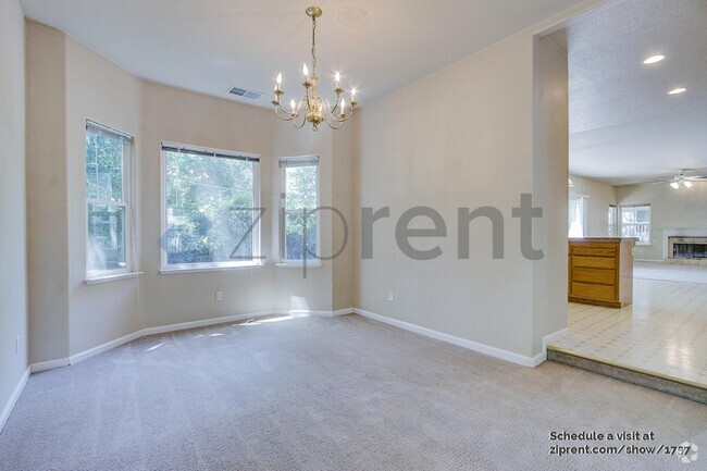
Darling bungalow in great central location. Open floor plan. Living room features built-in book cases. Dining room features a built-in hutch. Kitchen is spacious with lots of storage and refrigerator. Nice size bedrooms. Master bedroom has a walk-in closet and small porch. Indoor laundry room with washer/dryer (as-is) Quaint backyard with patio. 1.5 car garage. Central HVAC Long driveway for off street parking. Enjoy biking and walking around East Sac and Midtown. Lots of restaurants nearby. Basic landscaping is included. Tenant pays water, garbage, and sewer. No pets allowed.
1055 Santa Ynez Way is a house located in Sacramento County and the 95816 ZIP Code. This area is served by the Sacramento City Unified attendance zone.
House Features
Air Conditioning
Dishwasher
Hardwood Floors
Refrigerator
- Air Conditioning
- Dishwasher
- Refrigerator
- Hardwood Floors
Location
Get Directions
East Sacramento offers renters a breath of fresh air in the city. Known for tree-lined streets and great parks, East Sacramento is one of the city’s best neighborhoods. The community features lavish apartments, condos, townhomes, and houses. Join your new friends and neighbors at popular McKinley Park, known for its elegant rose garden, food trucks, festivals, concerts, and outdoor movie nights. The neighborhood is also known for its stellar dining and nightlife scene. While living in East Sacramento, you’ll have easy access to craft breweries, trendy coffee shops, quaint boutiques, sports bars, and diverse eateries. Great for students as well, the community borders California State University, Sacramento. This vibrant neighborhood also offers close proximity to Midtown and Downtown Sacramento, which are both about four miles away.
Learn more about living in East SacramentoBelow are rent ranges for similar nearby apartments
| Beds | Average Size | Lowest | Typical | Premium |
|---|---|---|---|---|
| Studio Studio Studio | 516-541 Sq Ft | $1,375 | $1,657 | $2,537 |
| 1 Bed 1 Bed 1 Bed | 727-734 Sq Ft | $1,295 | $2,039 | $2,795 |
| 2 Beds 2 Beds 2 Beds | 950-951 Sq Ft | $765 | $2,029 | $3,810 |
| 3 Beds 3 Beds 3 Beds | 1232-1243 Sq Ft | $700 | $1,508 | $3,290 |
| 4 Beds 4 Beds 4 Beds | 1279 Sq Ft | $675 | $1,070 | $3,759 |
Amenities
- Air Conditioning
- Dishwasher
- Refrigerator
- Hardwood Floors
Education
| Colleges & Universities | Distance | ||
|---|---|---|---|
| Colleges & Universities | Distance | ||
| Drive: | 5 min | 2.5 mi | |
| Drive: | 7 min | 3.7 mi | |
| Drive: | 16 min | 10.1 mi | |
| Drive: | 16 min | 10.5 mi |
1055 Santa Ynez Way is within 5 minutes or 2.5 miles from Sacramento State. It is also near Sacramento City College and Cosumnes River College.
Schools


Public Elementary School
Grades K-3
372 Students
Nearby
Public Elementary School
Grades K-6
449 Students
Attendance Zone
Public Middle School
Grades 7-8
1,075 Students
Attendance Zone
Public High School
Grades 9-12
1,733 Students
Attendance Zone
Private Elementary & Middle School
Grades PK-8
46 Students
Nearby
Private Elementary & Middle School
Grades PK-8
304 Students
Nearby
Private Middle & High School
Grades 7-12
Nearby
School data provided by
 The GreatSchools Rating helps parents compare schools within a state based on a variety of school quality indicators and provides a helpful picture of how effectively each school serves all of its students. Ratings are on a scale of 1 (below average) to 10 (above average) and can include test scores, college readiness, academic progress, advanced courses, equity, discipline and attendance data. We also advise parents to visit schools, consider other information on school performance and programs, and consider family needs as part of the school selection process.
View GreatSchools Rating Methodology
View GreatSchools Rating Methodology
Transportation options available in Sacramento include 39Th Street Station (Wb), located 1.0 mile from 1055 Santa Ynez Way. 1055 Santa Ynez Way is near Sacramento International, located 13.6 miles or 21 minutes away.
| Transit / Subway | Distance | ||
|---|---|---|---|
| Transit / Subway | Distance | ||
|
|
Walk: | 18 min | 1.0 mi |
|
|
Drive: | 2 min | 1.2 mi |
|
|
Drive: | 4 min | 1.5 mi |
|
|
Drive: | 4 min | 1.7 mi |
|
|
Drive: | 4 min | 2.3 mi |
| Commuter Rail | Distance | ||
|---|---|---|---|
| Commuter Rail | Distance | ||
| Drive: | 6 min | 2.9 mi | |
|
|
Drive: | 21 min | 16.9 mi |
|
|
Drive: | 25 min | 18.7 mi |
|
|
Drive: | 26 min | 20.9 mi |
|
|
Drive: | 39 min | 33.1 mi |
| Airports | Distance | ||
|---|---|---|---|
| Airports | Distance | ||
|
Sacramento International
|
Drive: | 21 min | 13.6 mi |
Time and distance from 1055 Santa Ynez Way.
| Shopping Centers | Distance | ||
|---|---|---|---|
| Shopping Centers | Distance | ||
| Walk: | 9 min | 0.5 mi | |
| Walk: | 10 min | 0.6 mi | |
| Drive: | 2 min | 1.1 mi |
1055 Santa Ynez Way has 3 shopping centers within 1.1 miles, which is about a 2-minute walk. The miles and minutes will be for the farthest away property.
| Parks and Recreation | Distance | ||
|---|---|---|---|
| Parks and Recreation | Distance | ||
|
Sutter's Fort State Historical Monument
|
Walk: | 16 min | 0.9 mi |
|
Paradise Beach County Recreation Area
|
Drive: | 4 min | 2.1 mi |
|
Governor's Mansion State Historic Park
|
Drive: | 4 min | 2.1 mi |
|
California State Capitol Museum
|
Drive: | 5 min | 2.3 mi |
|
Leland Stanford Mansion State Historic Park
|
Drive: | 5 min | 2.3 mi |
1055 Santa Ynez Way has 5 parks within 2.3 miles, including Sutter's Fort State Historical Monument, Governor's Mansion State Historic Park, and Leland Stanford Mansion State Historic Park.
| Hospitals | Distance | ||
|---|---|---|---|
| Hospitals | Distance | ||
| Walk: | 8 min | 0.4 mi | |
| Walk: | 15 min | 0.8 mi | |
| Drive: | 4 min | 1.9 mi |
1055 Santa Ynez Way has 3 hospitals within 1.9 miles, the nearest is Mercy General Hospital which is 0.4 mile away and a 8 minute walk.
| Military Bases | Distance | ||
|---|---|---|---|
| Military Bases | Distance | ||
| Drive: | 23 min | 11.0 mi |
1055 Santa Ynez Way is 11.0 miles and a 23 minute drive from McClellan Air Force Base.
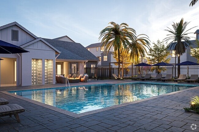
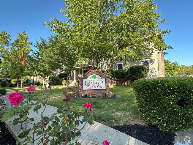
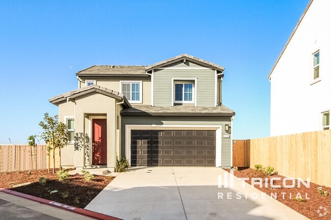
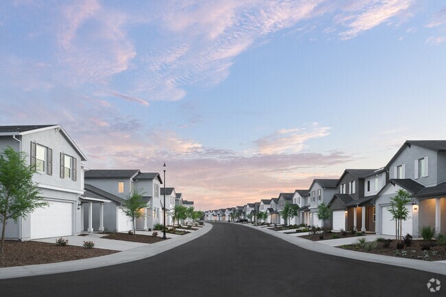
You May Also Like
Similar Rentals Nearby

What Are Walk Score®, Transit Score®, and Bike Score® Ratings?
Walk Score® measures the walkability of any address. Transit Score® measures access to public transit. Bike Score® measures the bikeability of any address.
What is a Sound Score Rating?
A Sound Score Rating aggregates noise caused by vehicle traffic, airplane traffic and local sources

1055 Santa Ynez Way
Sacramento, CA 95816