


$900
Total Monthly Price
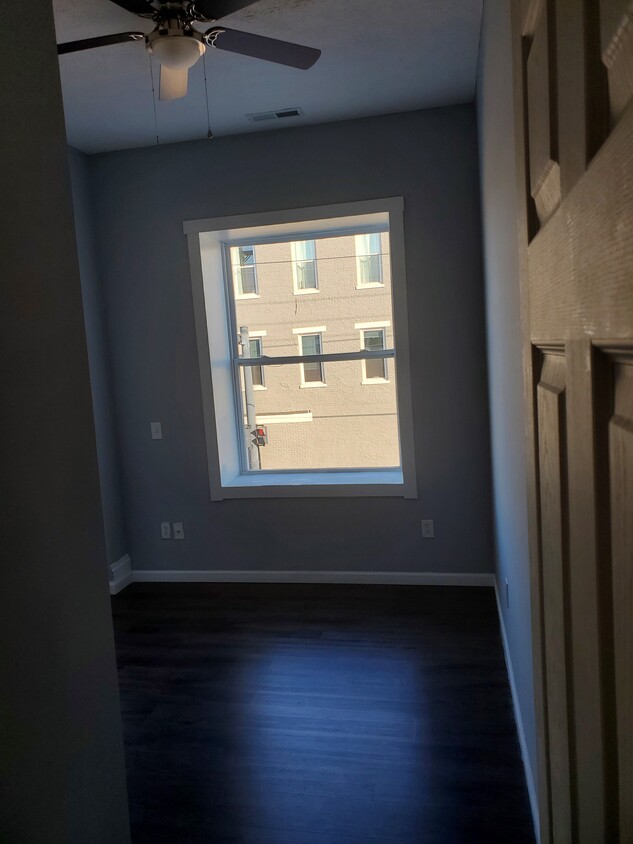
105 S State St
West Harrison, IN 47060
Favorites
105 S State St

Favorites
Check Back Soon for Upcoming Availability
| Beds | Baths | Average SF |
|---|---|---|
| 2 Bedrooms 2 Bedrooms 2 Br | 1 Bath 1 Bath 1 Ba | 700 SF |
Fees and Policies
The fees listed below are community-provided and may exclude utilities or add-ons. All payments are made directly to the property and are non-refundable unless otherwise specified.
- Parking
-
Street--
Details
Utilities Included
-
Trash Removal
Property Information
-
4 units
About 105 S State St West Harrison, IN 47060
THIS PROPERTY LOCATED IN DOWNTOWN HARRISON OH NEAR BY BARS AND RESTAURANTS, LIQUOR STORE, COFFEE SHOP AND PHARMACY.
105 S State St is an apartment community located in Dearborn County and the 47060 ZIP Code.
Apartment Features
- Air Conditioning
- Smoke Free
105 S State St,
West Harrison,
IN
47060
Amenities
- Air Conditioning
- Smoke Free
Expenses
Utilities Included
Trash Removal
Included
Education
| Colleges & Universities | Distance | ||
|---|---|---|---|
| Colleges & Universities | Distance | ||
| Drive: | 32 min | 19.1 mi | |
| Drive: | 29 min | 20.3 mi | |
| Drive: | 46 min | 21.5 mi | |
| Drive: | 34 min | 24.2 mi |
105 S State St is within 32 minutes or 19.1 miles from College of Mount St. Joseph. It is also near Cincinnati State and Miami University Hamilton.
Walkability Near 105 S State St West Harrison, IN 47060
Getting Around
 What do Walkability, Transit, Drivability, and Bikeability mean?
Walkability measures the walking distance to day-to-day needs.
Transit measures access to public transportation.
Drivability measures congestion, parking availability, and access to major roads.
Bikeability measures the suitability for cycling.
How It Works
What do Walkability, Transit, Drivability, and Bikeability mean?
Walkability measures the walking distance to day-to-day needs.
Transit measures access to public transportation.
Drivability measures congestion, parking availability, and access to major roads.
Bikeability measures the suitability for cycling.
How It Works
Fairly Walkable
Walkability
50
/ 100
Minimal Public Transit
Transit
0
/ 100
Exceptionally Drivable
Drivability
90
/ 100
Somewhat Bikeable
Bikeability
30
/ 100
Scores provided by
-
Soundscore™
-
/ 100
Traffic
-Airport
-Businesses
-Scores provided by
HowLoud What is a Sound Score Rating? A Sound Score Rating aggregates noise caused by vehicle traffic, airplane traffic and local sources. How It WorksYou May Also Like
Similar Rentals Nearby


What Are Walk Score®, Transit Score®, and Bike Score® Ratings?
Walk Score® measures the walkability of any address. Transit Score® measures access to public transit. Bike Score® measures the bikeability of any address.
What is a Sound Score Rating?
A Sound Score Rating aggregates noise caused by vehicle traffic, airplane traffic and local sources.

105 S State St
West Harrison, IN 47060