
$2,100 / Month
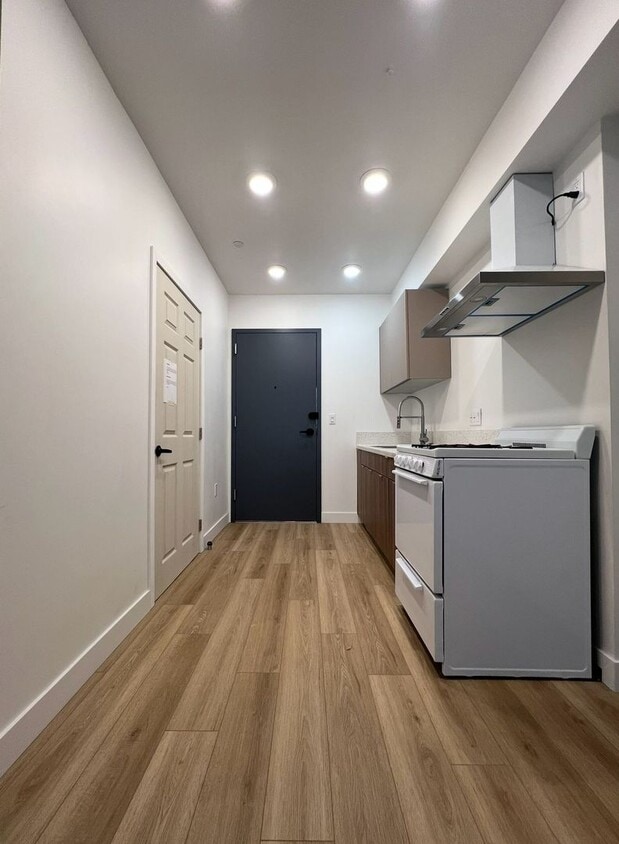
1039 E 28th St Unit 202
Los Angeles, CA 90011
Today
Favorites
323-975-9140
-
Bedrooms
1
-
Bathrooms
1
-
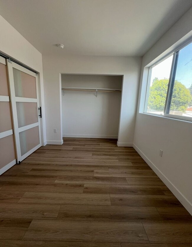
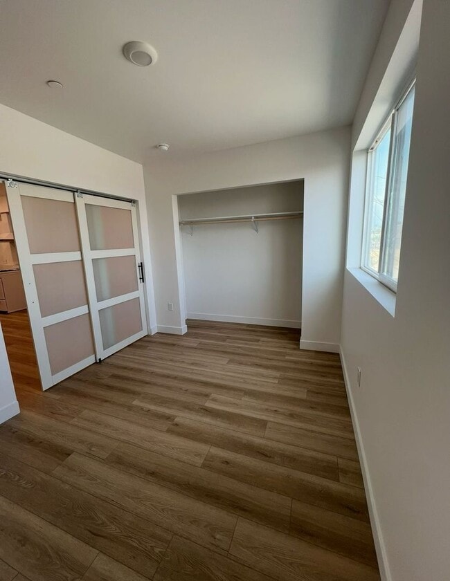
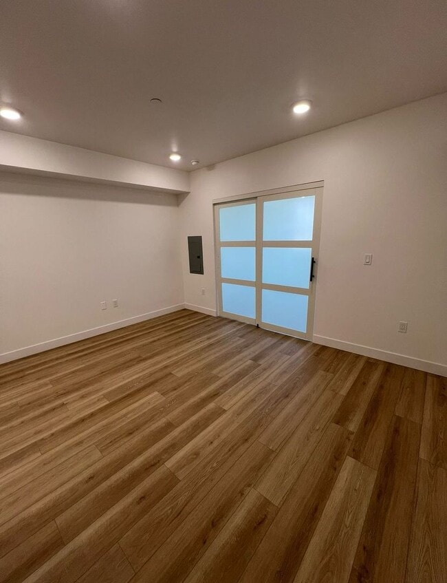
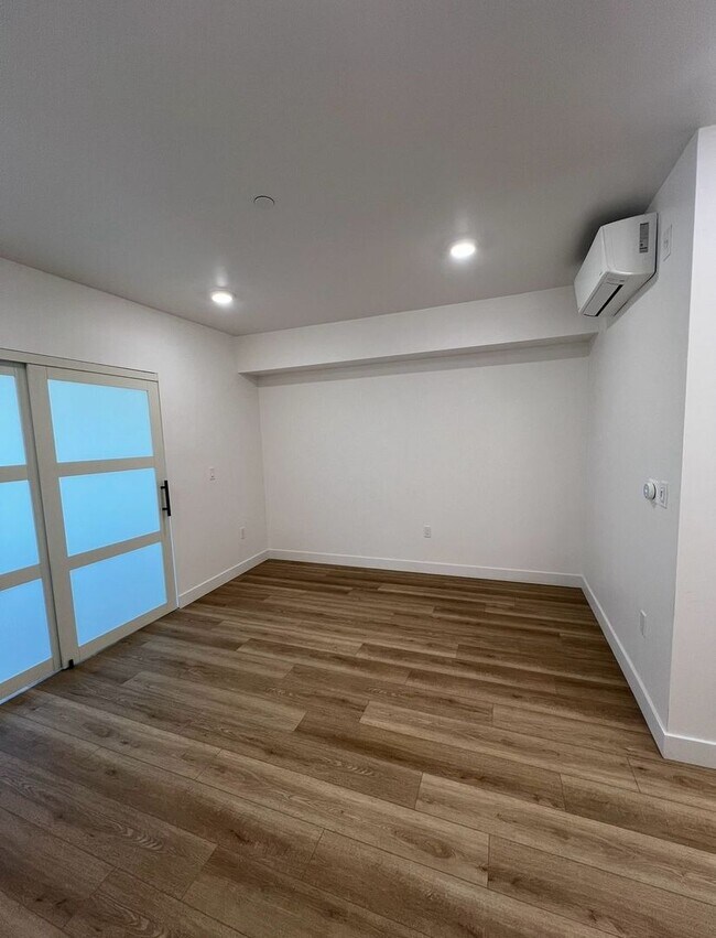
Square Feet
450 sq ft
-
Available
Available Now
1039 E 28th St Unit 202

Favorites
Contact
- Listed by LEMANI MANAGEMENT INC. | LEMANI MANAGEMENT INC.
- Phone Number
- Contact
Location
Get Directions
Southeast Los Angeles is directly south of the Fashion District and east of the University of Southern California (USC). This large neighborhood is minutes from downtown Los Angeles, Hollywood, and Beverly Hills, with easy access to the 110 Freeway. This great location places you near sunny beaches, nature trails, and a bevy of leading employers. Students can access both USC and California State University Long Beach from their Southeast LA apartment.
This densely populated, diverse neighborhood features everything from food trucks and corner markets to wide sidewalks and residential areas filled with bungalows, ranch, and Spanish Colonial architecture. Southeast LA features palm trees and mountain views, tampered with gritty undertones to give it a cool, funky vibe.
As for outdoor fun, take your pick between Catalina Island, Venus Beach, or the Santa Monica Pier. Nearby, you’ll find more sunny beaches like White Point, Cabrillo, and Long Beach.
Learn more about living in Southeast Los Angeles
Education
| Colleges & Universities | Distance | ||
|---|---|---|---|
| Colleges & Universities | Distance | ||
| Drive: | 5 min | 2.0 mi | |
| Drive: | 5 min | 2.0 mi | |
| Drive: | 6 min | 2.6 mi | |
| Drive: | 5 min | 2.8 mi |
1039 E 28th St Unit 202 is within 5 minutes or 2.0 miles from Los Angeles Trade-Tech. It is also near Mount St. Mary's Coll, Doheny and USC, University Park Campus.
Transportation options available in Los Angeles include San Pedro Station, located 1.0 miles from 1039 E 28th St Unit 202. 1039 E 28th St Unit 202 is near Los Angeles International, located 13.0 miles or 23 minutes away, and Bob Hope, located 20.5 miles or 28 minutes away.
| Transit / Subway | Distance | ||
|---|---|---|---|
| Transit / Subway | Distance | ||
|
|
Walk: | 19 min | 1.0 mi |
|
|
Drive: | 2 min | 1.2 mi |
|
|
Drive: | 3 min | 1.7 mi |
|
|
Drive: | 4 min | 1.9 mi |
|
|
Drive: | 5 min | 2.2 mi |
| Commuter Rail | Distance | ||
|---|---|---|---|
| Commuter Rail | Distance | ||
|
|
Drive: | 7 min | 3.1 mi |
|
|
Drive: | 9 min | 3.5 mi |
| Drive: | 10 min | 7.1 mi | |
|
|
Drive: | 14 min | 9.2 mi |
|
|
Drive: | 15 min | 10.5 mi |
| Airports | Distance | ||
|---|---|---|---|
| Airports | Distance | ||
|
Los Angeles International
|
Drive: | 23 min | 13.0 mi |
|
Bob Hope
|
Drive: | 28 min | 20.5 mi |
Time and distance from 1039 E 28th St Unit 202.
| Shopping Centers | Distance | ||
|---|---|---|---|
| Shopping Centers | Distance | ||
| Walk: | 16 min | 0.9 mi | |
| Walk: | 17 min | 0.9 mi | |
| Walk: | 18 min | 1.0 mi |
1039 E 28th St Unit 202 has 3 shopping centers within 1.0 mile, which is about a 18-minute walk. The miles and minutes will be for the farthest away property.
| Parks and Recreation | Distance | ||
|---|---|---|---|
| Parks and Recreation | Distance | ||
|
Augustus Hawkins Natural Park
|
Drive: | 4 min | 2.3 mi |
|
California Science Center
|
Drive: | 5 min | 2.4 mi |
|
Natural History Museum of LA County
|
Drive: | 6 min | 3.1 mi |
|
Hollenbeck Lake
|
Drive: | 6 min | 3.2 mi |
|
Exposition Park Rose Garden
|
Drive: | 6 min | 3.3 mi |
1039 E 28th St Unit 202 has 5 parks within 3.3 miles, including California Science Center, Exposition Park Rose Garden, and Augustus Hawkins Natural Park.
| Hospitals | Distance | ||
|---|---|---|---|
| Hospitals | Distance | ||
| Drive: | 4 min | 2.1 mi | |
| Drive: | 7 min | 3.4 mi | |
| Drive: | 6 min | 3.8 mi |
1039 E 28th St Unit 202 has 3 hospitals within 3.8 miles, the nearest is California Hospital Medical Center LA which is 2.1 miles away and a 4 minute drive.
| Military Bases | Distance | ||
|---|---|---|---|
| Military Bases | Distance | ||
| Drive: | 20 min | 14.5 mi |
1039 E 28th St Unit 202 is 14.5 miles and a 20 minute drive from Los Angeles Air Force Base.
You May Also Like
Similar Rentals Nearby


 - Violet on Virgil")


 - AVA Burbank")

What Are Walk Score®, Transit Score®, and Bike Score® Ratings?
Walk Score® measures the walkability of any address. Transit Score® measures access to public transit. Bike Score® measures the bikeability of any address.
What is a Sound Score Rating?
A Sound Score Rating aggregates noise caused by vehicle traffic, airplane traffic and local sources
1039 E 28th St
Los Angeles, CA 90011