
Venue Residences
3688 Overland Ave,
Los Angeles, CA 90034
$2,625 - $5,650
Studio - 2 Beds

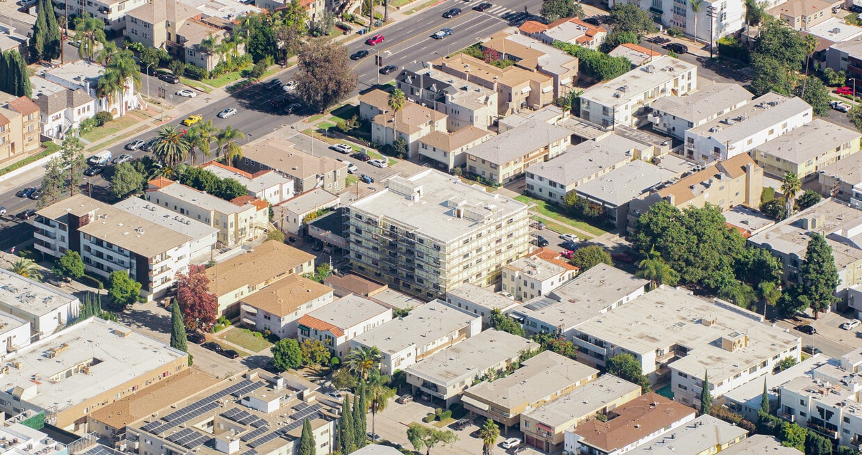
Discover 1021-1025 S Shenandoah St. This community is located on S. Shenandoah St. in Los Angeles. The leasing staff will assist you in finding your new home. So get a head start on your move. Contact or stop by 1021-1025 S Shenandoah St to discuss your new apartment!
1021-1025 S Shenandoah St is an apartment community located in Los Angeles County and the 90035 ZIP Code. This area is served by the Los Angeles Unified Rocp School District attendance zone.
24 Hour Access
Package Service
Lounge
Maintenance on site
Air Conditioning
Refrigerator
Tub/Shower
Freezer
Pico-Robertson is a popular Los Angeles neighborhood situated directly south of Beverly Hills and east of Century City. Despite its location in the heart of glittery West Los Angeles near the Miracle Mile, Beverlywood, Carthay, and Cheviot Hills, Pico-Robertson is much more low-key. You won't find trendy hotspots and wild nightlife in Pico-Robertson, but you will find a strong sense of community and a quiet setting.
Pico-Robertson offers a unique collection of delis, bakeries, and more. It is named for the intersection of Pico Boulevard and Robertson Boulevard, and that's where you'll find the majority of the neighborhood's shops, restaurants, and cafes.
Learn more about living in Pico-RobertsonCompare neighborhood and city base rent averages by bedroom.
| Pico-Robertson | Los Angeles, CA | |
|---|---|---|
| Studio | $1,670 | $1,711 |
| 1 Bedroom | $2,037 | $2,183 |
| 2 Bedrooms | $2,844 | $3,016 |
| 3 Bedrooms | $4,043 | $4,340 |
| Colleges & Universities | Distance | ||
|---|---|---|---|
| Colleges & Universities | Distance | ||
| Drive: | 12 min | 4.7 mi | |
| Drive: | 11 min | 5.1 mi | |
| Drive: | 11 min | 5.6 mi | |
| Drive: | 11 min | 6.0 mi |


Transportation options available in Los Angeles include Culver City, located 2.5 miles from 1021-1025 S Shenandoah St. 1021-1025 S Shenandoah St is near Los Angeles International, located 9.7 miles or 20 minutes away, and Bob Hope, located 13.9 miles or 26 minutes away.
| Transit / Subway | Distance | ||
|---|---|---|---|
| Transit / Subway | Distance | ||
|
|
Drive: | 6 min | 2.5 mi |
|
|
Drive: | 6 min | 2.7 mi |
|
|
Drive: | 7 min | 3.5 mi |
|
|
Drive: | 9 min | 3.6 mi |
|
|
Drive: | 8 min | 4.2 mi |
| Commuter Rail | Distance | ||
|---|---|---|---|
| Commuter Rail | Distance | ||
|
|
Drive: | 17 min | 9.2 mi |
|
|
Drive: | 19 min | 9.4 mi |
|
|
Drive: | 20 min | 11.6 mi |
|
|
Drive: | 23 min | 11.9 mi |
|
|
Drive: | 25 min | 12.8 mi |
| Airports | Distance | ||
|---|---|---|---|
| Airports | Distance | ||
|
Los Angeles International
|
Drive: | 20 min | 9.7 mi |
|
Bob Hope
|
Drive: | 26 min | 13.9 mi |
Scores provided by
Traffic
-Airport
-Businesses
-Scores provided by
HowLoud What is a Sound Score Rating? A Sound Score Rating aggregates noise caused by vehicle traffic, airplane traffic and local sources. How It WorksTime and distance from 1021-1025 S Shenandoah St.
| Shopping Centers | Distance | ||
|---|---|---|---|
| Shopping Centers | Distance | ||
| Walk: | 3 min | 0.2 mi | |
| Walk: | 6 min | 0.3 mi | |
| Walk: | 7 min | 0.4 mi |
| Parks and Recreation | Distance | ||
|---|---|---|---|
| Parks and Recreation | Distance | ||
|
Zimmer Children's Museum
|
Drive: | 3 min | 1.3 mi |
|
La Brea Tar Pits
|
Drive: | 3 min | 1.8 mi |
|
Virginia Robinson Gardens
|
Drive: | 8 min | 3.4 mi |
|
Mathias Botanical Garden
|
Drive: | 10 min | 4.6 mi |
|
Kenneth Hahn State Recreation Area
|
Drive: | 13 min | 4.8 mi |
| Hospitals | Distance | ||
|---|---|---|---|
| Hospitals | Distance | ||
| Drive: | 2 min | 1.2 mi | |
| Drive: | 2 min | 1.3 mi | |
| Drive: | 3 min | 1.6 mi |
| Military Bases | Distance | ||
|---|---|---|---|
| Military Bases | Distance | ||
| Drive: | 20 min | 11.4 mi | |
| Drive: | 41 min | 30.0 mi | |
| Drive: | 44 min | 32.2 mi |
Pets Allowed In Unit Washer & Dryer Maintenance on site Heat Controlled Access Elevator
What Are Walk Score®, Transit Score®, and Bike Score® Ratings?
Walk Score® measures the walkability of any address. Transit Score® measures access to public transit. Bike Score® measures the bikeability of any address.
What is a Sound Score Rating?
A Sound Score Rating aggregates noise caused by vehicle traffic, airplane traffic and local sources.
1021-1025 S Shenandoah St
Los Angeles, CA 90035


