
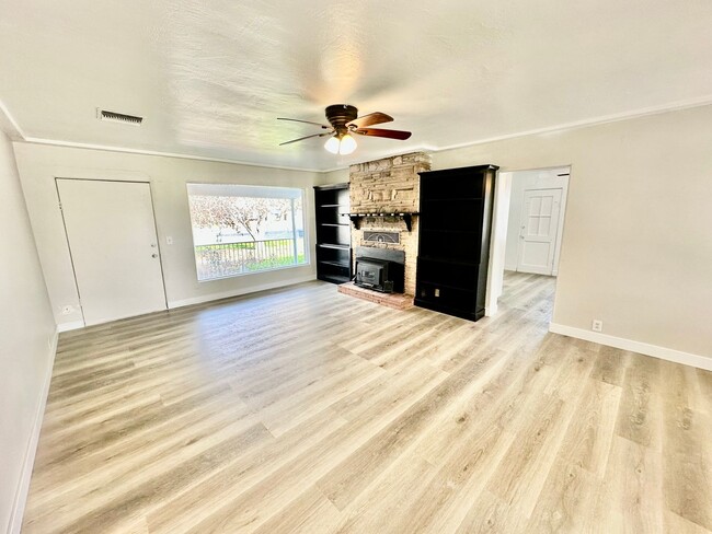
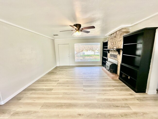
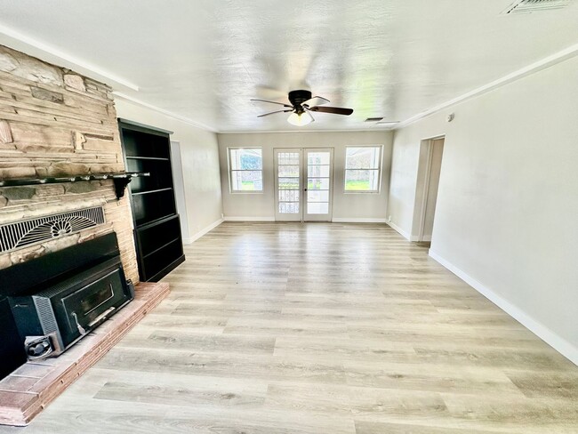
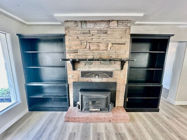
$1,950
/ Month
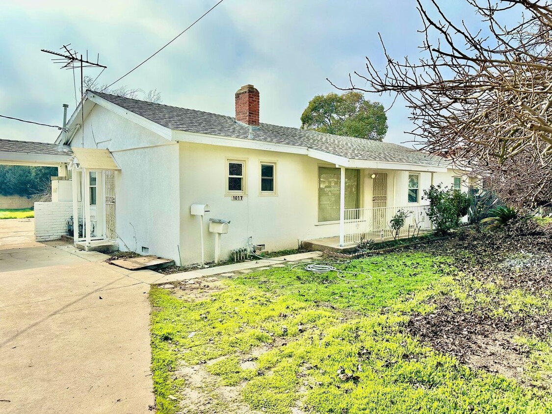
1017 W Dakota Ave Unit 1017 W Dakota Ave #A
Fresno, CA 93705
2 Weeks Ago
|
Edit
Favorites
-
Bedrooms
3
-
Bathrooms
2
-
Square Feet
1,600 sq ft
1017 W Dakota Ave Unit 1017 W Dakota Ave #A

Favorites
Contact
- Listed by Suite
Location
Get Directions
Also known as Fresno High Roeding, Roeding Park is a popular suburban neighborhood in the northern reaches of the city. One of the Fresno’s most walkable neighborhoods, Roeding Park harbors the thriving Tower District near its southeast corner, and draws visitors with an array of unique restaurants, galleries, independent shops, and fun nighttime activities.
In the western portion of the neighborhood, more than 100 acres of the namesake Roeding Park refresh and revitalize residents and visitors alike. Spend a day in the regional park's peaceful landscapes, dance to live folk music at one of the pavilions, or celebrate a birthday at the popular Chaffee Zoo. Conveniently located just minutes from Downtown Fresno, Roeding Park is fantastic option for all renters.
Learn more about living in Roeding Park
Education
| Colleges & Universities | Distance | ||
|---|---|---|---|
| Colleges & Universities | Distance | ||
| Drive: | 7 min | 3.6 mi | |
| Drive: | 13 min | 7.0 mi | |
| Drive: | 18 min | 9.1 mi | |
| Drive: | 41 min | 29.3 mi |
1017 W Dakota Ave Unit 1017 W Dakota Ave #A is within 7 minutes or 3.6 miles from Fresno City College. It is also near Fresno State and Fresno Pacific University.
Getting Around
 What do Walkability, Transit, Drivability, and Bikeability mean?
Walkability measures the walking distance to day-to-day needs.
Transit measures access to public transportation.
Drivability measures congestion, parking availability, and access to major roads.
Bikeability measures the suitability for cycling.
How It Works
What do Walkability, Transit, Drivability, and Bikeability mean?
Walkability measures the walking distance to day-to-day needs.
Transit measures access to public transportation.
Drivability measures congestion, parking availability, and access to major roads.
Bikeability measures the suitability for cycling.
How It Works
Fairly Walkable
Walkability
50
/ 100
Limited Public Transit
Transit
30
/ 100
Exceptionally Drivable
Drivability
90
/ 100
Fairly Bikeable
Bikeability
40
/ 100
Scores provided by
-
Soundscore™
-
/ 100
Traffic
-Airport
-Businesses
-Scores provided by
HowLoud What is a Sound Score Rating? A Sound Score Rating aggregates noise caused by vehicle traffic, airplane traffic and local sources. How It WorksYou May Also Like
Similar Rentals Nearby


What Are Walk Score®, Transit Score®, and Bike Score® Ratings?
Walk Score® measures the walkability of any address. Transit Score® measures access to public transit. Bike Score® measures the bikeability of any address.
What is a Sound Score Rating?
A Sound Score Rating aggregates noise caused by vehicle traffic, airplane traffic and local sources.
1017 W Dakota Ave
Fresno, CA 93705