

$1,800 / Month
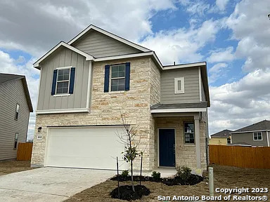
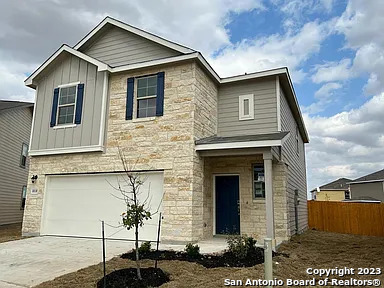
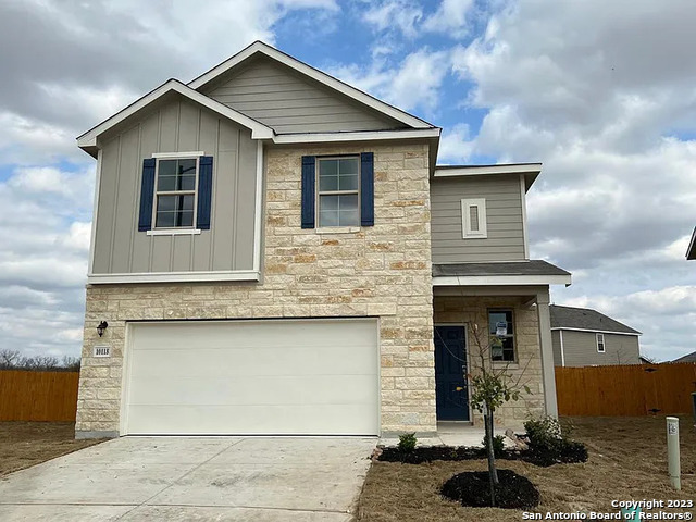
10118 Agave Azul
San Antonio, TX 78224
2 Weeks Ago
Favorites
-
Bedrooms
3
-
Bathrooms
2
-
Square Feet
1,944 sq ft
10118 Agave Azul

Favorites
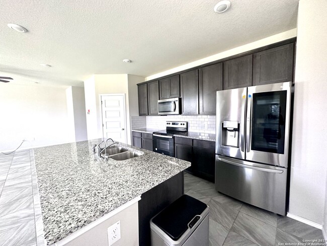
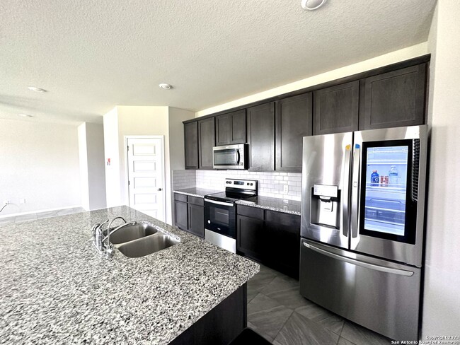
About This Home
---- SCHEDULE A SHOWING ONLINE AT: ----
10118 Agave Azul is a condo located in Bexar County and the 78224 ZIP Code.
* Price shown is base rent and may not include non-optional fees and utilities.
Price, availability, fees, and any applicable rent special are subject to change without notice.
* Square footage definitions vary. Displayed square footage is approximate.
Contact
- Listed by Locayt
Location
Get Directions
South Southwest is – you guessed it – south and west of Downtown San Antonio. The neighborhood extends from the PanAm Expressway south past the Connally Loop and includes Palo Alto College. It’s an established area with ranch-style and traditional homes among mature trees. South Southwest is a suburban community, complete with cul-de-sacs and sidewalks leading past large front yards.
Poteet Jourdanton Freeway passes through the center of the neighborhood and is lined with shops, restaurants, and other businesses. Here you’ll find local staples like the popular restaurant Georgia’s Mexican. Closer to the college, you’ll find a Taco Cabana, Subway, and Whataburger. Palo Alto Park, in the north-central part of the neighborhood, features a playground, picnic areas, and basketball courts.
Learn more about living in South Southwest
Education
| Colleges & Universities | Distance | ||
|---|---|---|---|
| Colleges & Universities | Distance | ||
| Drive: | 4 min | 1.7 mi | |
| Drive: | 9 min | 3.9 mi | |
| Drive: | 13 min | 6.2 mi | |
| Drive: | 19 min | 11.3 mi |
10118 Agave Azul is within 4 minutes or 1.7 miles from Palo Alto College. It is also near Texas A&M University and St. Philip's College, SWC.
You May Also Like
Similar Rentals Nearby
-
-

-

-

-

-

-
 $19,5208 Beds, 7 Baths, 5,391 sq ftApartment for Rent
 -

-

-

What Are Walk Score®, Transit Score®, and Bike Score® Ratings?
Walk Score® measures the walkability of any address. Transit Score® measures access to public transit. Bike Score® measures the bikeability of any address.
What is a Sound Score Rating?
A Sound Score Rating aggregates noise caused by vehicle traffic, airplane traffic and local sources
10118 Agave Azul
San Antonio, TX 78224