
Emerald at Lansdale
117 S Broad St,
Lansdale, PA 19446
$1,515 - $3,591
Studio - 2 Beds
Bedrooms
1 - 2 bd
Bathrooms
1 ba
Square Feet
661 - 843 sq ft
Quiet and convenient Mid-rise in the center of Lansdale. Crossings at Stanbridge is close to all major highways and employers. Walking distance to the Lansdale Train Station, shops, restaurants, recreational parks and much more. Our Award winning customer and maintenance service provides the highest level of comfort to our valued residents. Call us today and see why you will want to make the Crossings at Stanbridge your new home. Come home to the Crossings at Stanbridge.
Crossings at Stanbridge is an apartment community located in Montgomery County and the 19446 ZIP Code. This area is served by the North Penn School District attendance zone.
Unique Features
Fitness Center
Laundry Facilities
Furnished Units Available
Elevator
Air Conditioning
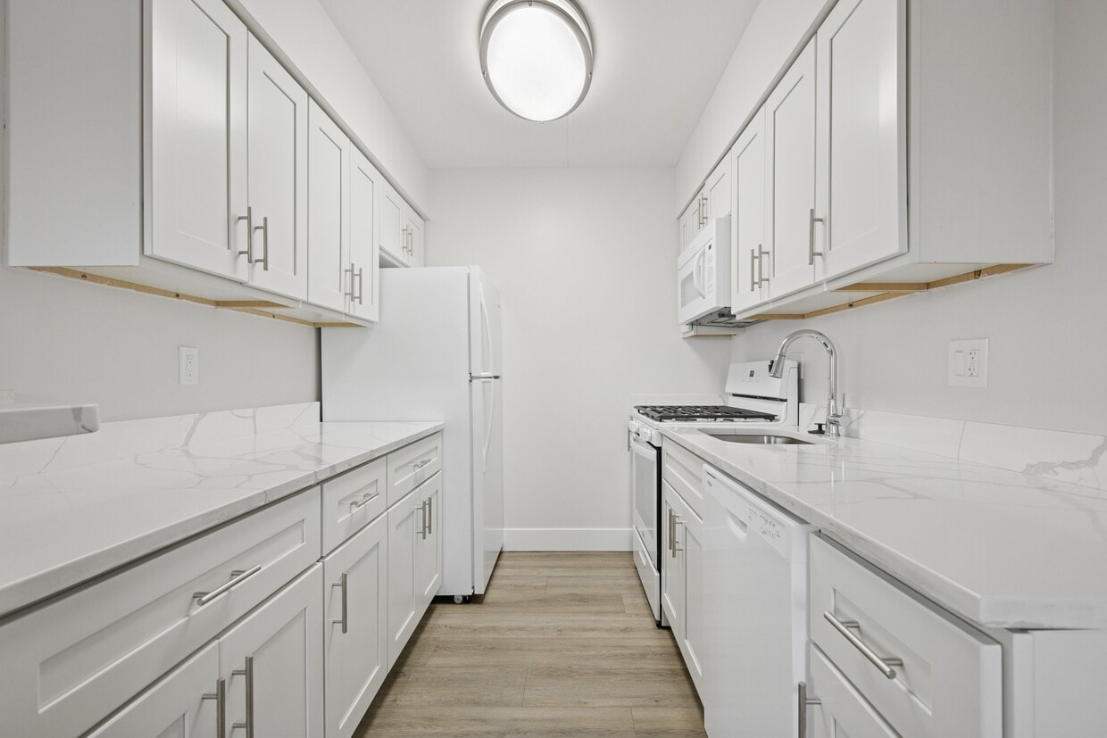
Dishwasher
High Speed Internet Access
Hardwood Floors
Nestled in the heart of the North Penn Valley, Lansdale is a small Montgomery County borough situated about 28 miles north of Philadelphia. Residents have easy access to the city via SEPTA’s Doylestown line. Primarily a residential area, Lansdale features residential neighborhoods with an array of amenity-laden apartments for rent.
Lansdale is home to a growing downtown corridor filled with specialty shops and a variety of restaurants. An increasingly diverse population has led to a rise in assorted markets and eateries in Lansdale. Residents of Lansdale have the opportunity to visit Merrymead Farm, drink what’s on tap at Round Guys Brewing Company, have a cup of joe at Backyard Beans Coffee Company, peruse the comic books at the Comic Archive, attend a wide range of community events and festivals, and so much more in this thriving city.
Learn more about living in Lansdale| Colleges & Universities | Distance | ||
|---|---|---|---|
| Colleges & Universities | Distance | ||
| Drive: | 12 min | 4.5 mi | |
| Drive: | 14 min | 6.8 mi | |
| Drive: | 17 min | 8.2 mi | |
| Drive: | 21 min | 9.9 mi |


Transportation options available in Lansdale include Norristown Transit Center, located 12.4 miles from Crossings at Stanbridge. Crossings at Stanbridge is near Trenton Mercer, located 36.5 miles or 58 minutes away, and Philadelphia International, located 37.5 miles or 55 minutes away.
| Transit / Subway | Distance | ||
|---|---|---|---|
| Transit / Subway | Distance | ||
| Drive: | 25 min | 12.4 mi | |
| Drive: | 28 min | 14.0 mi |
| Commuter Rail | Distance | ||
|---|---|---|---|
| Commuter Rail | Distance | ||
|
|
Walk: | 6 min | 0.3 mi |
| Walk: | 17 min | 0.9 mi | |
|
|
Walk: | 17 min | 0.9 mi |
|
|
Drive: | 4 min | 1.8 mi |
|
|
Drive: | 6 min | 2.8 mi |
| Airports | Distance | ||
|---|---|---|---|
| Airports | Distance | ||
|
Trenton Mercer
|
Drive: | 58 min | 36.5 mi |
|
Philadelphia International
|
Drive: | 55 min | 37.5 mi |
Scores provided by
Traffic
-Airport
-Businesses
-Scores provided by
HowLoud What is a Sound Score Rating? A Sound Score Rating aggregates noise caused by vehicle traffic, airplane traffic and local sources. How It WorksTime and distance from Crossings at Stanbridge.
| Shopping Centers | Distance | ||
|---|---|---|---|
| Shopping Centers | Distance | ||
| Walk: | 11 min | 0.6 mi | |
| Walk: | 15 min | 0.8 mi | |
| Walk: | 16 min | 0.9 mi |
| Parks and Recreation | Distance | ||
|---|---|---|---|
| Parks and Recreation | Distance | ||
|
Gwynedd Wildlife Preserve
|
Drive: | 12 min | 5.5 mi |
|
Norristown Farm Park
|
Drive: | 17 min | 8.5 mi |
|
Henry Schmieder Arboretum
|
Drive: | 19 min | 9.4 mi |
|
Peace Valley Park
|
Drive: | 21 min | 9.4 mi |
|
Evansburg State Park
|
Drive: | 25 min | 12.4 mi |
| Hospitals | Distance | ||
|---|---|---|---|
| Hospitals | Distance | ||
| Drive: | 3 min | 1.2 mi | |
| Drive: | 13 min | 6.6 mi | |
| Drive: | 18 min | 9.0 mi |
| Military Bases | Distance | ||
|---|---|---|---|
| Military Bases | Distance | ||
| Drive: | 22 min | 11.0 mi | |
| Drive: | 30 min | 15.4 mi |
What Are Walk Score®, Transit Score®, and Bike Score® Ratings?
Walk Score® measures the walkability of any address. Transit Score® measures access to public transit. Bike Score® measures the bikeability of any address.
What is a Sound Score Rating?
A Sound Score Rating aggregates noise caused by vehicle traffic, airplane traffic and local sources.

38 Jenkins Ave
Lansdale, PA 19446


