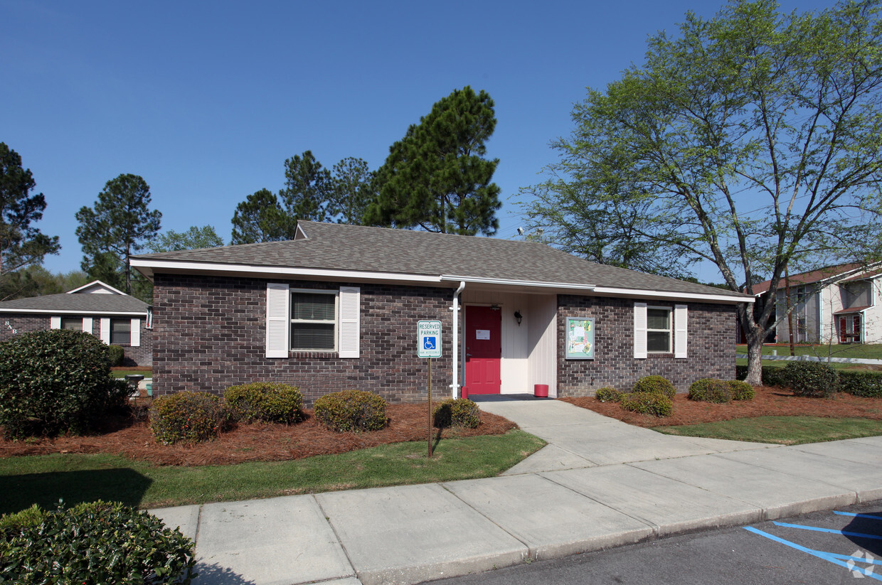


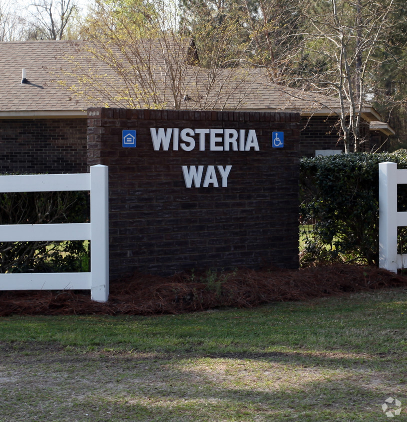
Wisteria Way
204 E Hospital St,
Manning,
SC
29102
2 Weeks Ago
Favorites
Wisteria Way
Favorites
About Wisteria Way
Wisteria Way in Manning is ready to be your home. The 29102 location is an ideal place to live. From amenities to floorplan options, the leasing team is ready to help you find the perfect place. Be sure to come for a visit to see the available floorplan options. Contact us or drop by to talk about leasing your new apartment and see Wisteria Way.
Wisteria Way is an apartment community located in Clarendon County and the 29102 ZIP Code. This area is served by the Clarendon 02 School District attendance zone.
Community Amenities
- 24 Hour Access
Apartment Features
- Air Conditioning
- Wheelchair Accessible (Rooms)
204 E Hospital St,
Manning,
SC
29102
Manning is a small town in Clarendon County known for its fishing opportunities and its landlocked striped bass in particular. Manning is home to the Annual Striped Bass Festival as well as several fishing tournaments. Farmland surrounds Manning, leading to a distinct rural feel in town.
Manning residents have plenty of opportunities to bask in the great outdoors, with Lake Marion, Manchester State Forest, Congaree National Park, and Francis Marion National Forest all within close proximity to town. In addition to outdoor recreation, Manning residents enjoy access to a slew of quaint shops, offices, and cafes that line the tree-laden Brooks Street in the center of town.
South Carolina’s capital city, Columbia, and coastal Myrtle Beach are both within a two-hour drive of Manning as well. Convenience to I-95 and U.S. Routes 301 and 521 makes getting around from Manning simple.
Learn more about living in Manning
Education
Schools


Public Elementary School
Grades 2-3
390 Students
Attendance Zone
Public Elementary School
Grades 4-6
674 Students
Attendance Zone
Public Elementary School
Grades PK-3
529 Students
Nearby
Public Middle School
Grades 7-8
419 Students
Attendance Zone
Public High School
Grades 9-12
845 Students
Attendance Zone
Private Elementary, Middle & High School
Grades PK-12
1,005 Students
Nearby
School data provided by
 The GreatSchools Rating helps parents compare schools within a state based on a variety of school quality indicators and provides a helpful picture of how effectively each school serves all of its students. Ratings are on a scale of 1 (below average) to 10 (above average) and can include test scores, college readiness, academic progress, advanced courses, equity, discipline and attendance data. We also advise parents to visit schools, consider other information on school performance and programs, and consider family needs as part of the school selection process.
View GreatSchools Rating Methodology
Data provided by GreatSchools.org © 2026. All rights reserved.
View GreatSchools Rating Methodology
Data provided by GreatSchools.org © 2026. All rights reserved.
Walkability Near Wisteria Way
Getting Around
 What do Walkability, Transit, Drivability, and Bikeability mean?
Walkability measures the walking distance to day-to-day needs.
Transit measures access to public transportation.
Drivability measures congestion, parking availability, and access to major roads.
Bikeability measures the suitability for cycling.
How It Works
What do Walkability, Transit, Drivability, and Bikeability mean?
Walkability measures the walking distance to day-to-day needs.
Transit measures access to public transportation.
Drivability measures congestion, parking availability, and access to major roads.
Bikeability measures the suitability for cycling.
How It Works
Fairly Walkable
Walkability
40
/ 100
Very Drivable
Drivability
80
/ 100
Somewhat Bikeable
Bikeability
30
/ 100
Scores provided by
-
Soundscore™
-
/ 100
Traffic
-Airport
-Businesses
-Scores provided by
HowLoud What is a Sound Score Rating? A Sound Score Rating aggregates noise caused by vehicle traffic, airplane traffic and local sources. How It WorksExplore Similar Rentals Nearby


What Are Walk Score®, Transit Score®, and Bike Score® Ratings?
Walk Score® measures the walkability of any address. Transit Score® measures access to public transit. Bike Score® measures the bikeability of any address.
What is a Sound Score Rating?
A Sound Score Rating aggregates noise caused by vehicle traffic, airplane traffic and local sources.

204 E Hospital St
Manning, SC 29102