

$900
/ Month
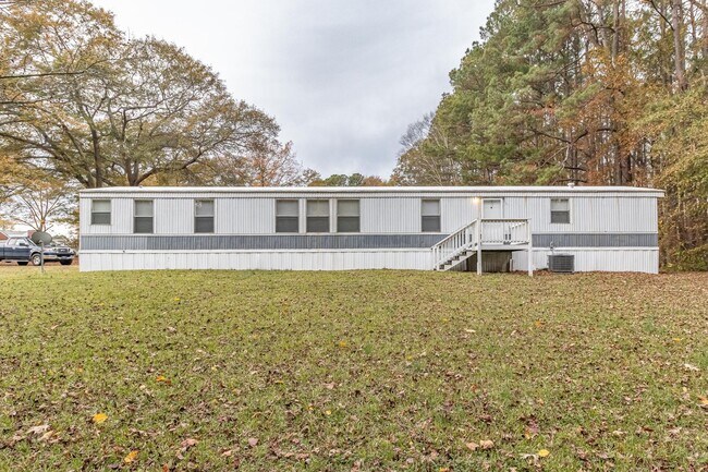
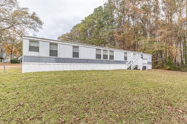
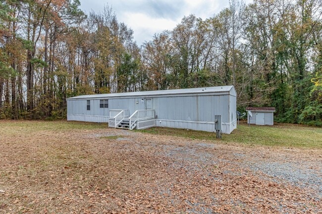
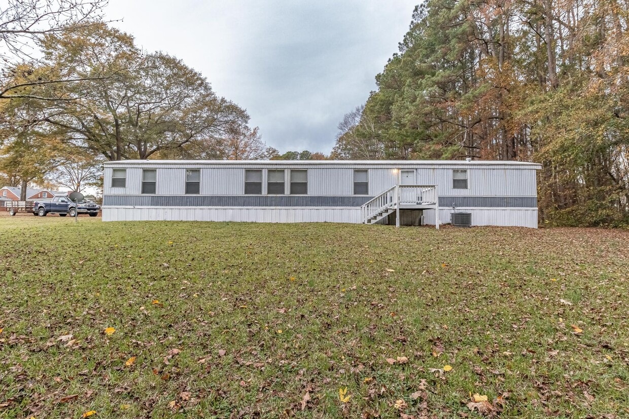
U.S. US-70 Unit 4110 B U.S. HWY 70 W
Goldsboro, NC 27530
2 Weeks Ago
|
Edit
Favorites
U.S. US-70 Unit 4110 B U.S. HWY 70 W

Favorites
Check Back Soon for Upcoming Availability
| Beds | Baths | Average SF |
|---|---|---|
| 3 Bedrooms 3 Bedrooms 3 Br | 2 Baths 2 Baths 2 Ba | — |
About This Property
Check out your new rental in Goldsboro, NC. Living at this U.S. US-70 location in Goldsboro, you'll have access to great destinations. With this great space, you're right at home. Let us assist you! Contact us now to discuss the next steps!
U.S. Us-70 is an apartment community located in Wayne County and the 27530 ZIP Code.
U.S. US-70,
Goldsboro,
NC
27530
Located in eastern North Carolina, Goldsboro is the proud home of the Seymour Johnson Air Force Base. Goldsboro offers residents all the comfort and convenience of suburban living with a rural flair. Shopping opportunities abound at Berkeley Mall, Memorial Commons, and throughout the historic downtown area. A slew of restaurants, entertainment venues, and small businesses are also available in Downtown Goldsboro. Outdoor recreation is plentiful at a variety of community parks, golf courses, and the Neuse and Little Rivers in addition to the Busco Beach and ATV Park. Goldsboro is within an hour’s drive of numerous cities, including Raleigh, Fayetteville, and Greenville. Convenience to a host of major highways makes getting around from Goldsboro simple.
Learn more about living in Goldsboro
Education
| Colleges & Universities | Distance | ||
|---|---|---|---|
| Colleges & Universities | Distance | ||
| Drive: | 25 min | 16.2 mi | |
| Drive: | 57 min | 38.1 mi |
U.S. US-70 Unit 4110 B U.S. HWY 70 W is within 25 minutes or 16.2 miles from Mount Olive College. It is also near Pitt Community College.
Walkability Near U.S. US-70 Goldsboro, NC 27530
Getting Around
 What do Walkability, Transit, Drivability, and Bikeability mean?
Walkability measures the walking distance to day-to-day needs.
Transit measures access to public transportation.
Drivability measures congestion, parking availability, and access to major roads.
Bikeability measures the suitability for cycling.
How It Works
What do Walkability, Transit, Drivability, and Bikeability mean?
Walkability measures the walking distance to day-to-day needs.
Transit measures access to public transportation.
Drivability measures congestion, parking availability, and access to major roads.
Bikeability measures the suitability for cycling.
How It Works
Fairly Walkable
Walkability
40
/ 100
Exceptionally Drivable
Drivability
100
/ 100
Somewhat Bikeable
Bikeability
30
/ 100
Scores provided by
-
Soundscore™
-
/ 100
Traffic
-Airport
-Businesses
-Scores provided by
HowLoud What is a Sound Score Rating? A Sound Score Rating aggregates noise caused by vehicle traffic, airplane traffic and local sources. How It WorksYou May Also Like
Similar Rentals Nearby


What Are Walk Score®, Transit Score®, and Bike Score® Ratings?
Walk Score® measures the walkability of any address. Transit Score® measures access to public transit. Bike Score® measures the bikeability of any address.
What is a Sound Score Rating?
A Sound Score Rating aggregates noise caused by vehicle traffic, airplane traffic and local sources.
U.S. US-70
Goldsboro, NC 27530