
Avila Apartments in Downtown SLO
475-497 Marsh St,
San Luis Obispo, CA 93401
$1,975 - $2,200
Studio - 1 Bed
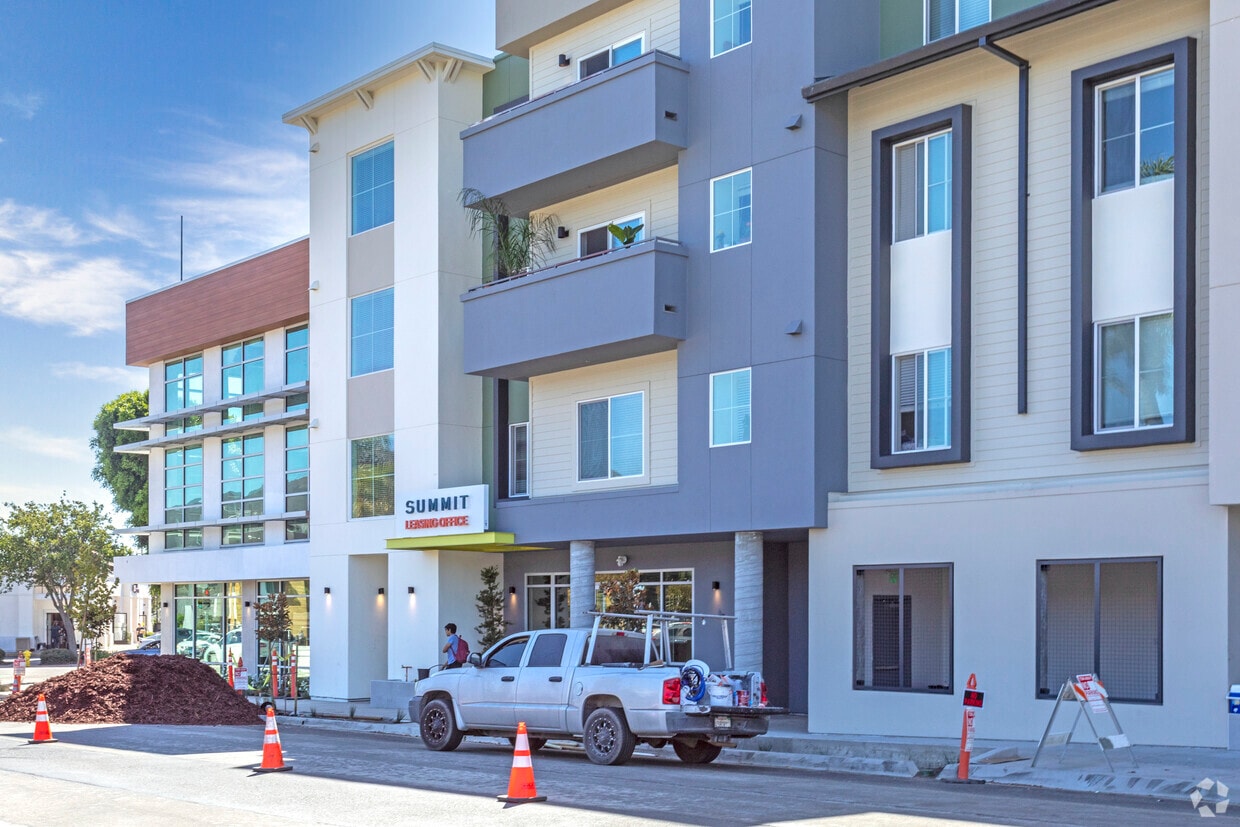
The Summit is an apartment community located in San Luis Obispo County and the 93405 ZIP Code.
Air Conditioning
Dishwasher
Microwave
Refrigerator
San Luis Obispo sits roughly midway between San Francisco and Los Angeles along California's Central Coast, occupying a compact 14 square miles where the Santa Lucia Mountains meet a Mediterranean climate that rarely overstays its welcome. Founded in 1772 around Mission San Luis Obispo de Tolosa, the city carries centuries of history into a present shaped largely by California Polytechnic State University, whose campus anchors the north end of town and drives much of the local economy, research activity, and intellectual energy. Downtown draws residents with Victorian-era storefronts, a well-known Thursday night Farmers Market, and streets designed with cyclists in mind — the city holds a Gold-level Bicycle Friendly Community designation. Neighborhoods range from the historic Old Town district, with homes dating to the 1880s, to newer residential areas closer to Cal Poly.
Learn more about living in San Luis Obispo| Colleges & Universities | Distance | ||
|---|---|---|---|
| Colleges & Universities | Distance | ||
| Drive: | 3 min | 1.1 mi | |
| Drive: | 9 min | 5.3 mi | |
| Drive: | 39 min | 30.7 mi | |
| Drive: | 43 min | 33.1 mi |
Scores provided by
Traffic
ActiveAirport
CalmBusinesses
ActiveScores provided by
HowLoud What is a Sound Score Rating? A Sound Score Rating aggregates noise caused by vehicle traffic, airplane traffic and local sources. How It Works
What Are Walk Score®, Transit Score®, and Bike Score® Ratings?
Walk Score® measures the walkability of any address. Transit Score® measures access to public transit. Bike Score® measures the bikeability of any address.
What is a Sound Score Rating?
A Sound Score Rating aggregates noise caused by vehicle traffic, airplane traffic and local sources.

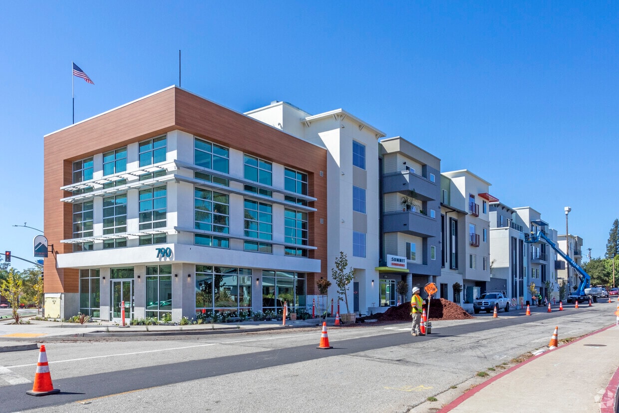
790 E Foothill Blvd
San Luis Obispo, CA 93405


